
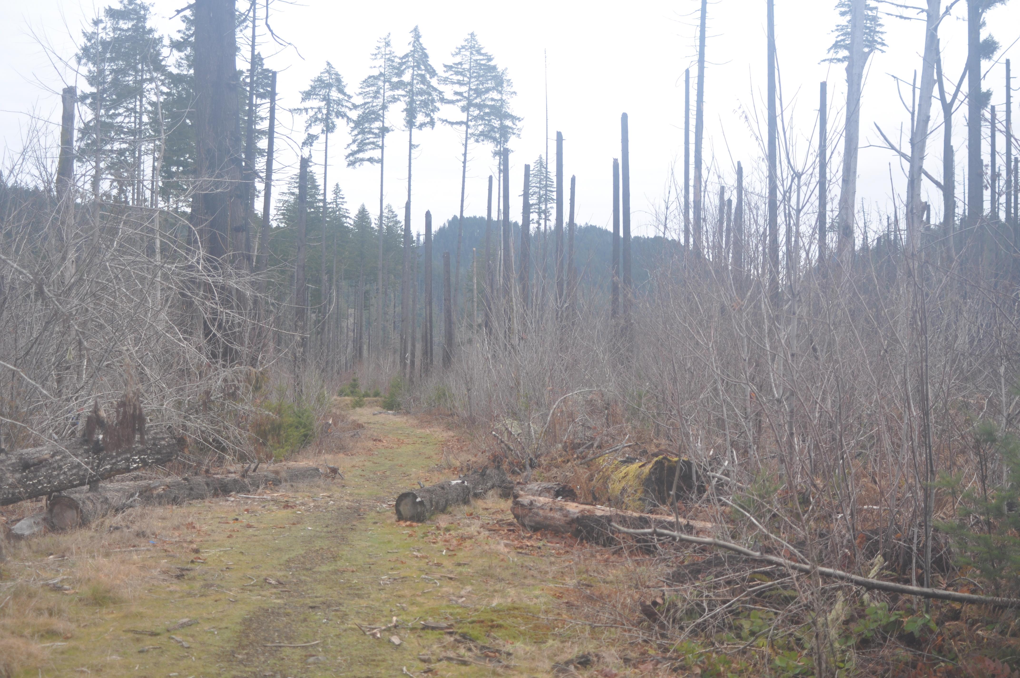
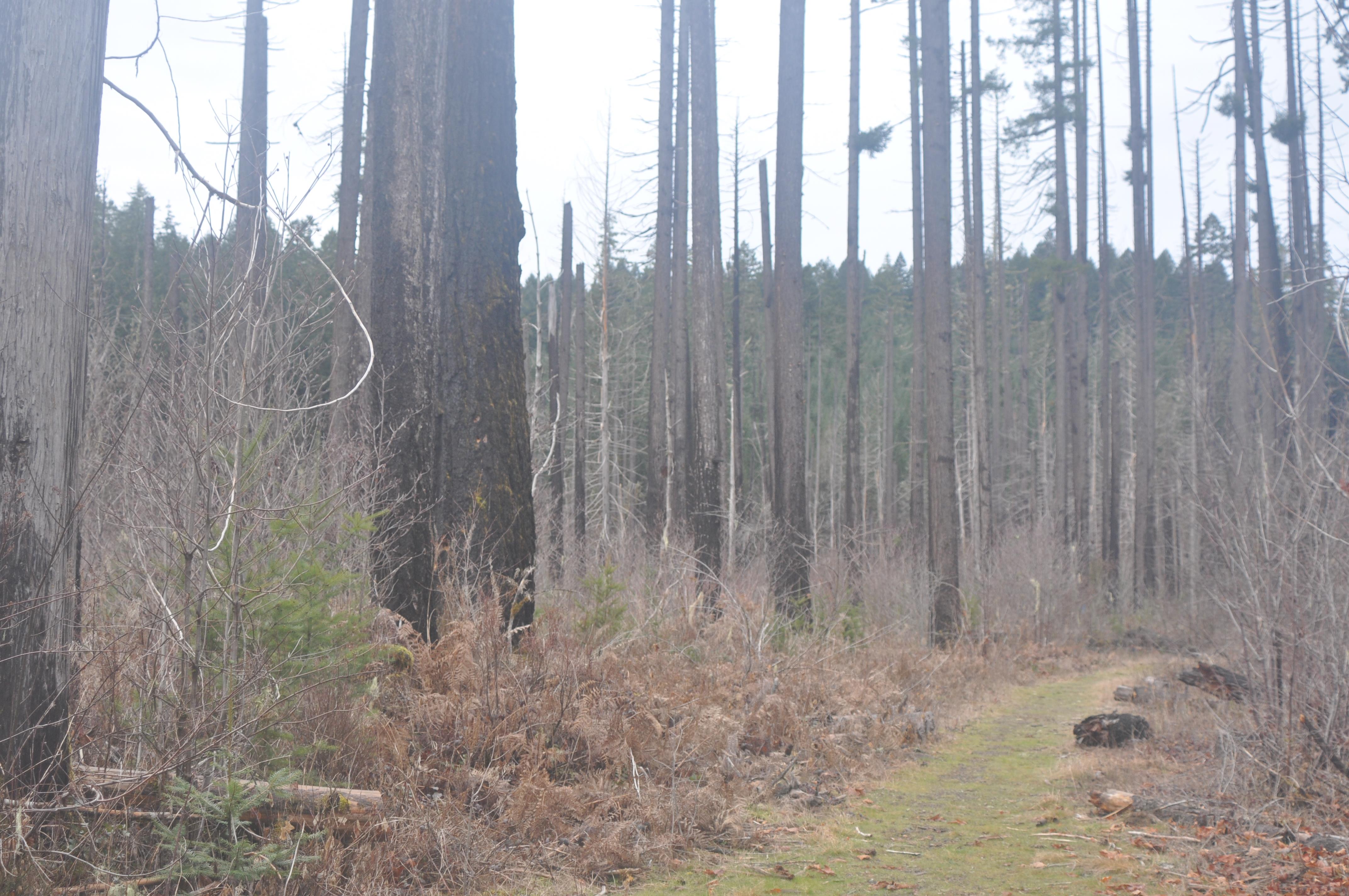
Mid-day I came to the edge of the wildfire patch. This tree had partial-cut boundary tags (as opposed to a clear-cut) on it. Based on their state, I’m guessing they were there before the fire. It makes me wonder if the cutting was the source of ignition. Also note that the reddish-brown patches of bark are the original color. The rest of it is burned to that black color:
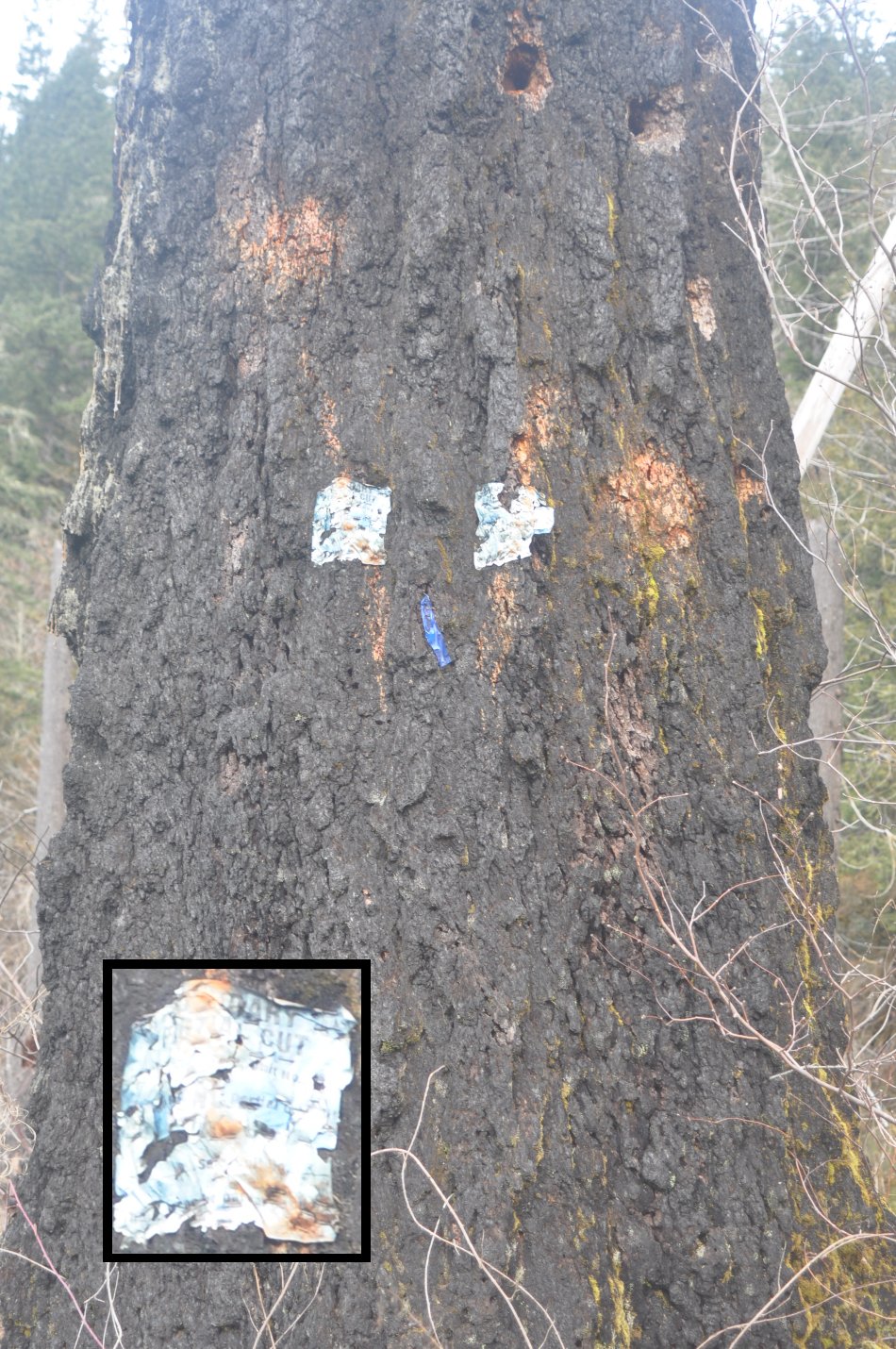
There were a lot of standing logs in this area.
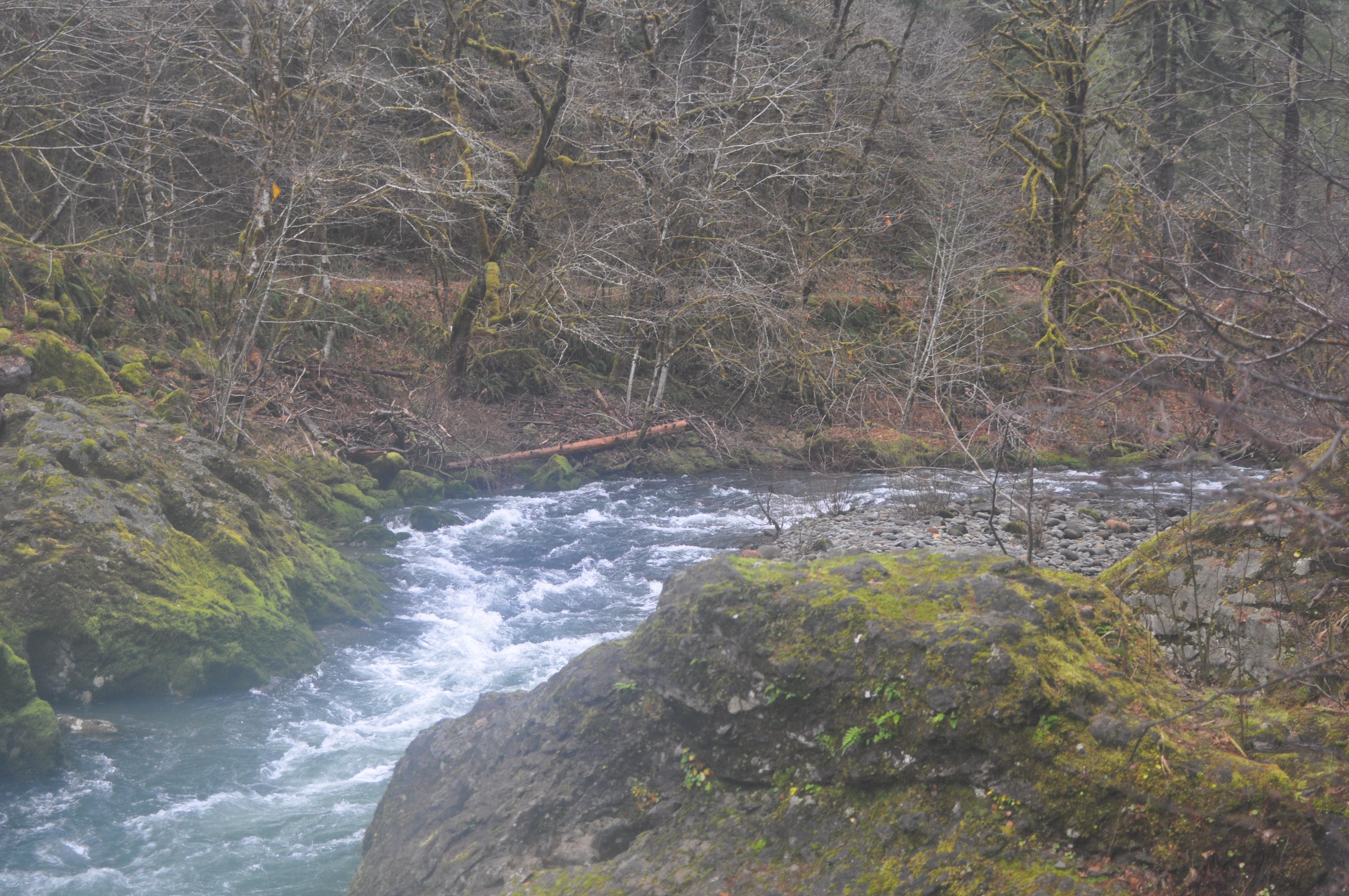
Looking at the map now, I see that all I needed to do was cross the creek at the bridge that was there and the rest of the trail was just off the road. How did I miss that?
When you add in all the side trips and looking for the trail in the burned area, my round trip mileage was 8.31 miles. Not as far as I would have liked, but a good walk nevertheless. A KMZ file with my track is available here, if you want to load it into Google Earth and see where I went. You can even see the burn, since the satellite imagery was taken this last summer.
This was the end of my hike, but please continue to the next page – there is more…
Oh, I want to do that hike!
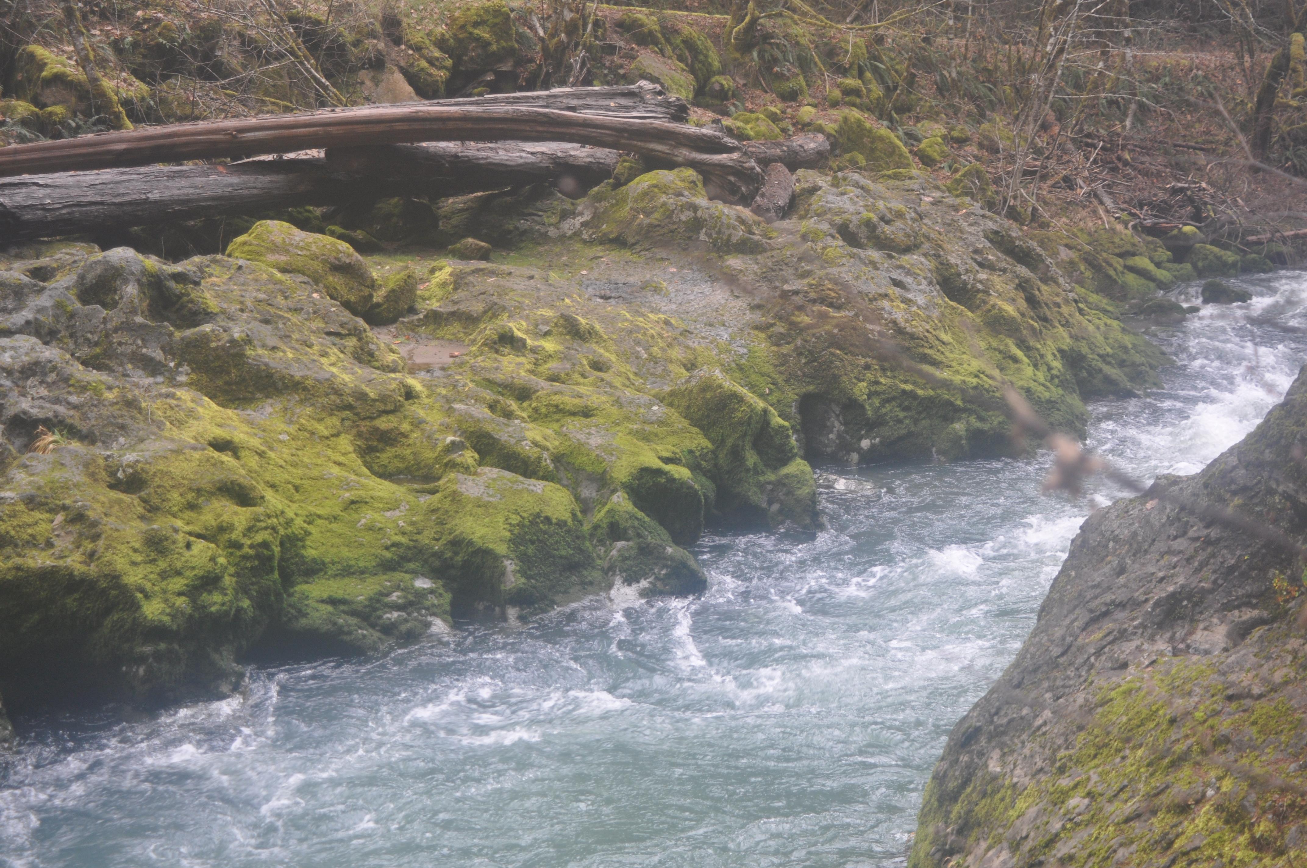
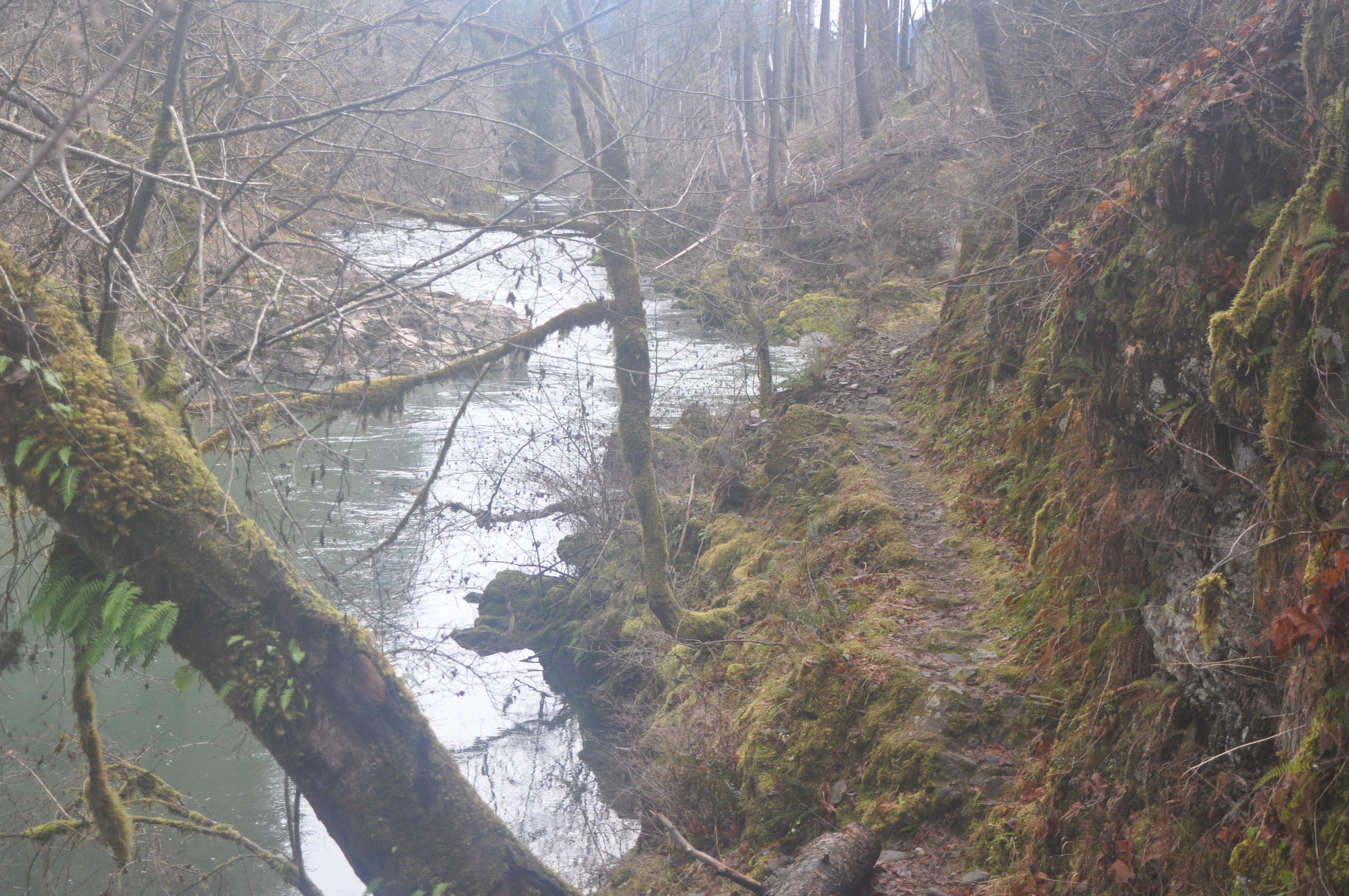
Beautiful trail, Tim. I love the water shots.