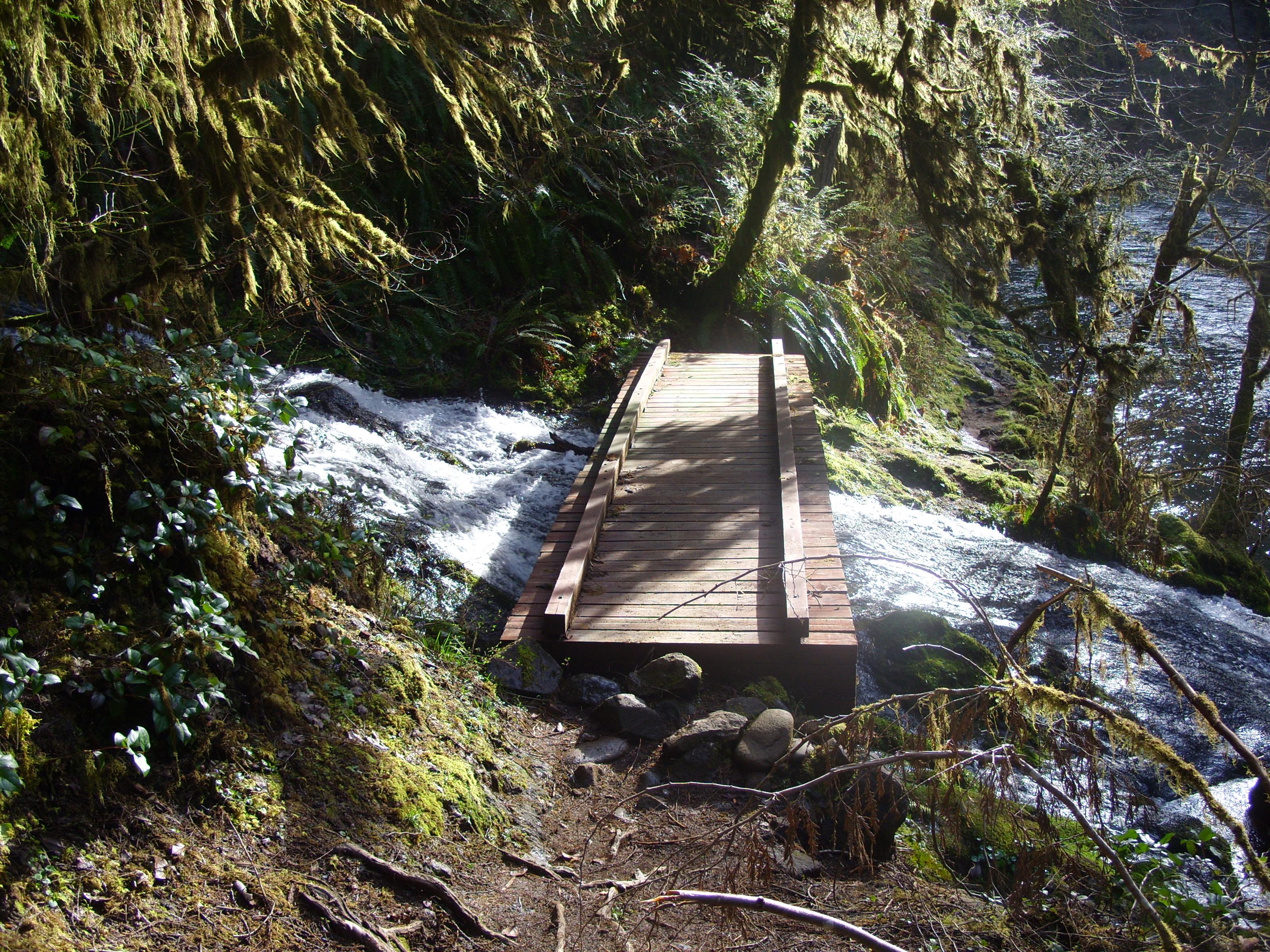
I had crossed a number of bridges over tributaries to Fall Creek on my way out. I decided to photograph every one on the way back to the car. It turns out there were 19 bridges, and that is ignoring all the places where smaller streams simply went under the trail through a culvert, or simply dribbled down the hillside to pool on the trail and then spill over the other side on its way to the creek below. I’ll also skip the road bridge that crosses Fall Creek where I lost the trail last time I was here, because it’s just a standard concrete bridge for cars. So, starting with the bridge farthest from the trailhead…
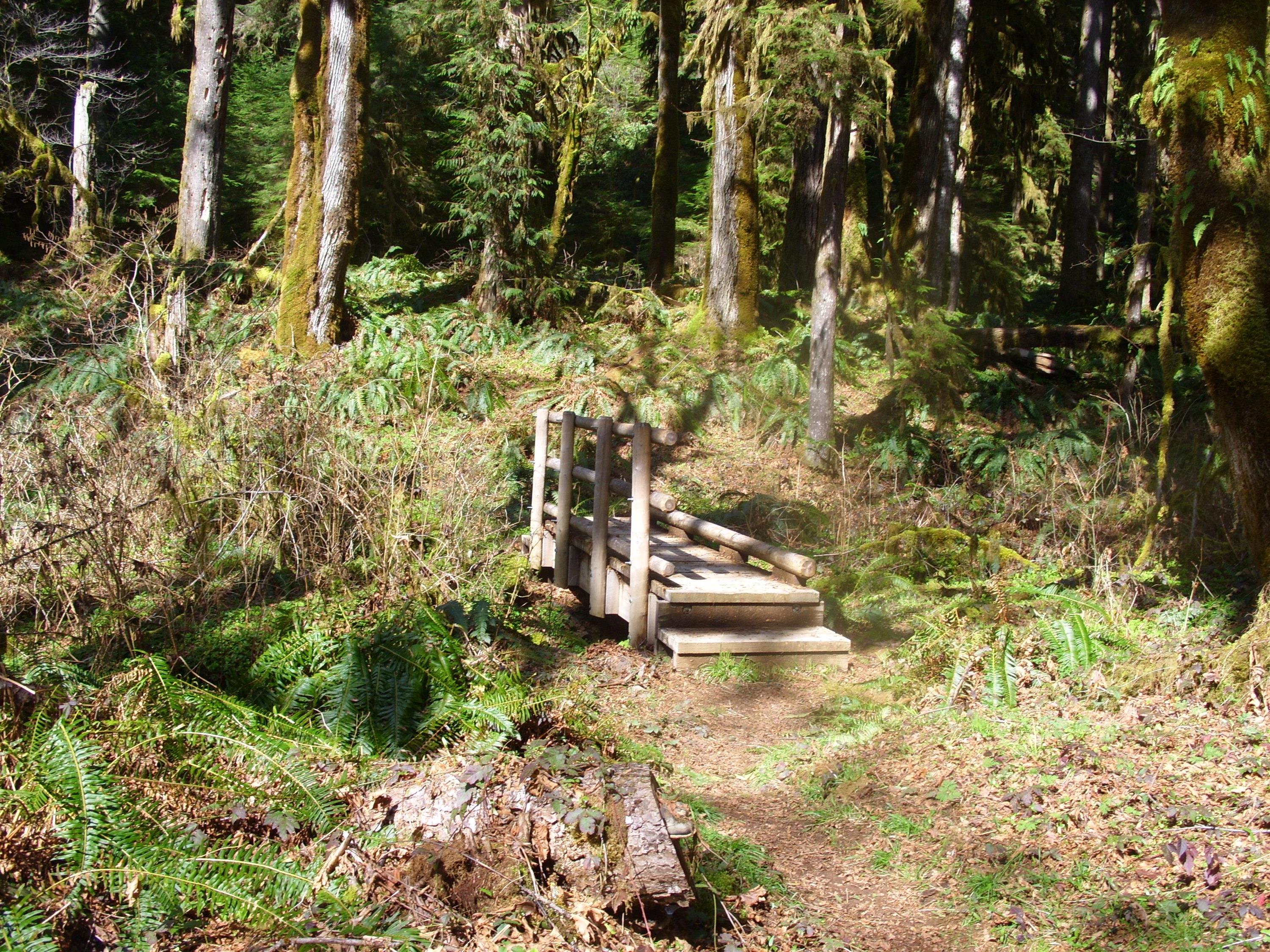
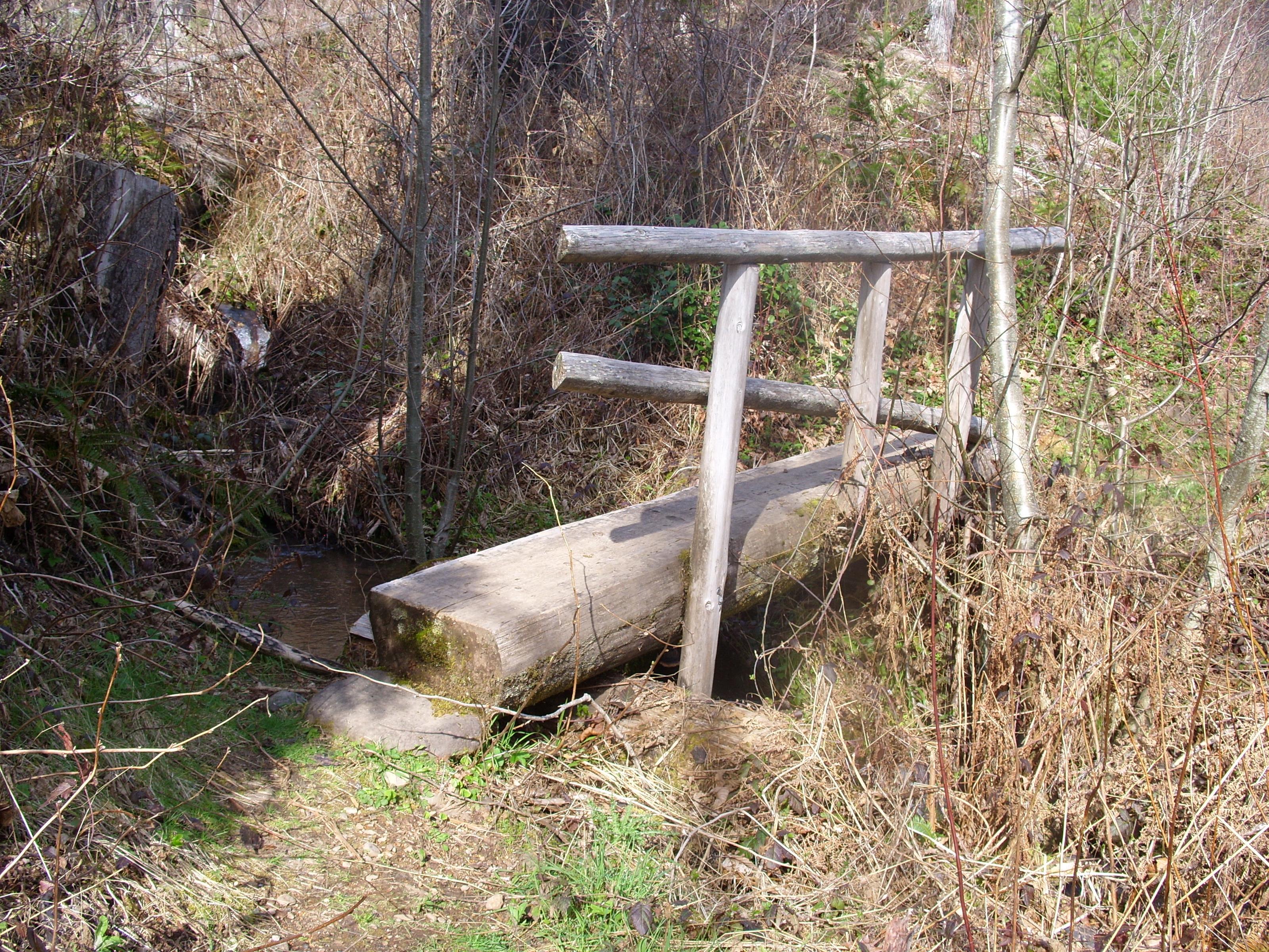
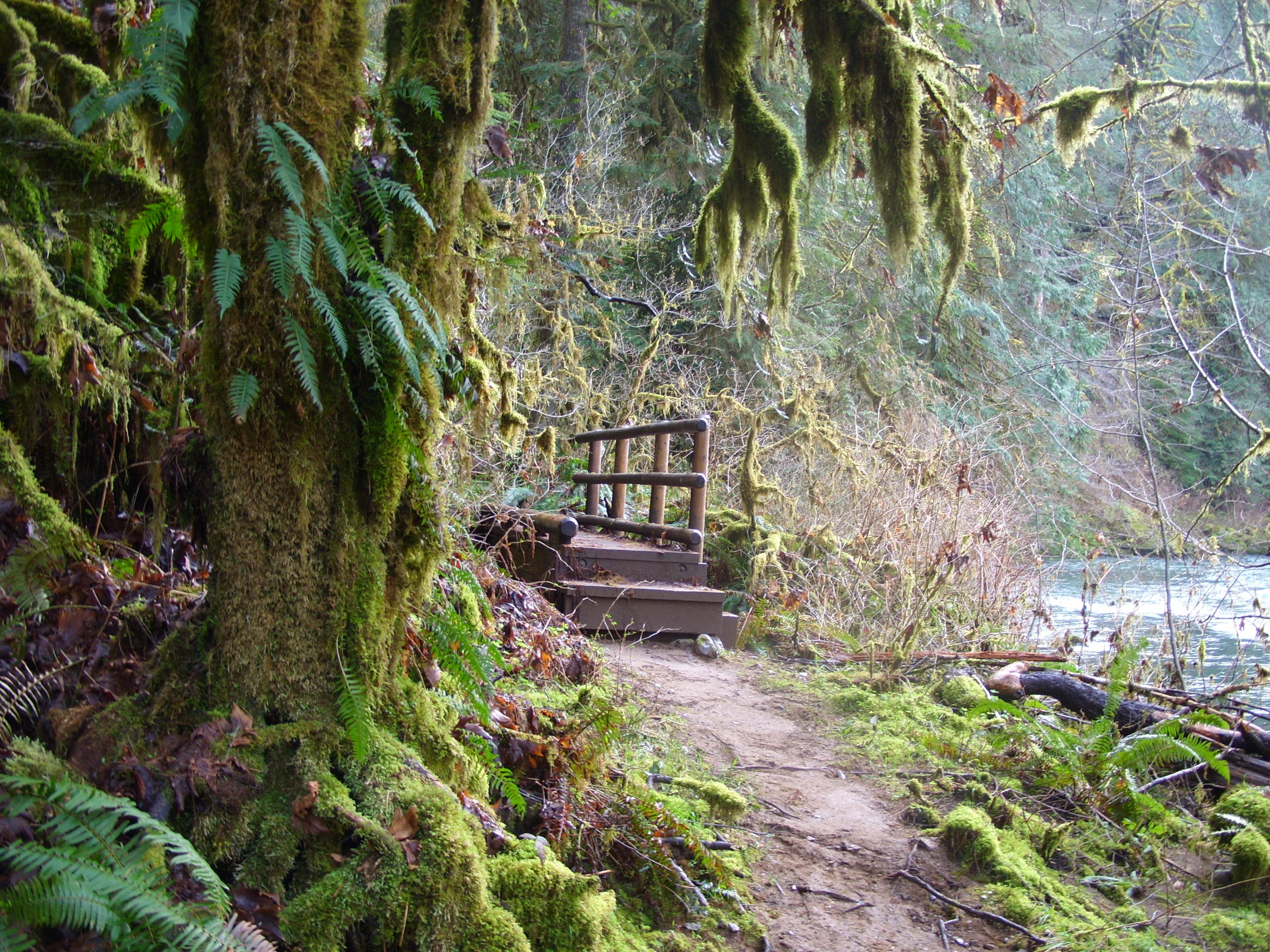
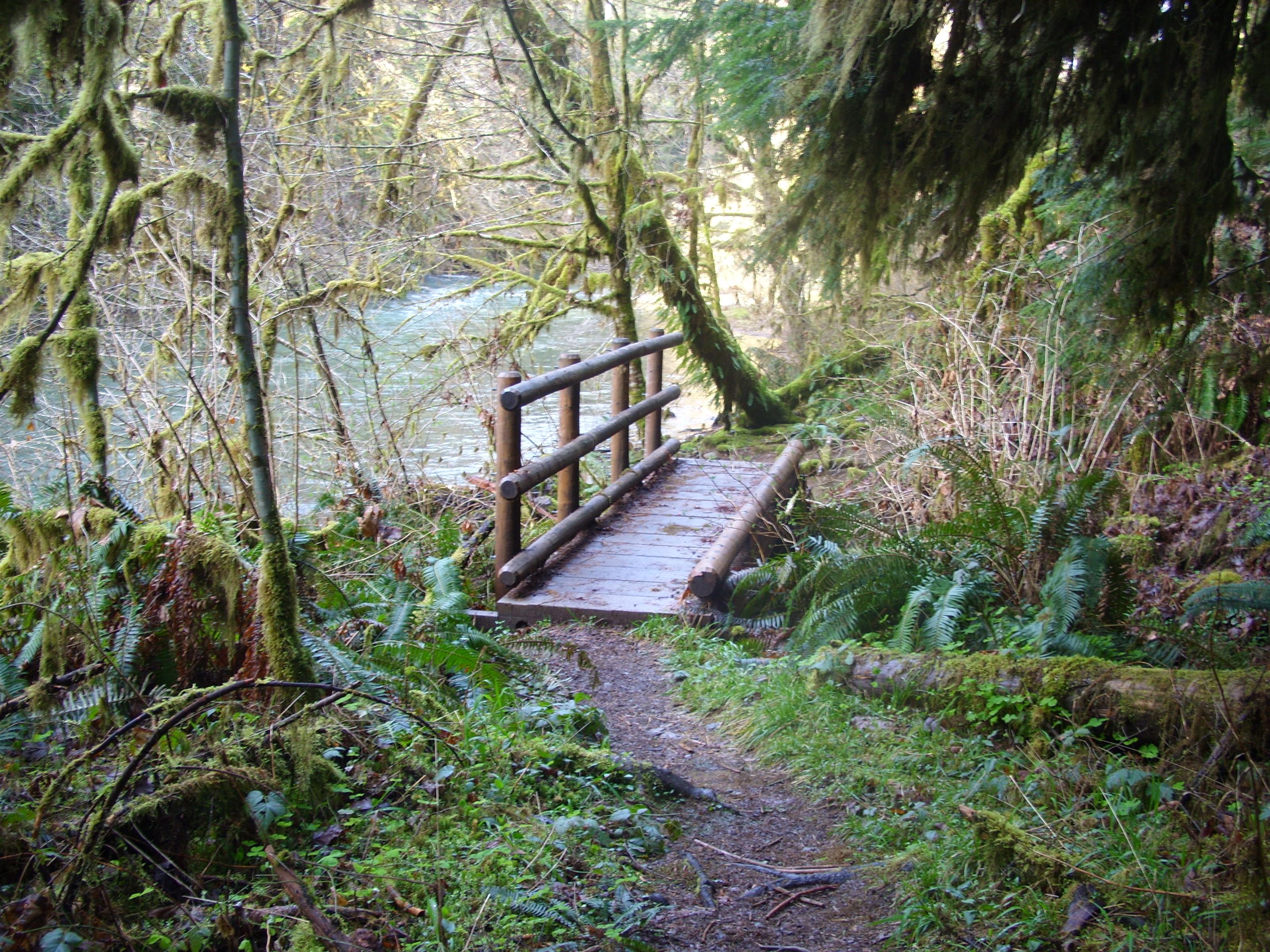
Bridge 19:
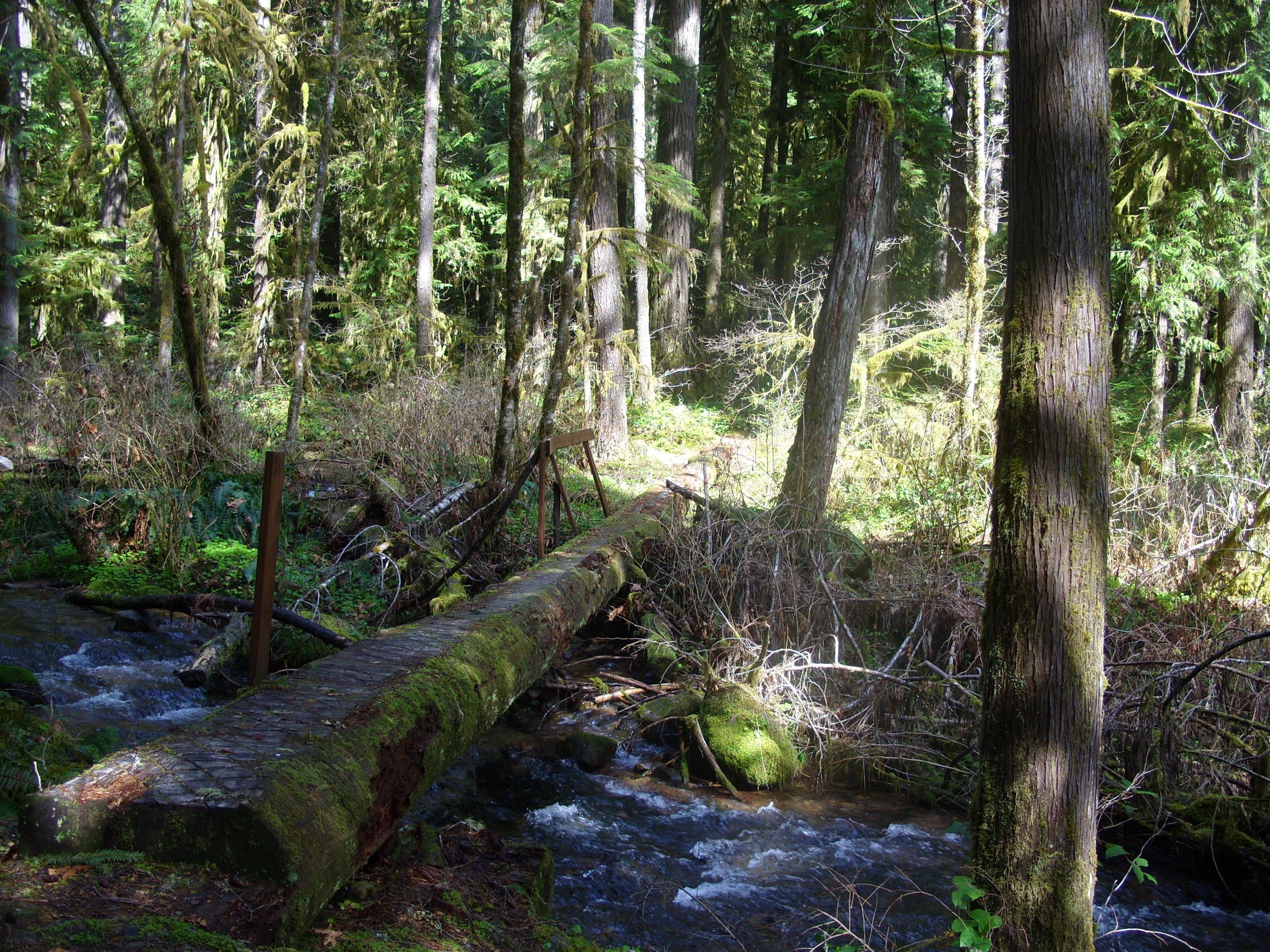
Bridge 18 – Jones Creek. This was really just a large log with the top side cut flat. It had some railing, but most of it had been torn away at some point and is gone:
Bridge 17. Another simple log bridge, this time such a small one that no rail is even needed:

Bridge 16 – Bedrock Creek:
Bridge 15 – Slick Creek. This is the bridge just below the cave. It spans a gap that would be downright difficult to cross otherwise:
Bridge 14. Damaged and missing railings:

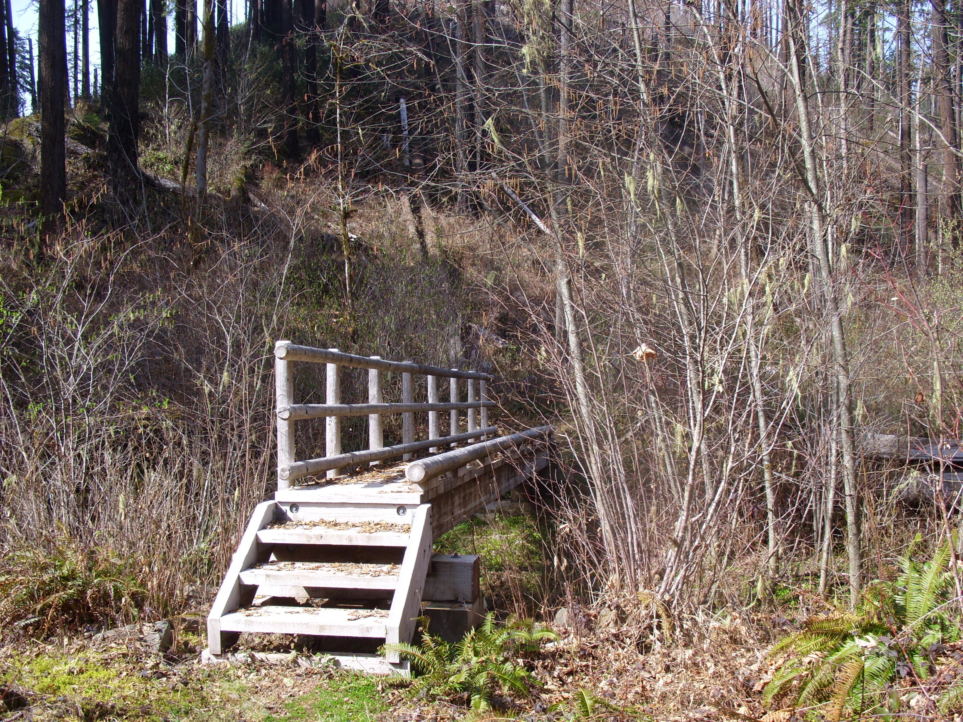
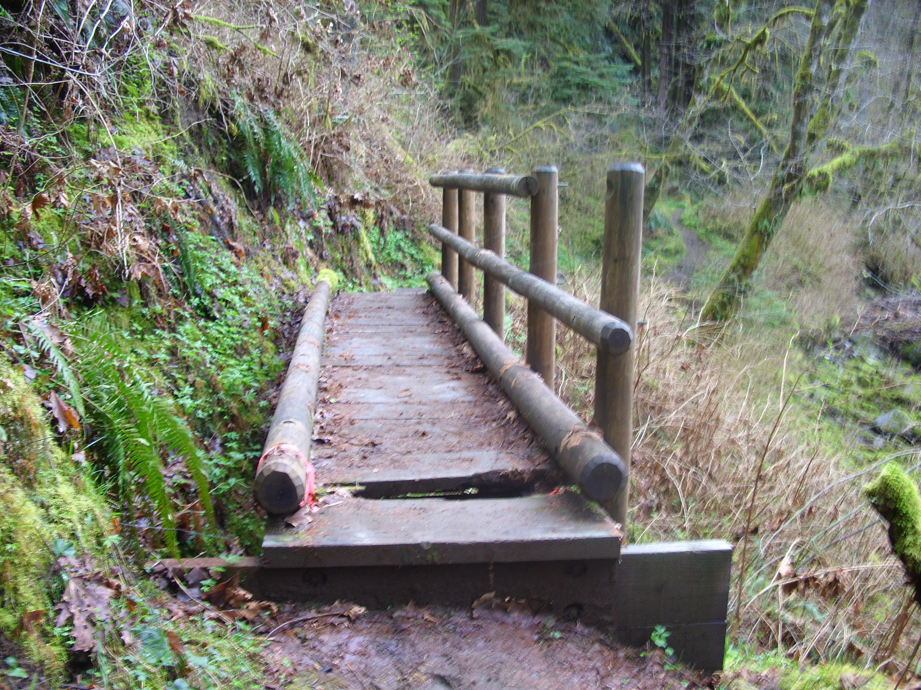
Bridge 13. This small bridge was missing a screw at one end of the lower railing:
Bridge 12:
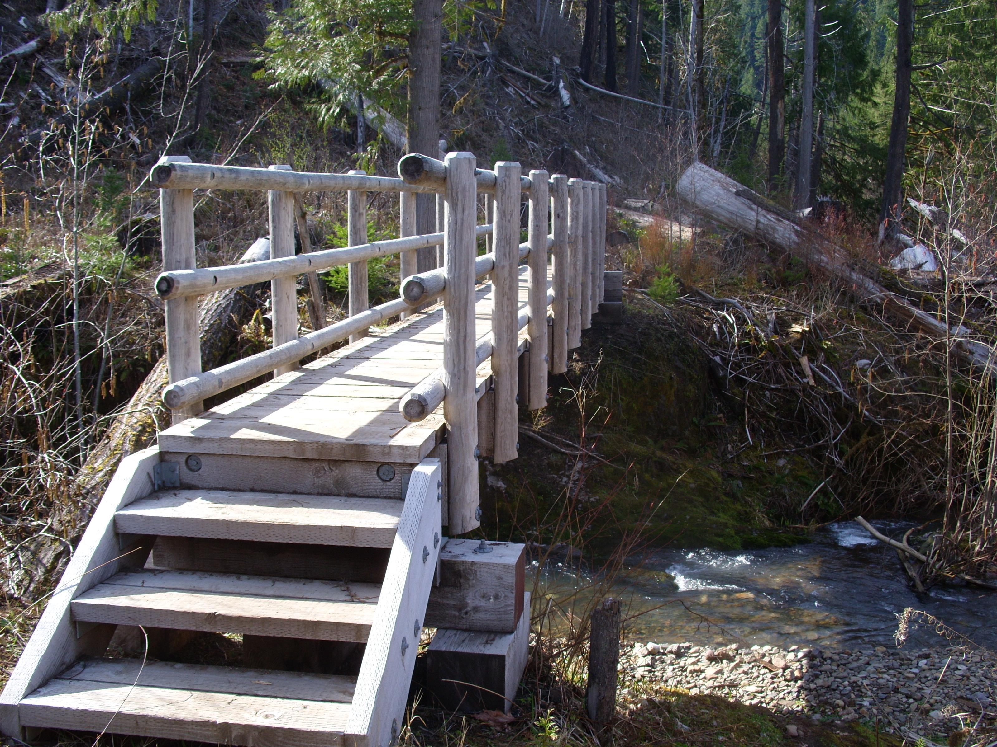
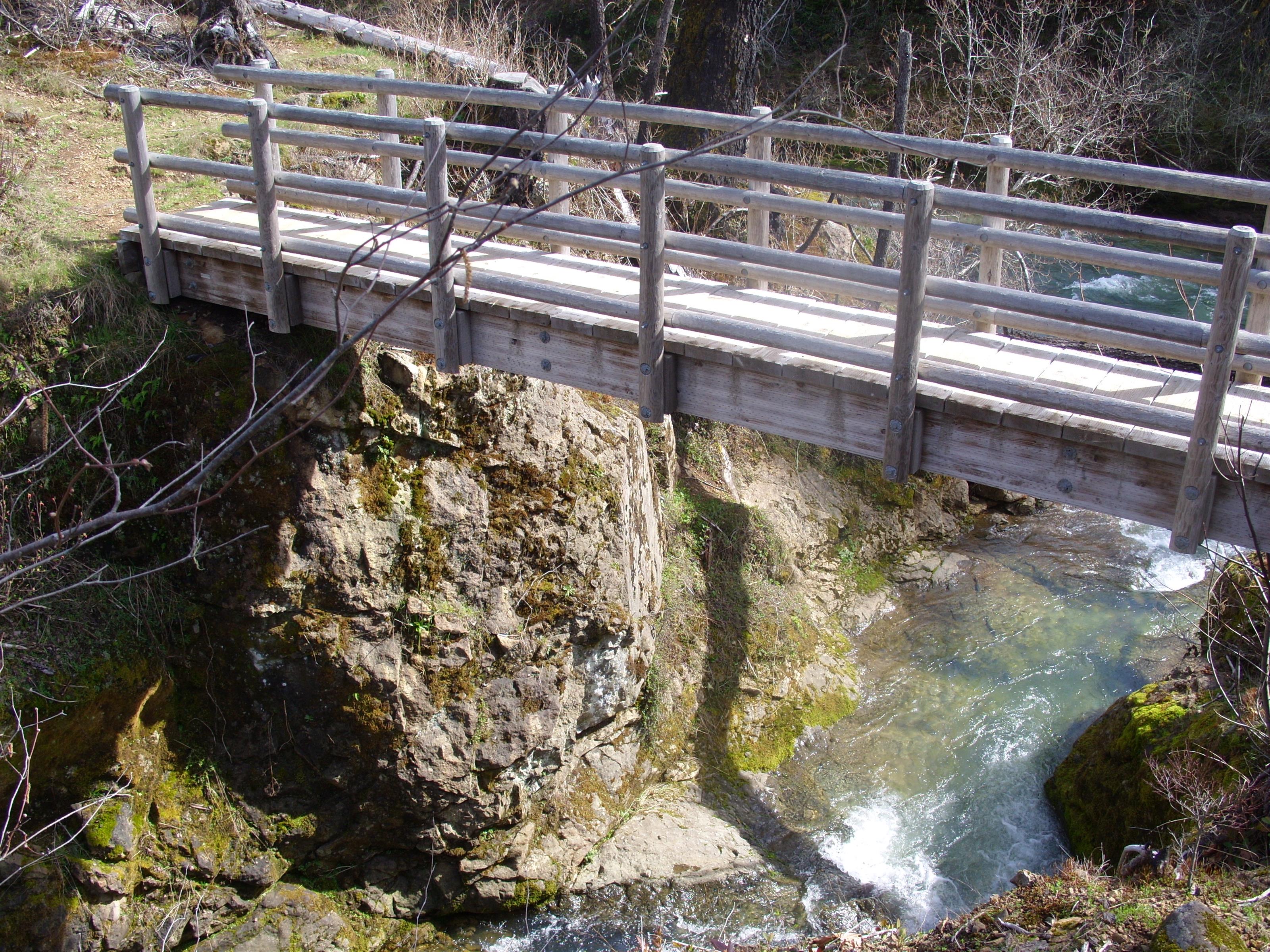
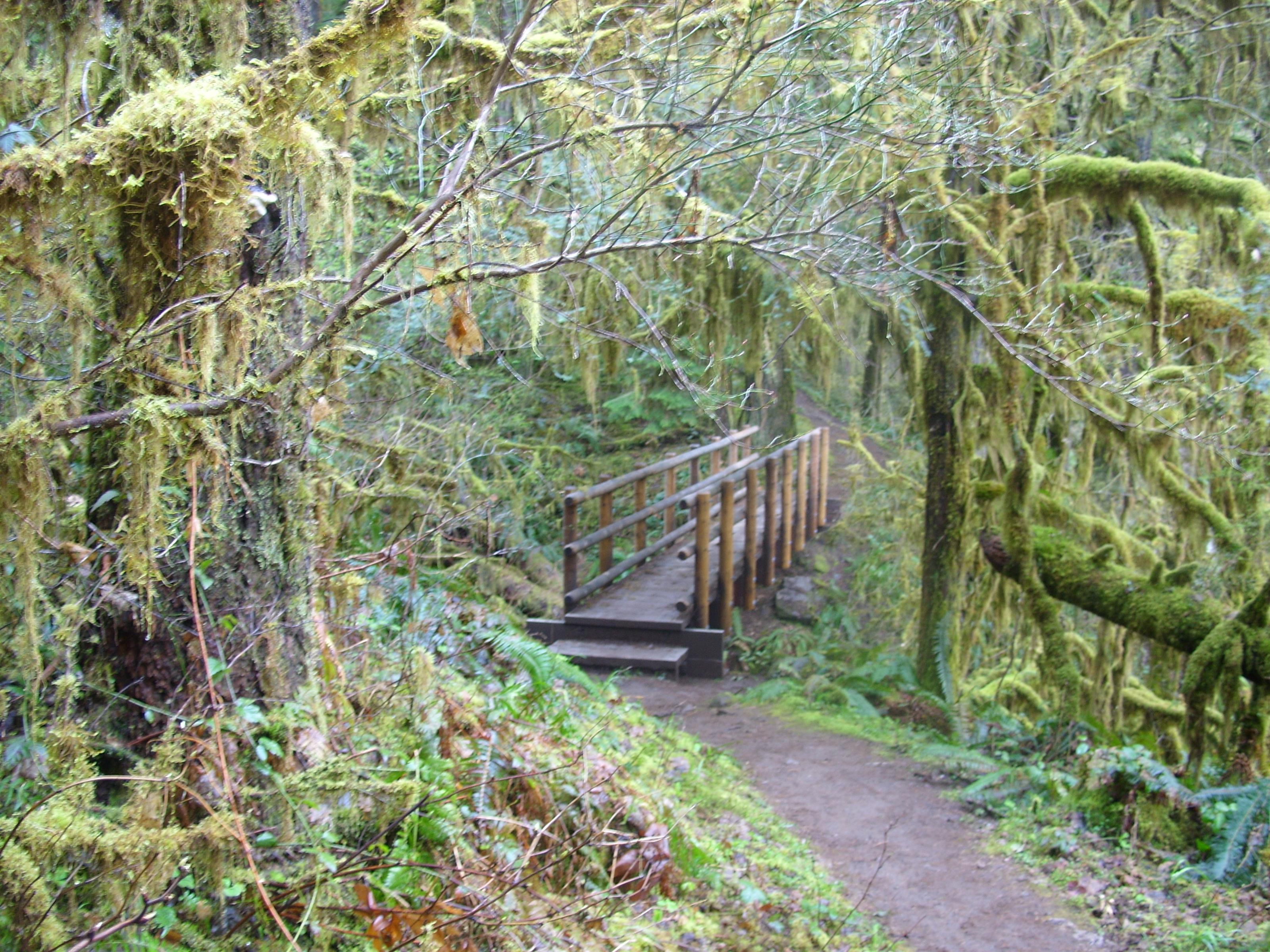
Bridge 11 – Timber Creek:
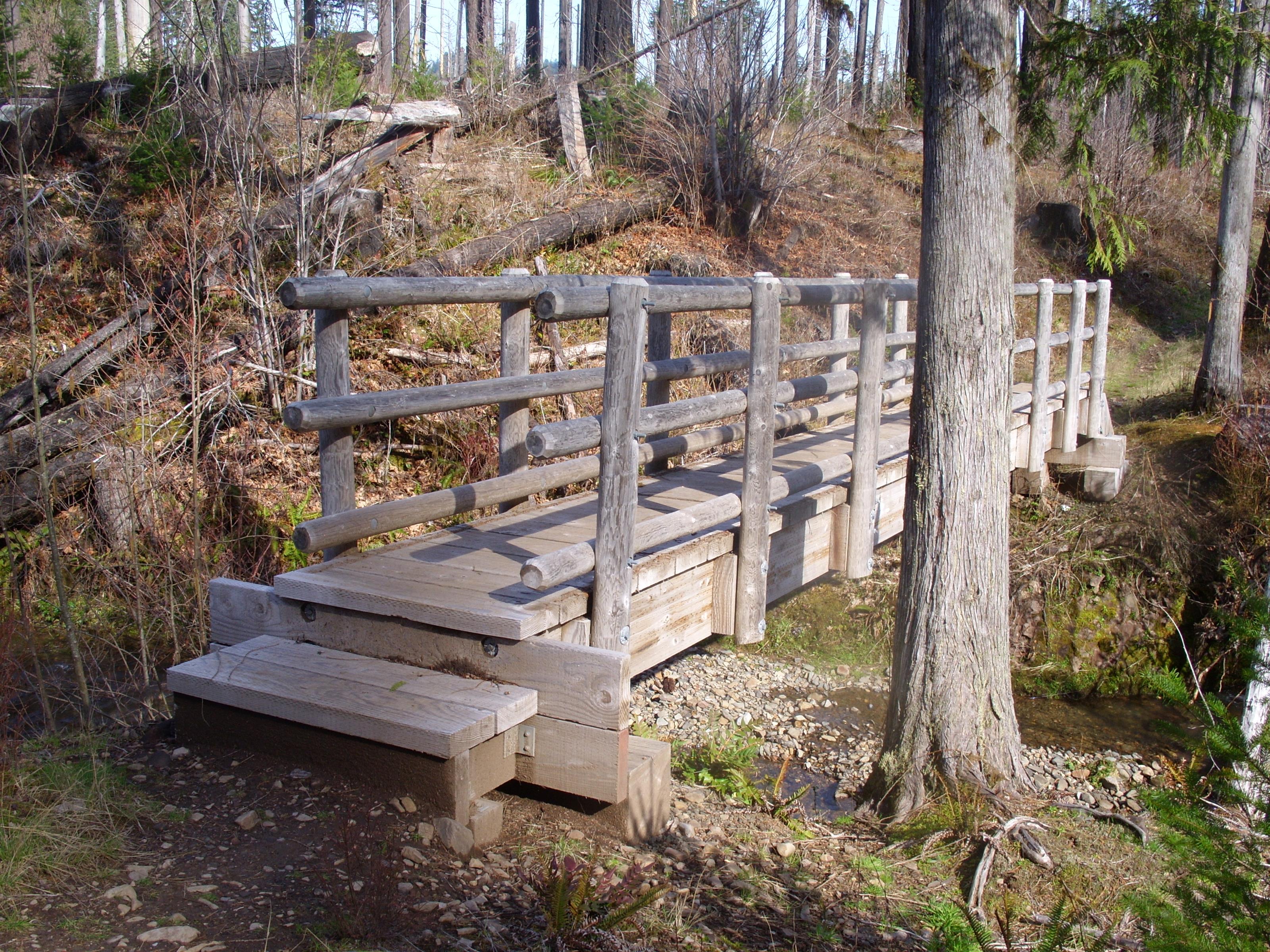
Bridge 10. We are out of the burn area and back to lush greenery:
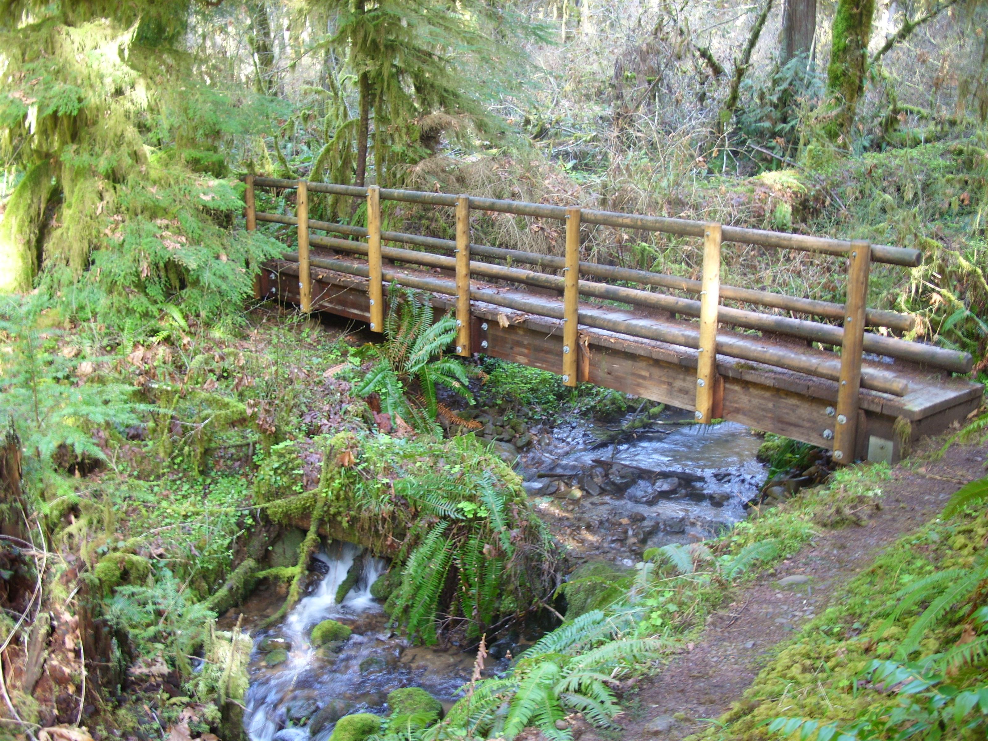
Bridge 9:

Bridge 8:
Bridge 7:
Bridge 6:
Bridge 5. Just a log:
Bridge 4. This rail-less bridge is just a foot above a significant amount of water flowing over a fairly smooth rock bed:
Bridge 3. One segment of railing is missing, and one tread board has broken through:
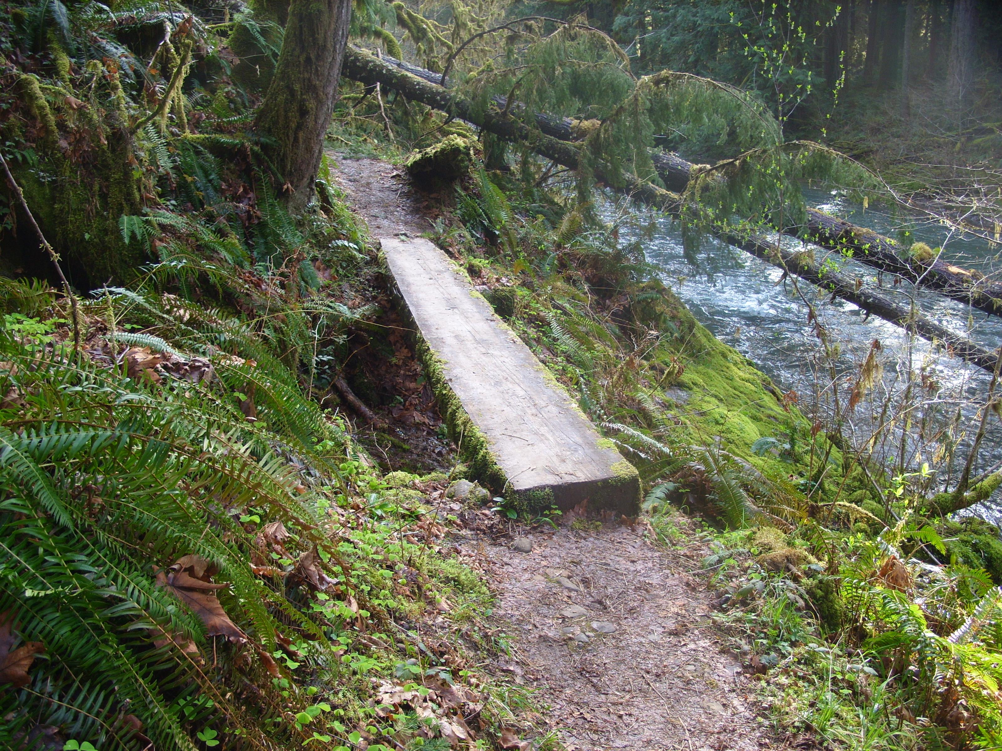
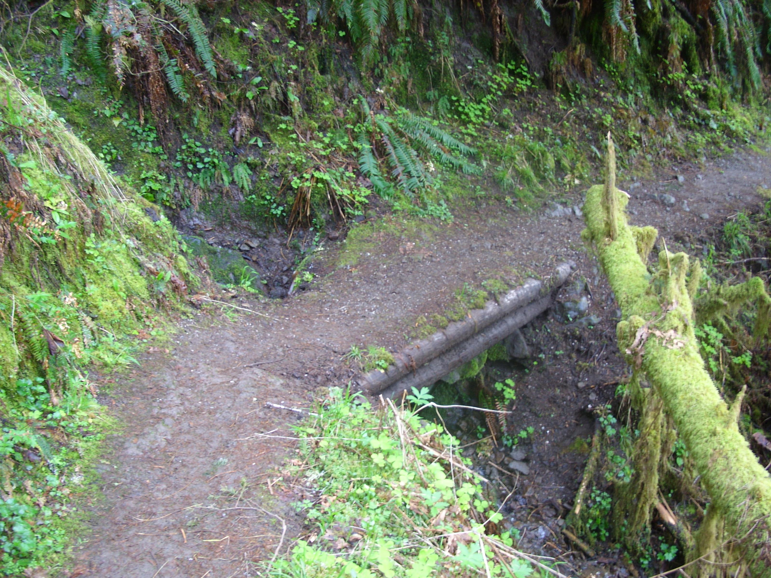
Bridge 2. It’s barely more than a culvert, but it is a bridge:
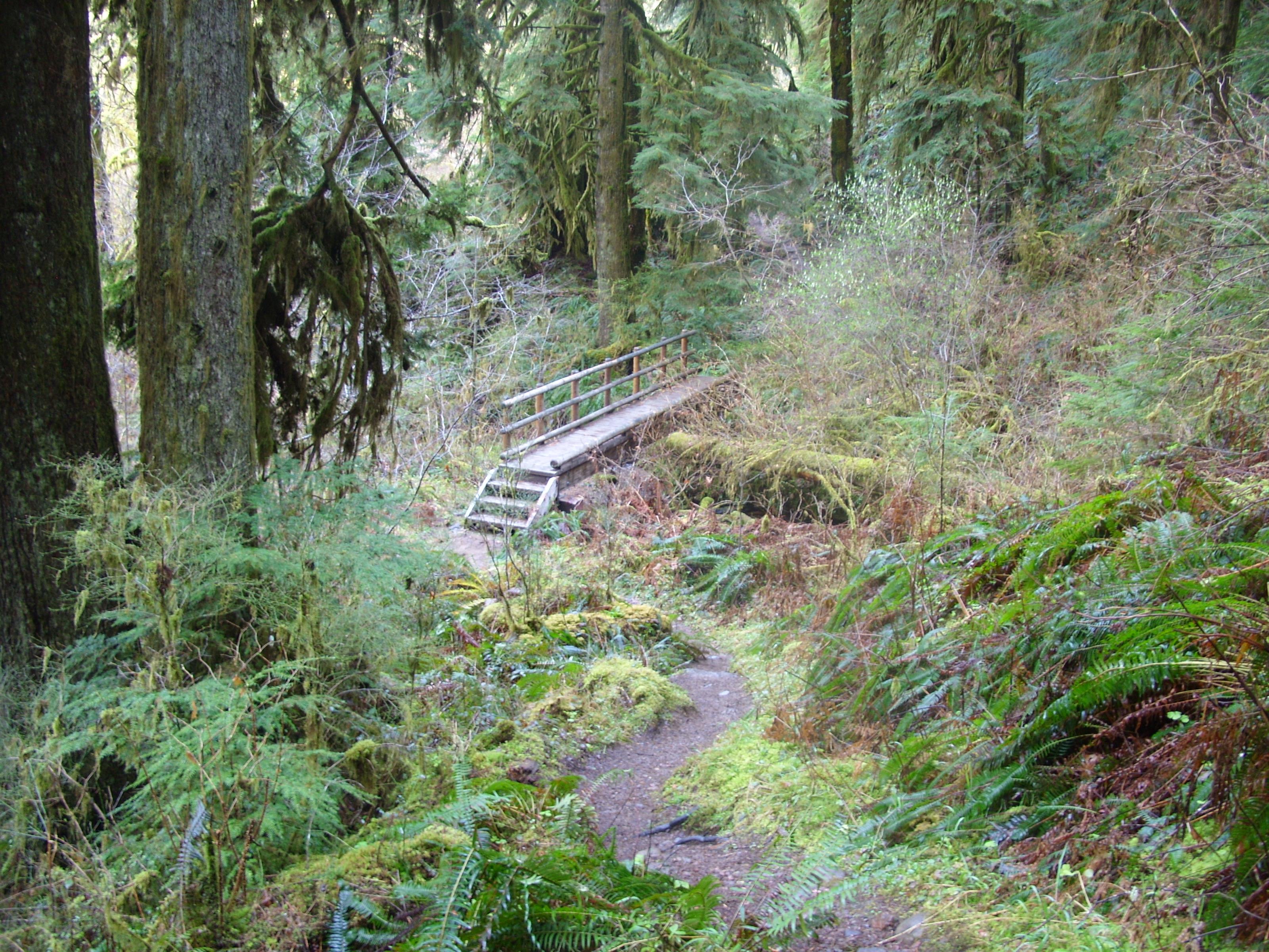
Bridge 1:
With that, I was back at the trailhead. It was a long day at about 9.4 hours. My legs and feet were sore, but I wore a great big grin. The day was a huge success. I am closer to being able to pull a 20-mile day.
You can download the KMZ file of my track, along with a bunch of placemarkers. Load it up in Google Earth for a great overview of my path. Note that the first 20 minutes or so is missing – I forgot to start the recording of the track when I began hiking. Oops.
The aftermath was not nearly so bad as I expected. I probably hurt less than I did after nearly any of the hikes already documented here at HikeInTheWild. That’s progress. My shoe issues should be sorted soon, my feet and legs are clearly getting stronger and more resilient, and my gear is working well. I expect I’ll be heading out again the weekend of April 5th maybe, depending on what else is going on at that time. Until then…
Looks like a cool time Tim!! I enjoy living vicariously thru your adventures!