On Sunday, June 29th, my brother Jody and I went for a hike in the Diamond Peak Wilderness. Now that we are seeing summer weather, the snow is finally clearing off the trails at higher elevations. Right now, anything over 5700′ ASL still has significant snow, in some places making trails difficult to follow. However, at Willamette Pass the elevation is just about 5100′ and most of the snow is now gone. This allows us to get on the Pacific Crest Trail (PCT) again. Since we will be hiking the section north of Willamette Pass a month from now, we hiked south this time into the Diamond Peak Wilderness. Like most of these hikes, we simply headed out and kept going until half the day was gone. Then we turned around and headed back.
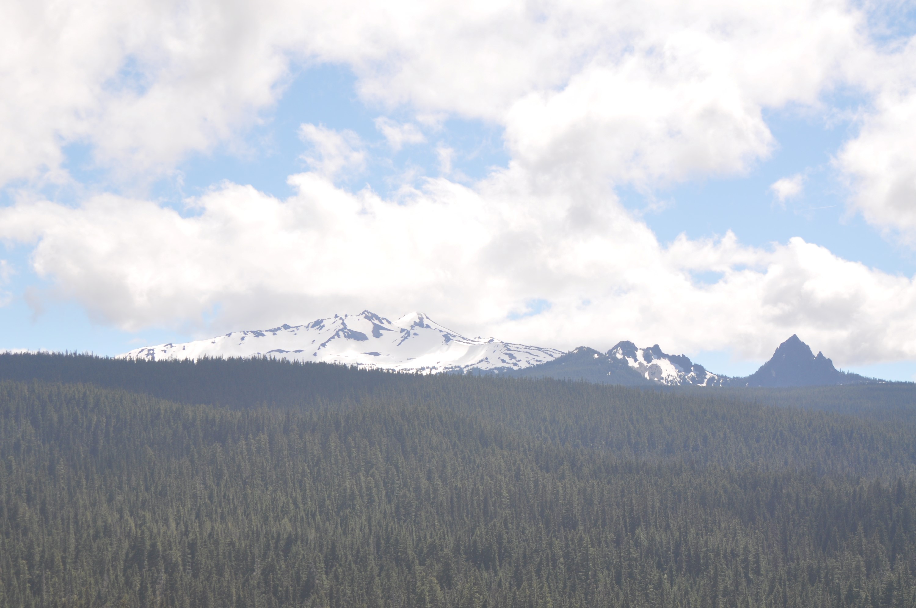
On the way up to the pass, we got a great view of Diamond Peak from about 7½ miles away. It dominates the area:
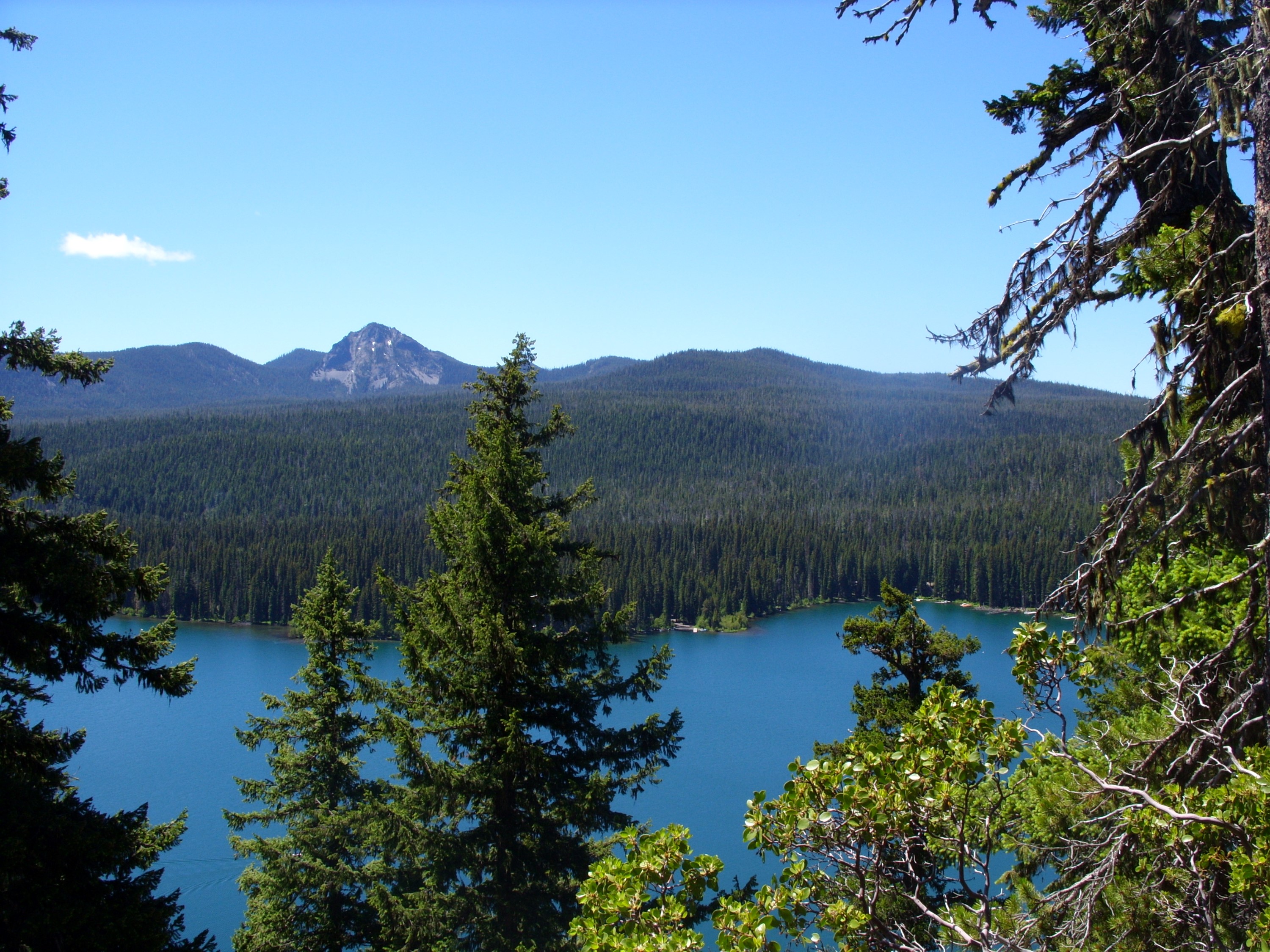
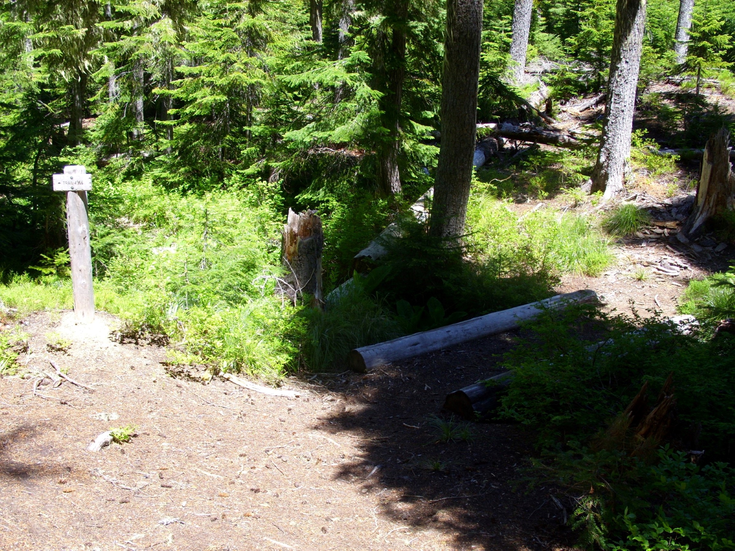
We parked at the PCT trailhead at the pass and crossed the highway, headed into the woods. Just south of the highway here is large Odell Lake. It’s a popular resort lake, but we skirted the west end, which is all wilderness. After a short walk we found ourselves at a great overlook called Eagle Rock:
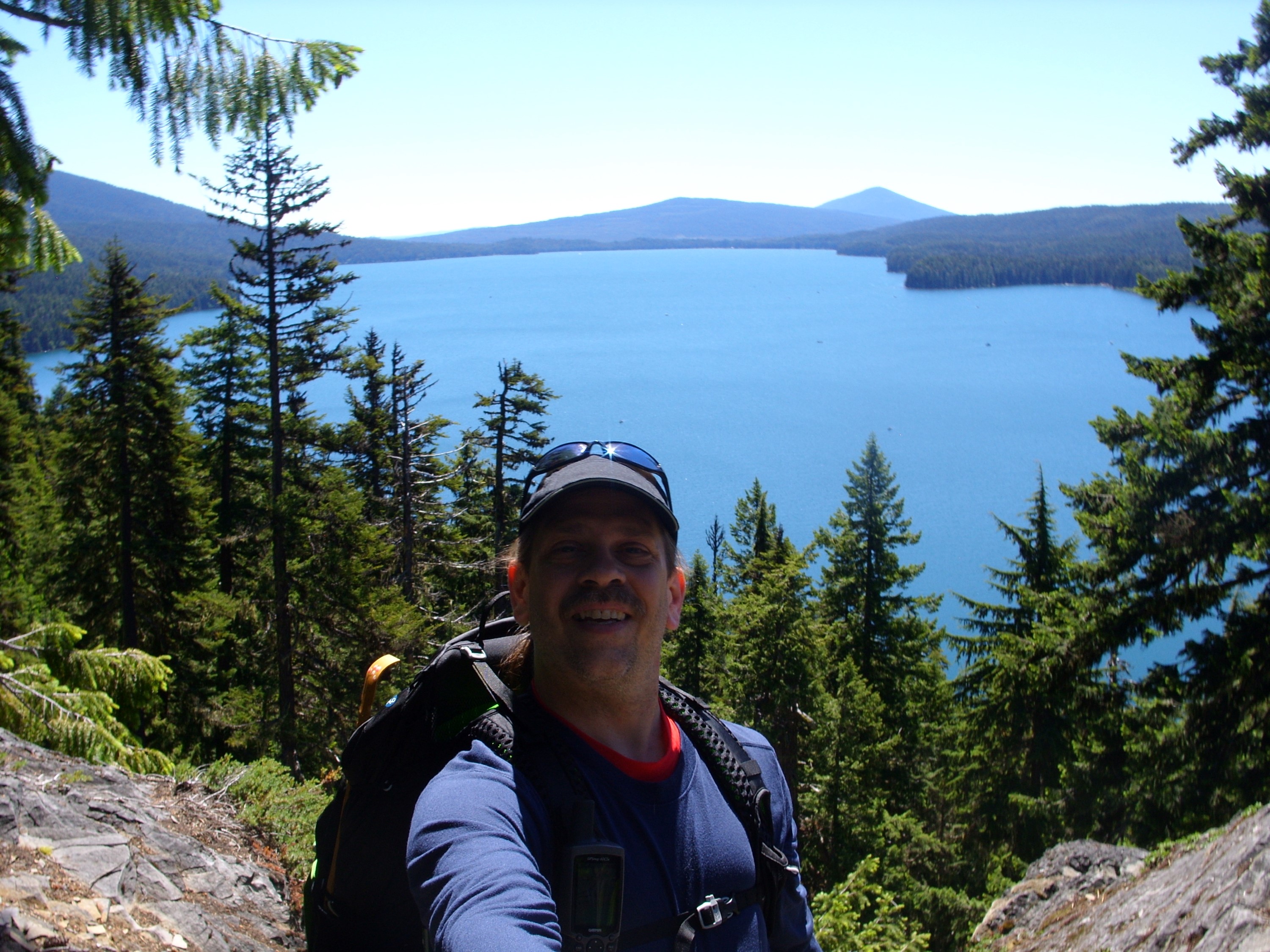
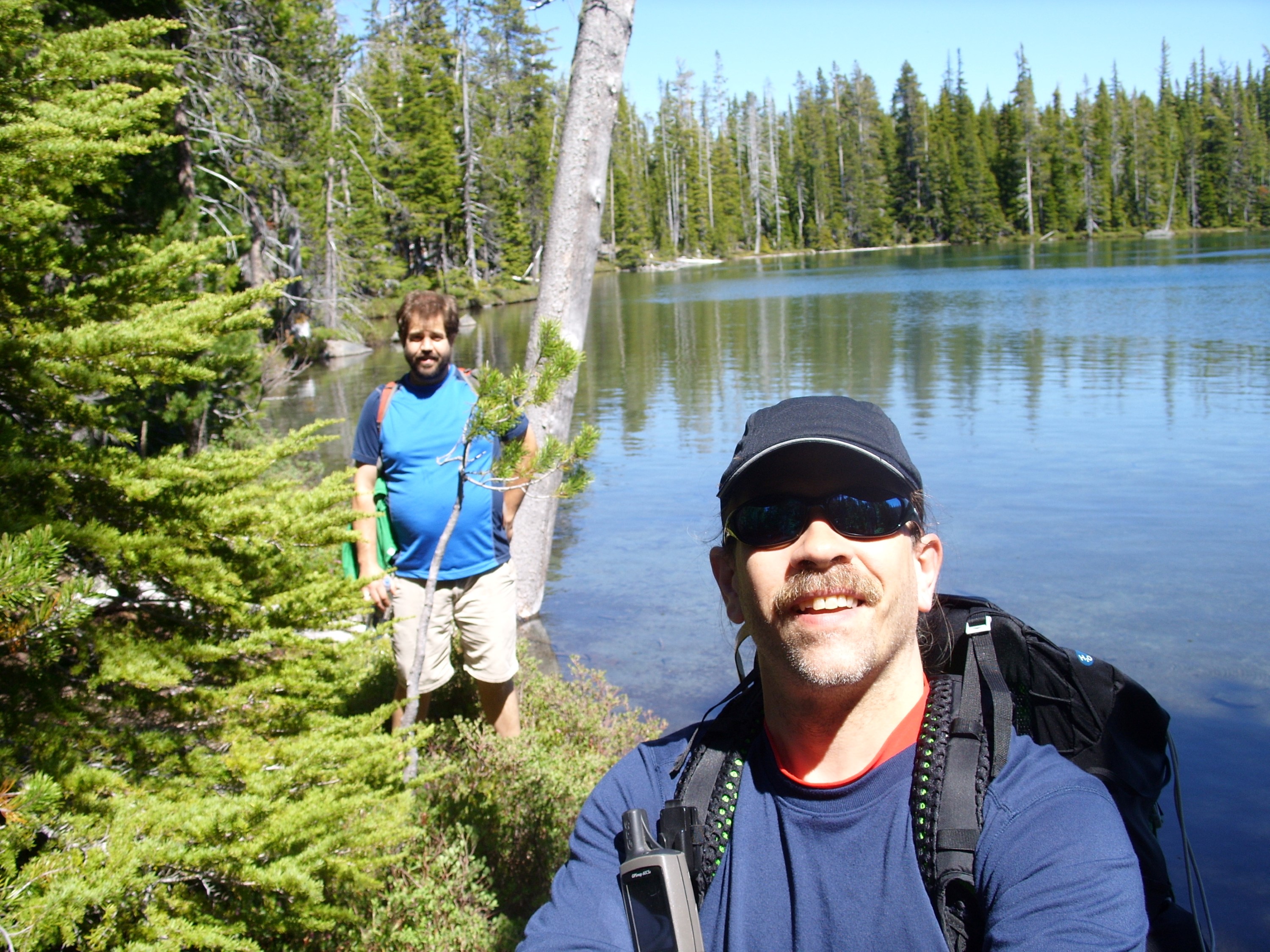
This next image was taken with my new StikPic, which is a small mount that allows me to attach my camera to the end of a trekking pole. I’m still working out how to get good pictures with it, but it is a great way to get a better quality, wider view version of a ‘selfie’. I used it a few times on this trip:
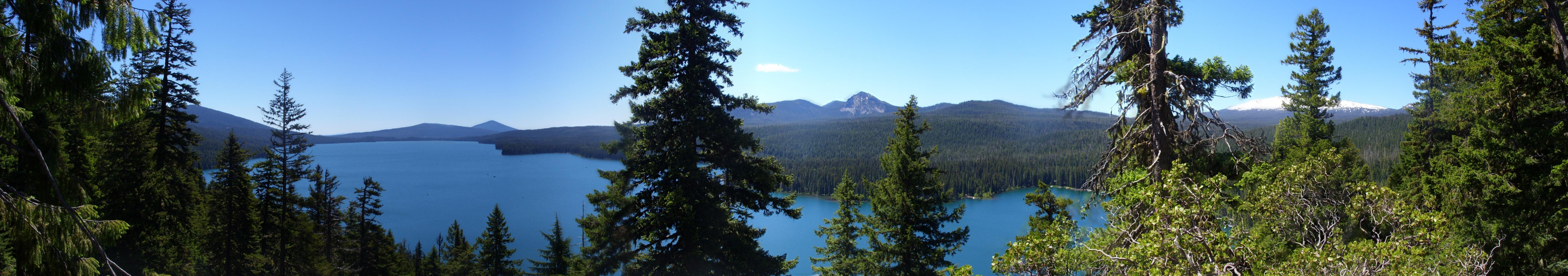
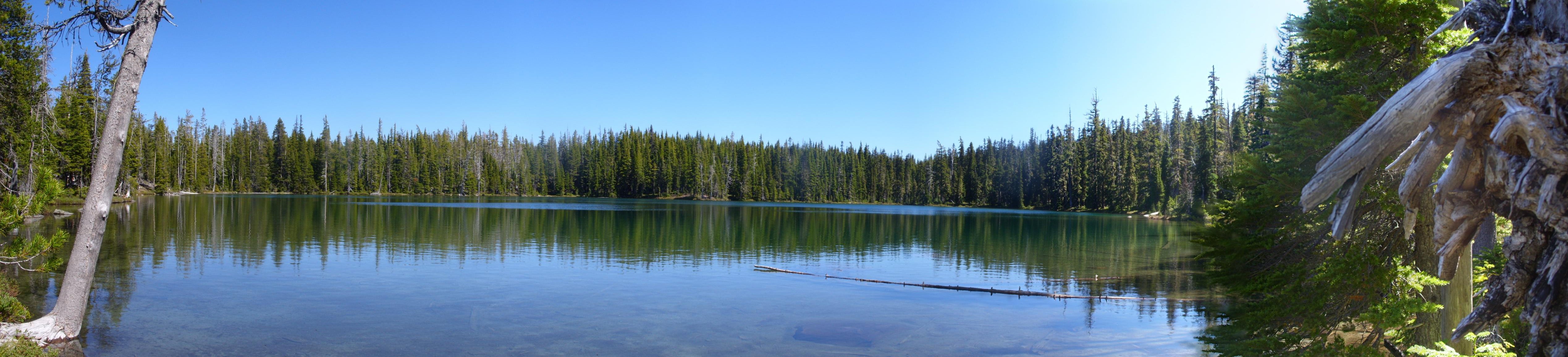
This panorama is a 120° view from that same point. Be sure and click on it to get a larger version. If you use Firefox, right-click on that larger image and select View Image to see it really large:
I used the SticPic to take a video. Again, I’m still getting used to using it, but this gives a good idea of the layout of things from Eagle Rock:
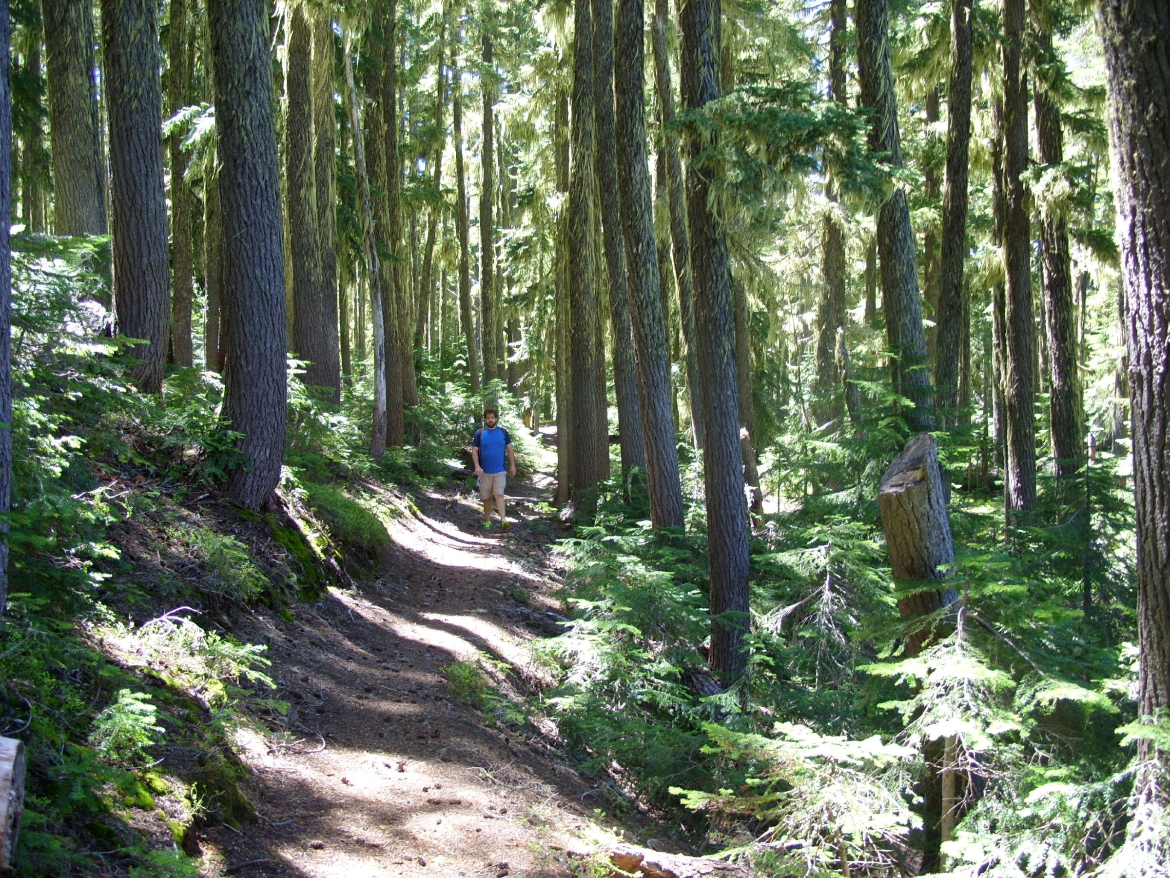
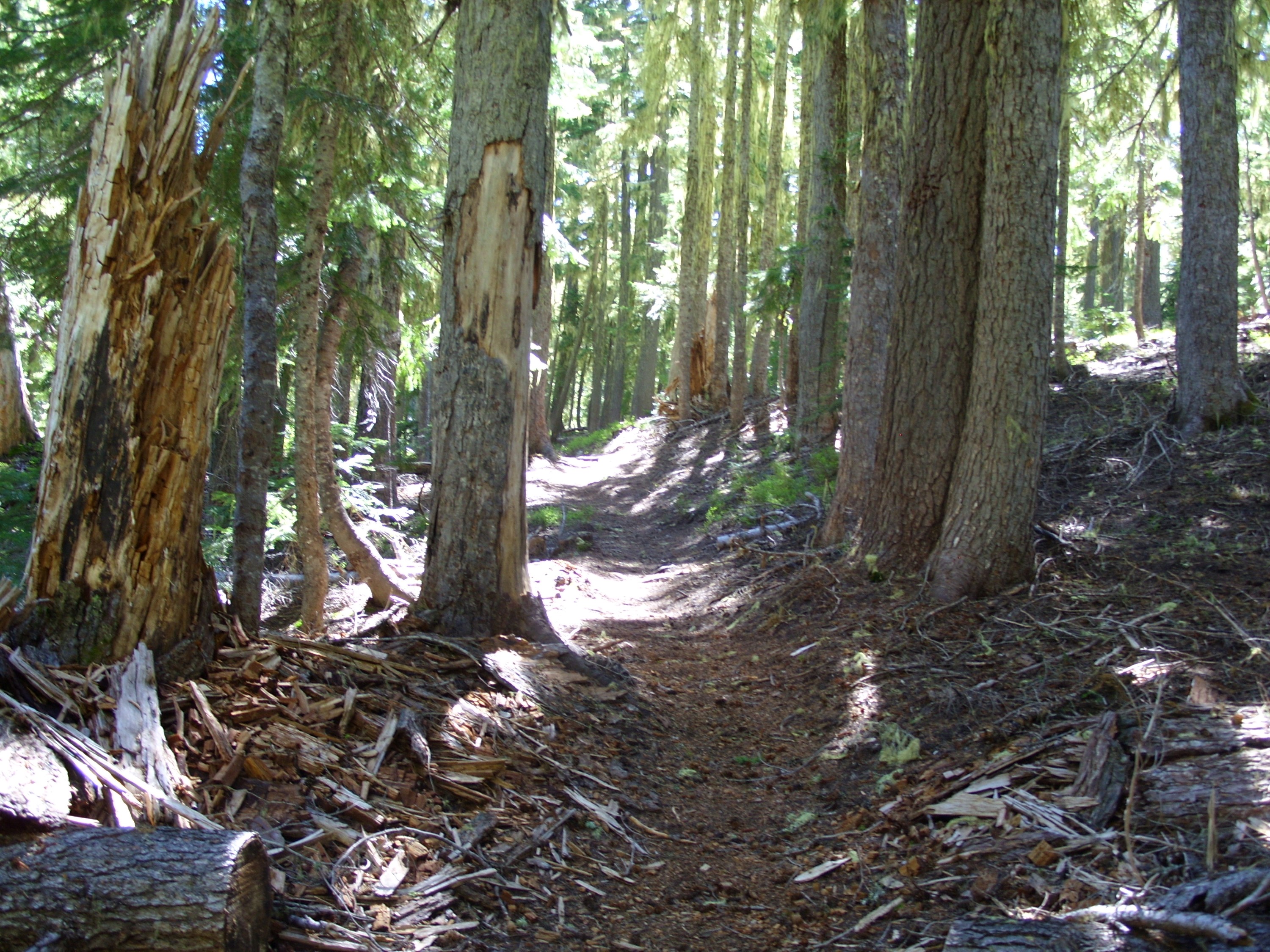
The trees in this area are a mix of pine, fir and hemlock. Due to the elevation and the yearly blanket of snow the trees are smaller and shorter here than the oldgrowth in my pictures from other recent hikes:
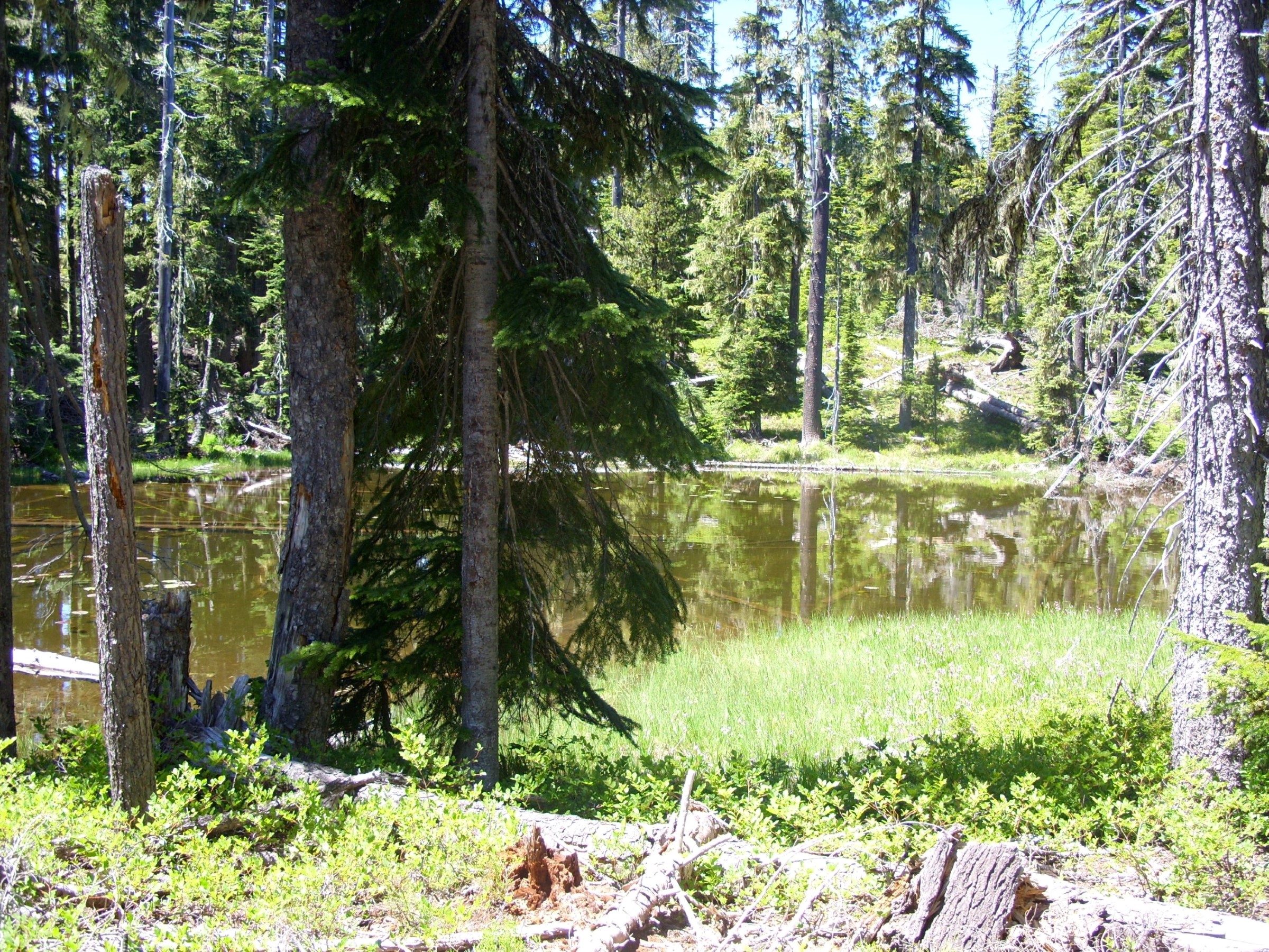
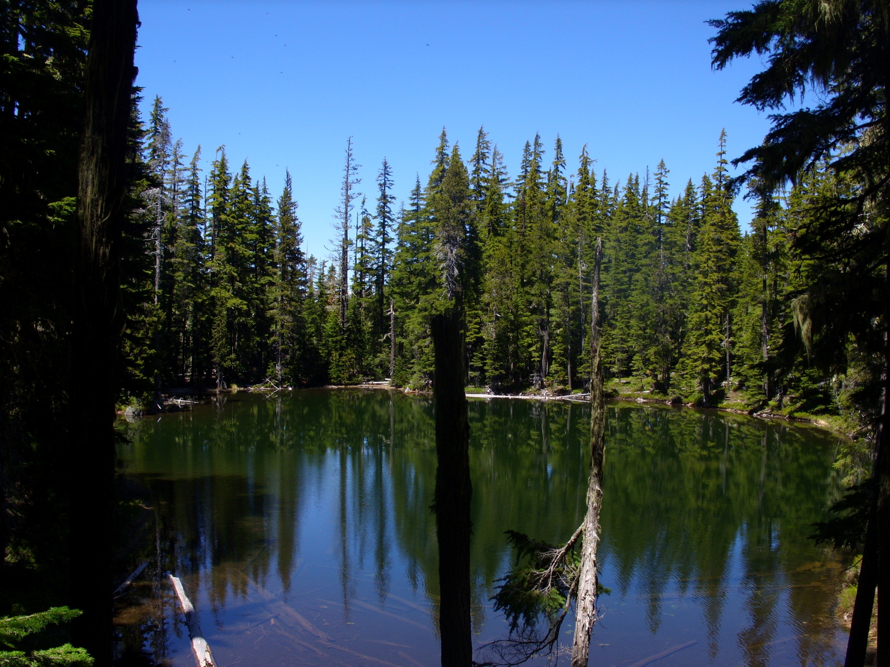
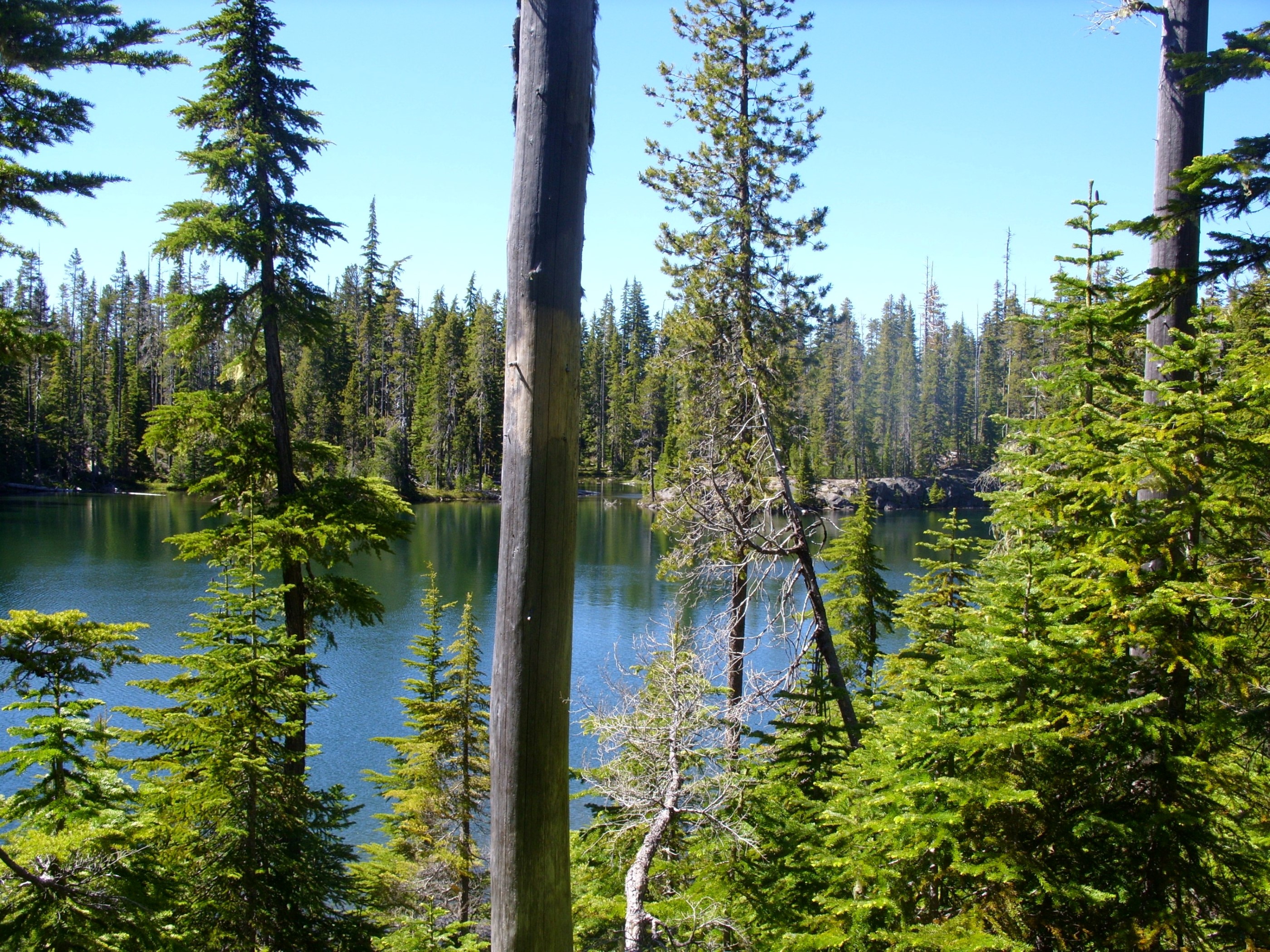
As a result, the forest floor has fewer large logs, little to no moss, and is quite open. The entire area was scoured by glaciers in the past, so there are little lakes and ponds everywhere around here:
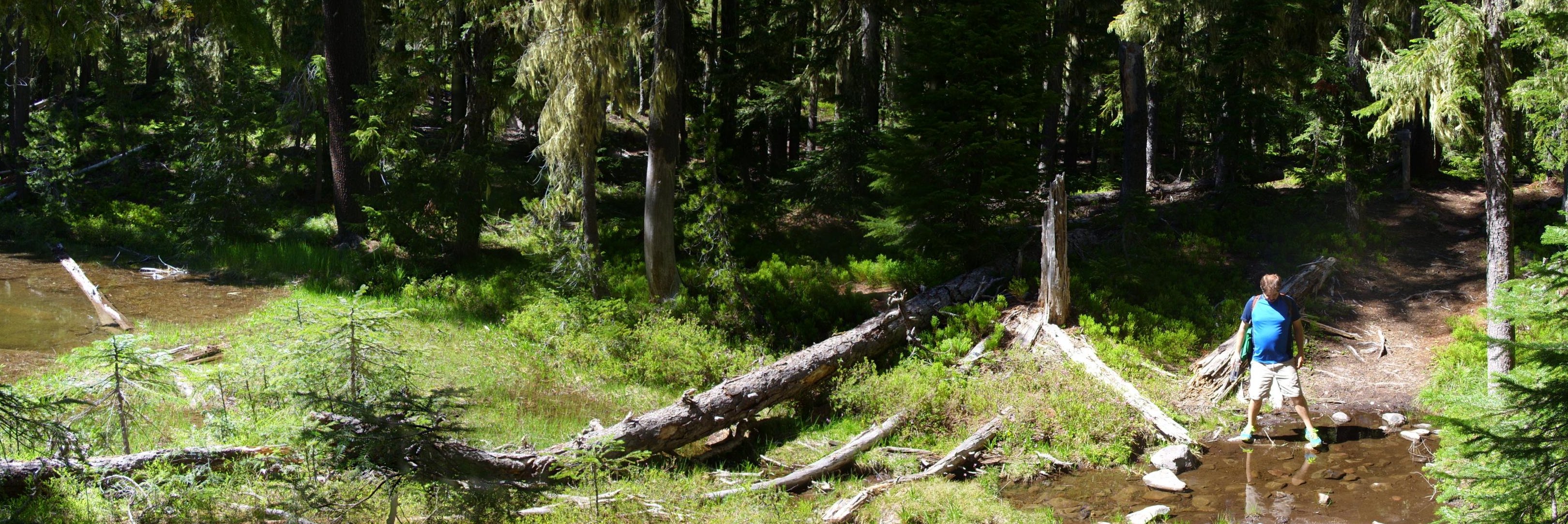
There are also many little snow-fed creeks:
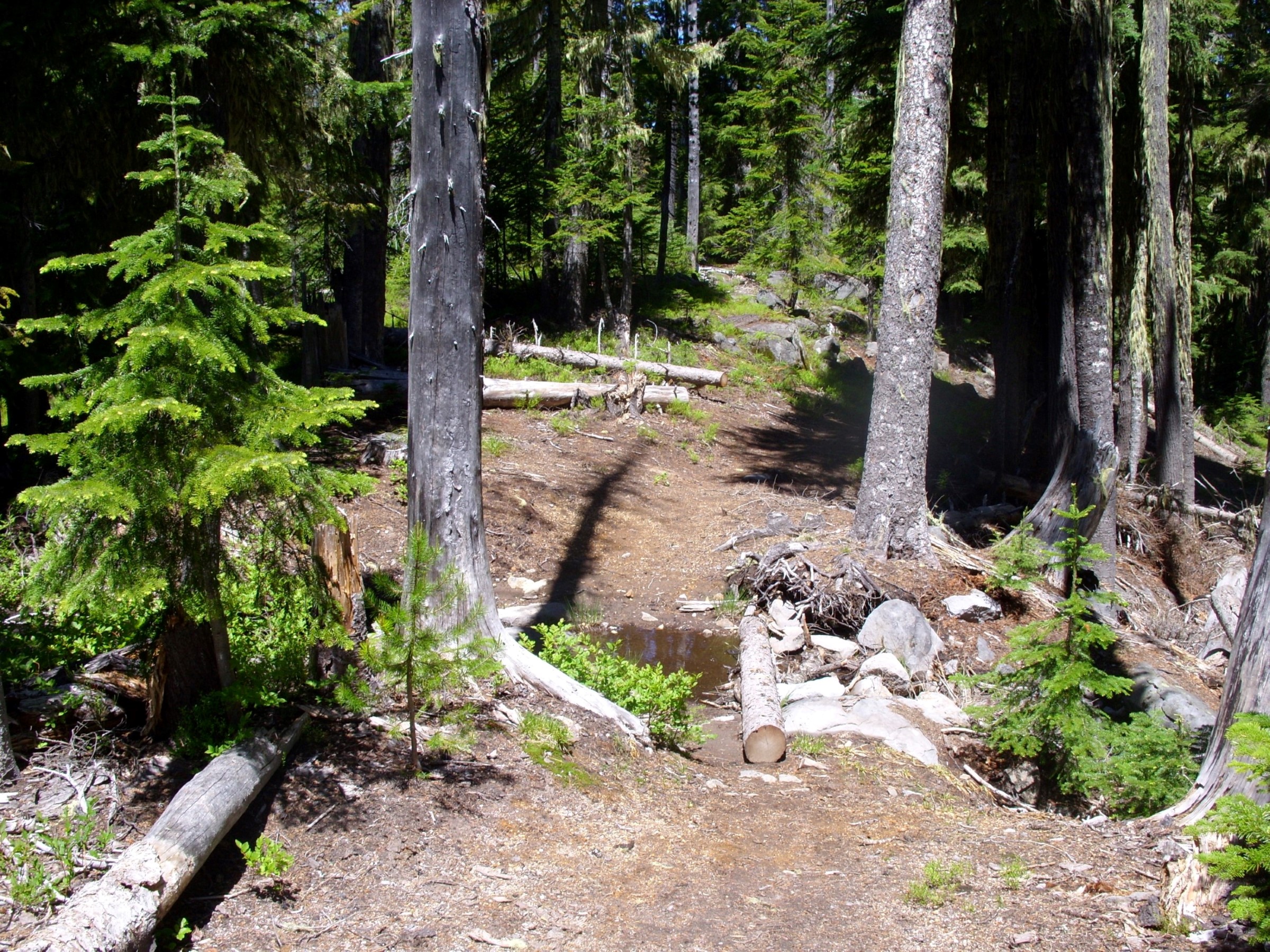
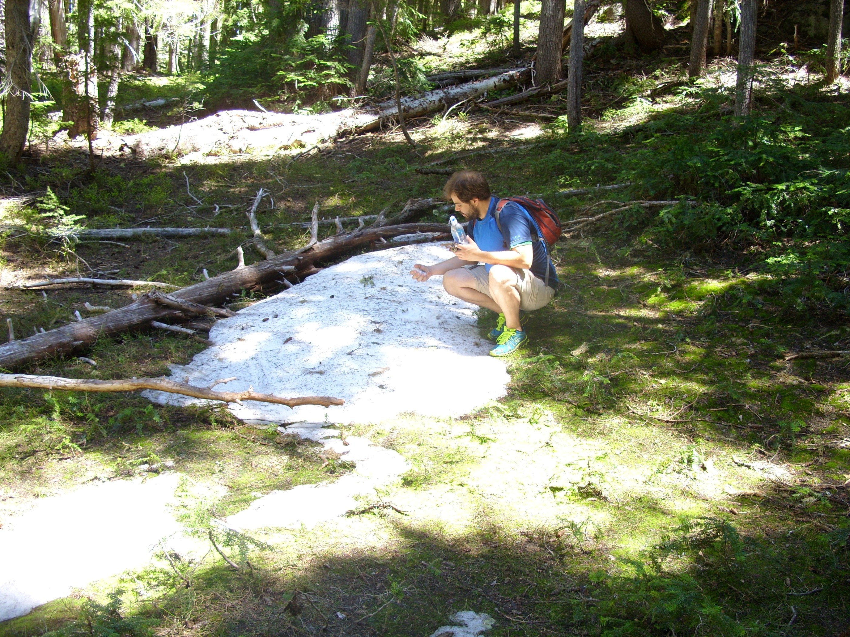
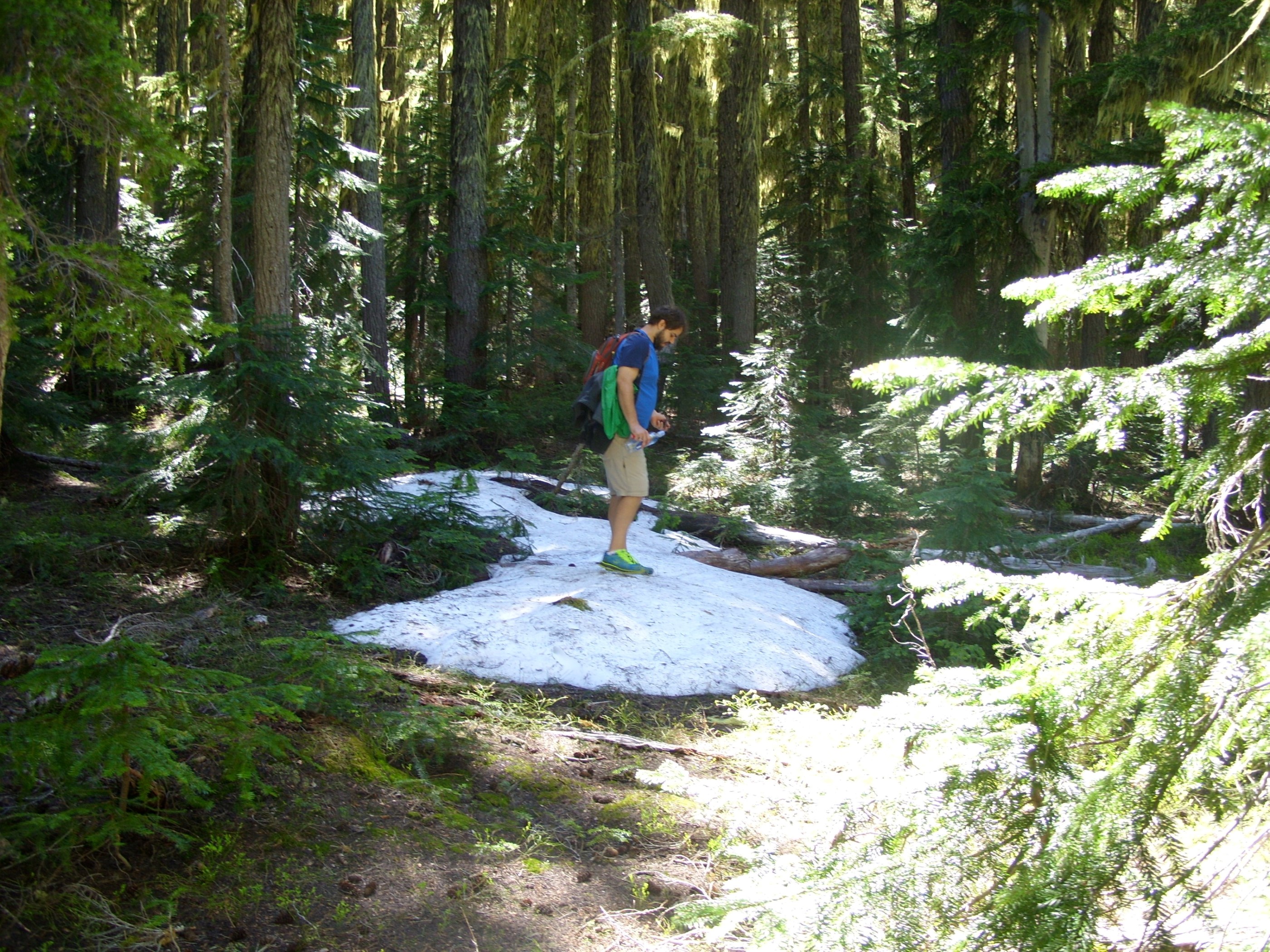
The hike was a slow climb from 5100′ to about 5840′. When we got up to about 5400 feet we started seeing patches of snow in the (mostly) shaded hollows:
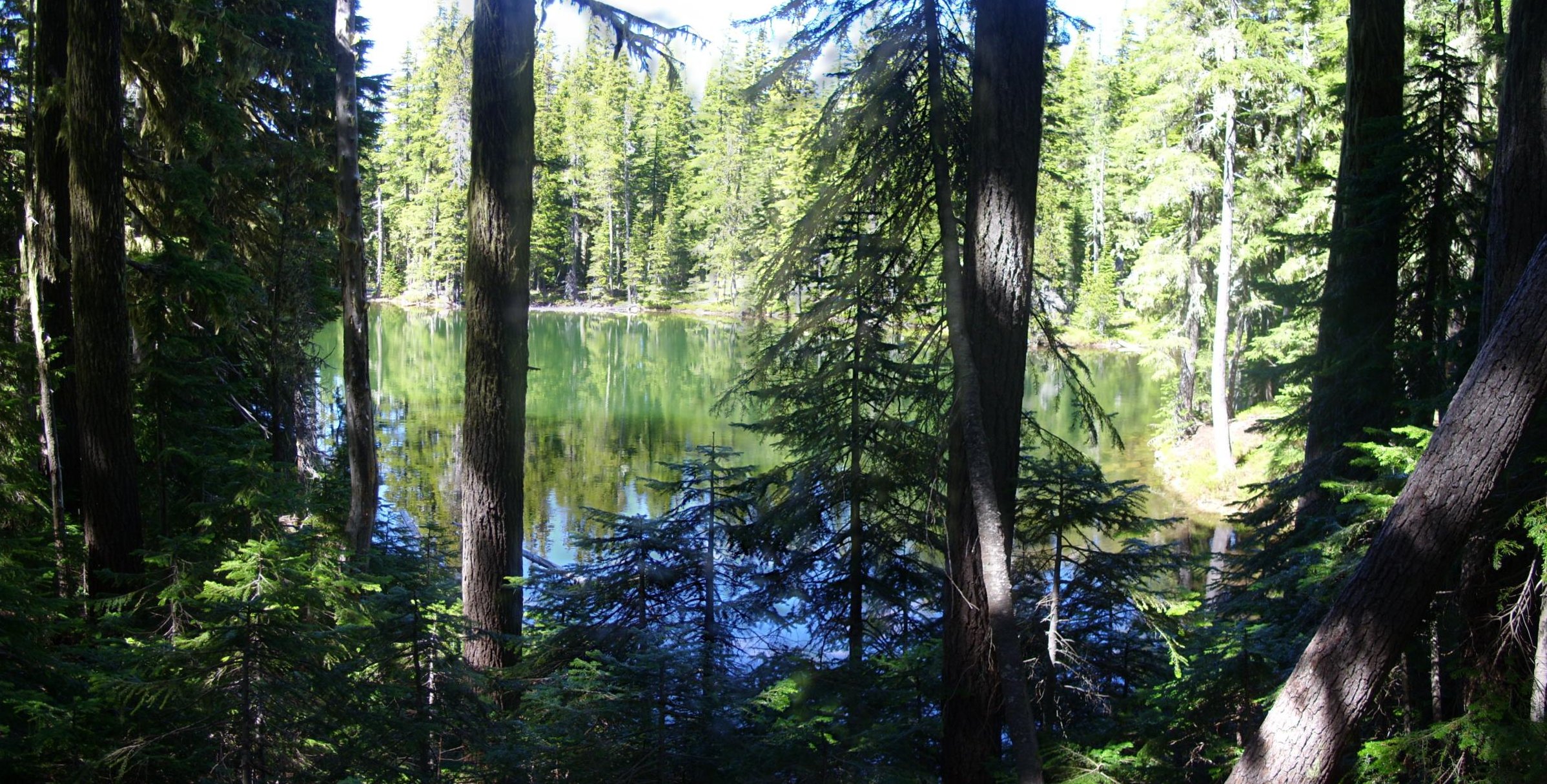
This is Arrowhead Lake:
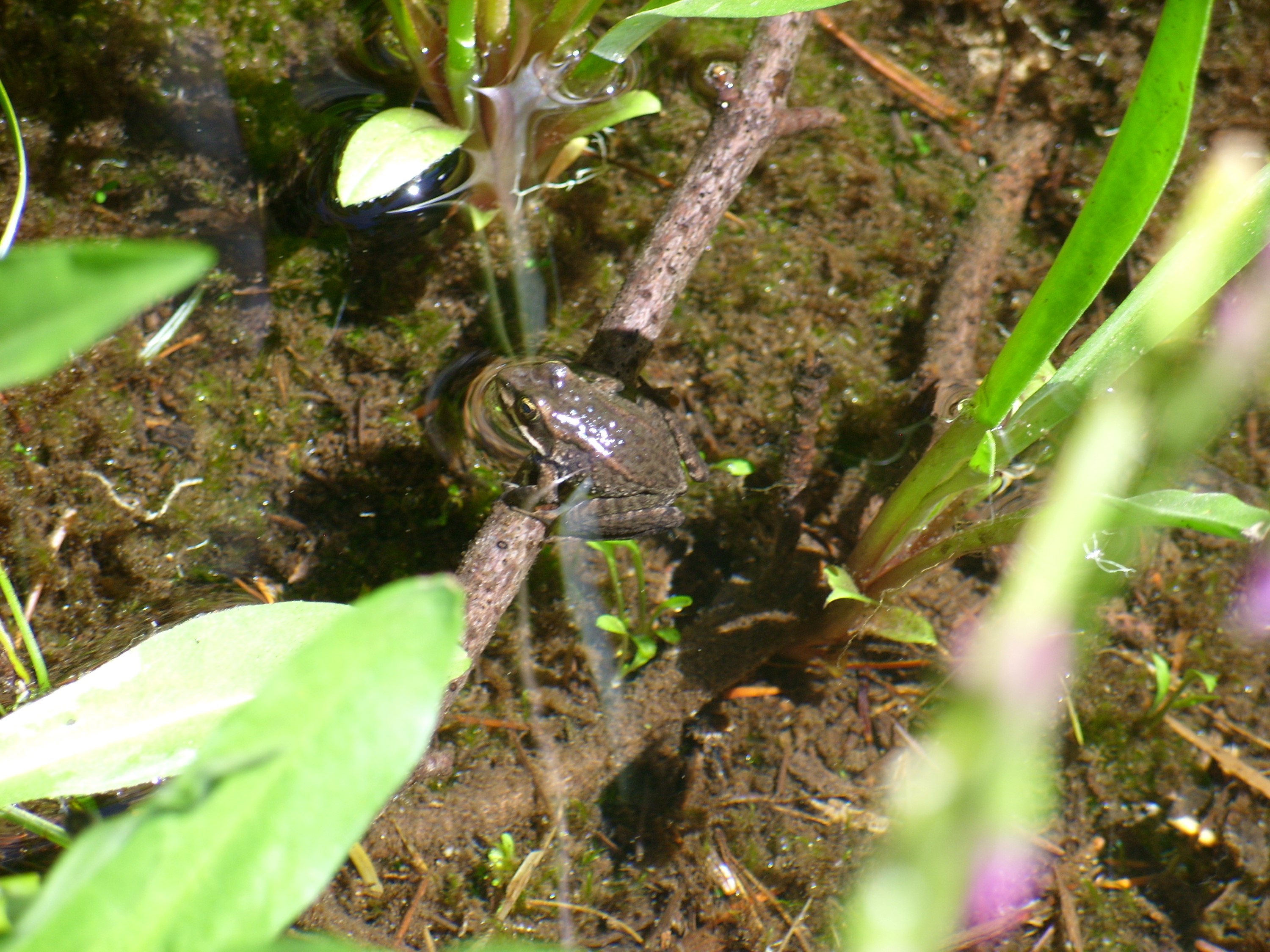
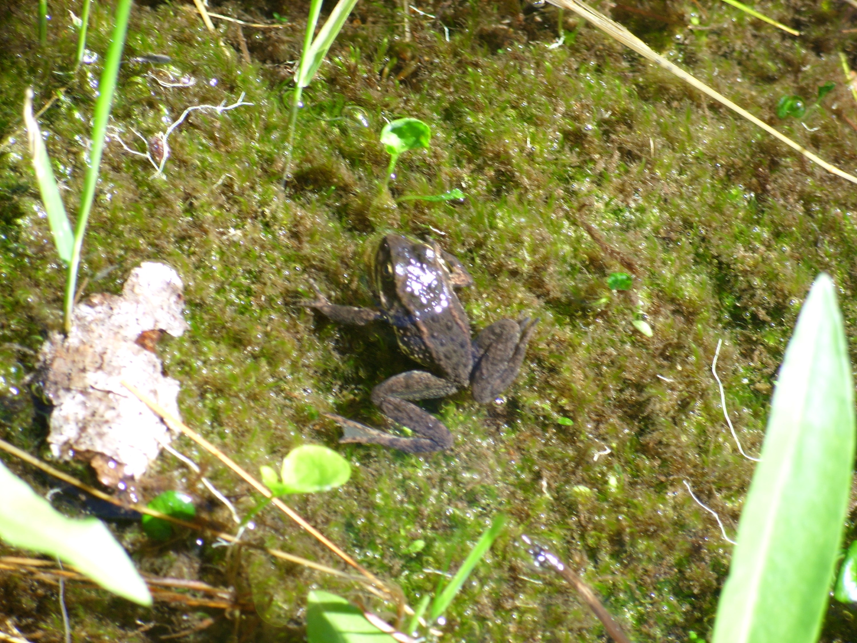
We didn’t see much wildlife. It’s a lot less common at these higher elevations. We did find a couple frogs, chillaxin’ in a slow moving stream:
When we got to Hidden Lake it was just past the middle of the day, so we hung out there for a little while, then we headed back down the hill:

In total, we covered 12.28 miles, It was a good day, and we had fun. It was nice to get out into real wilderness again. Open this KMZ file in Google Earth to see our path.
This was our last training hike before the 75-miler. The next 4 weeks we will be finalizing our gear and food, but I hope to post more informational posts before we go.
Bonus pictures on the next page…
Great keep it coming
Thank you. Will do.
This is so exciting, after all this effort and planning to be almost ready to go! Will you be able to send dispatches from the “front”? I’ll stay tuned in any case and see what comes in. This is a wonderful adventure you’ve set yourself, and I wish you good luck, safe trekking, and lots of fun and wonderful pictures. Love, Faith
Thank you. I would love to update on the trail, but that would require a smart phone and I have a flip phone. I promise to update as soon as we get back.
I like the stikpik, cuz I get to see you two in the picture as well. Great idea! What a big time you will have. You have been planning this for so long and it’s finally almost here. Stay healthy and happy trails!
Love, Mom
Thank you. We’re pretty stoked. But I don’t intend to stop after the 75 -miler. I have to stay in shape for another 20 years so I can thru-hike the PCT from Mexico to Canada. Not going to do that just sitting around. The pace of updates may slow a bit, but I intend to keep adding to HikeInTheWild.com for as long as my knees hold up. Then I’ll get ’em replaced and get back to it. :D