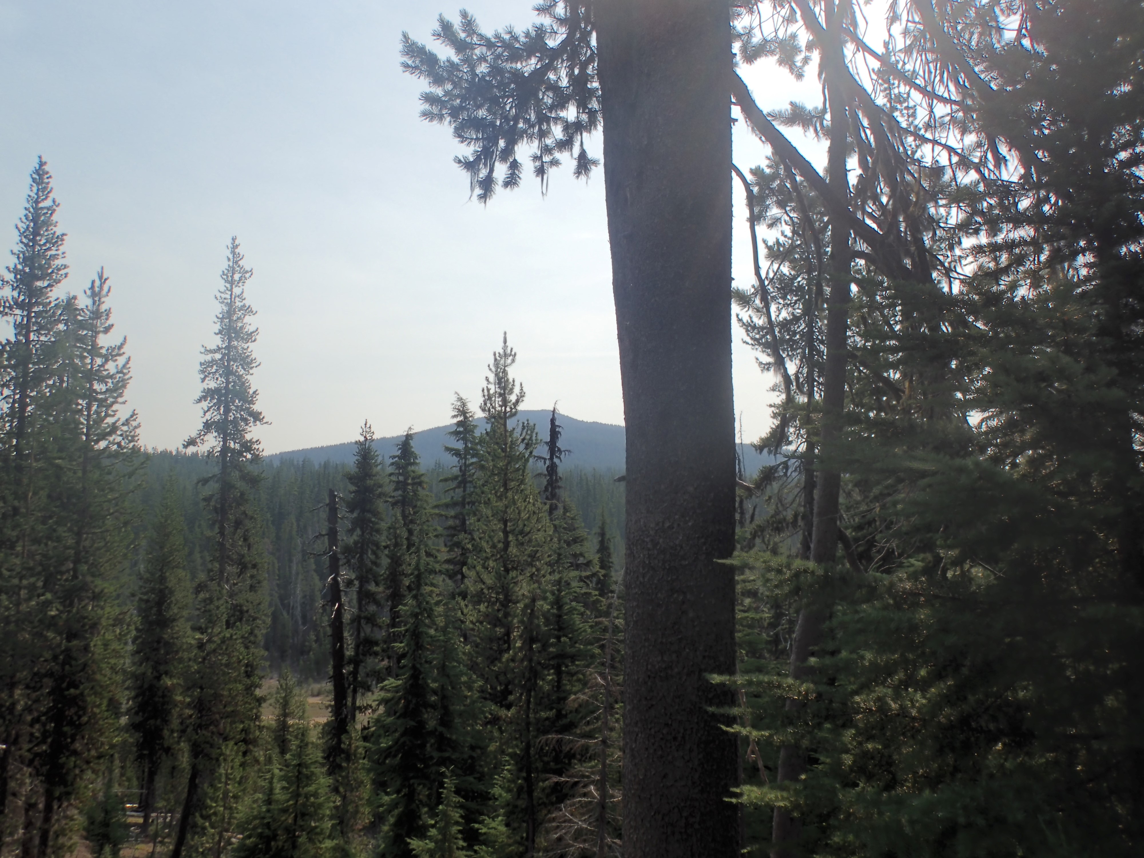
That is Maiden Peak in the distance. Technically, the ski shelter and the nearby Willamette Pass ski resort are on a shoulder of that mountain all the way over there:
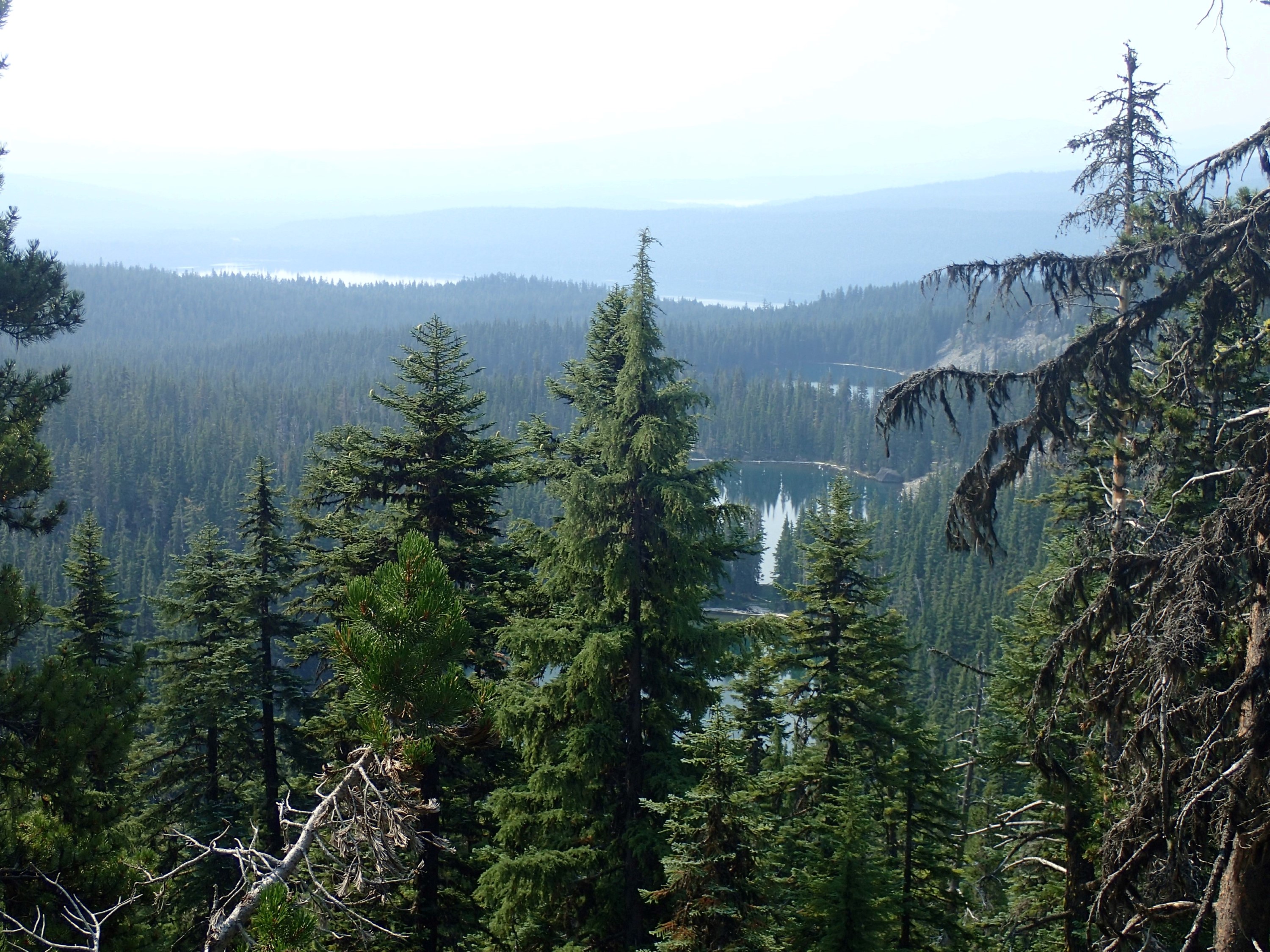
Reaching the end of the ridge I had been following, I was treated to a view. You can see the three Rosary Lakes in the foreground. Beyond that is the white horizontal stripe of Odell Lake. And just visible in the distance at the upper center you can make out the whiteness of the light reflecting off of Crescent Lake. Odell and Crescent were less white to my eyes, but cameras have trouble with the intense contrast in images like this, so they came out white. My destination is past the Rosaries, but before Odell, around to the right of the rising terrain on the right edge of the picture. I was so close:
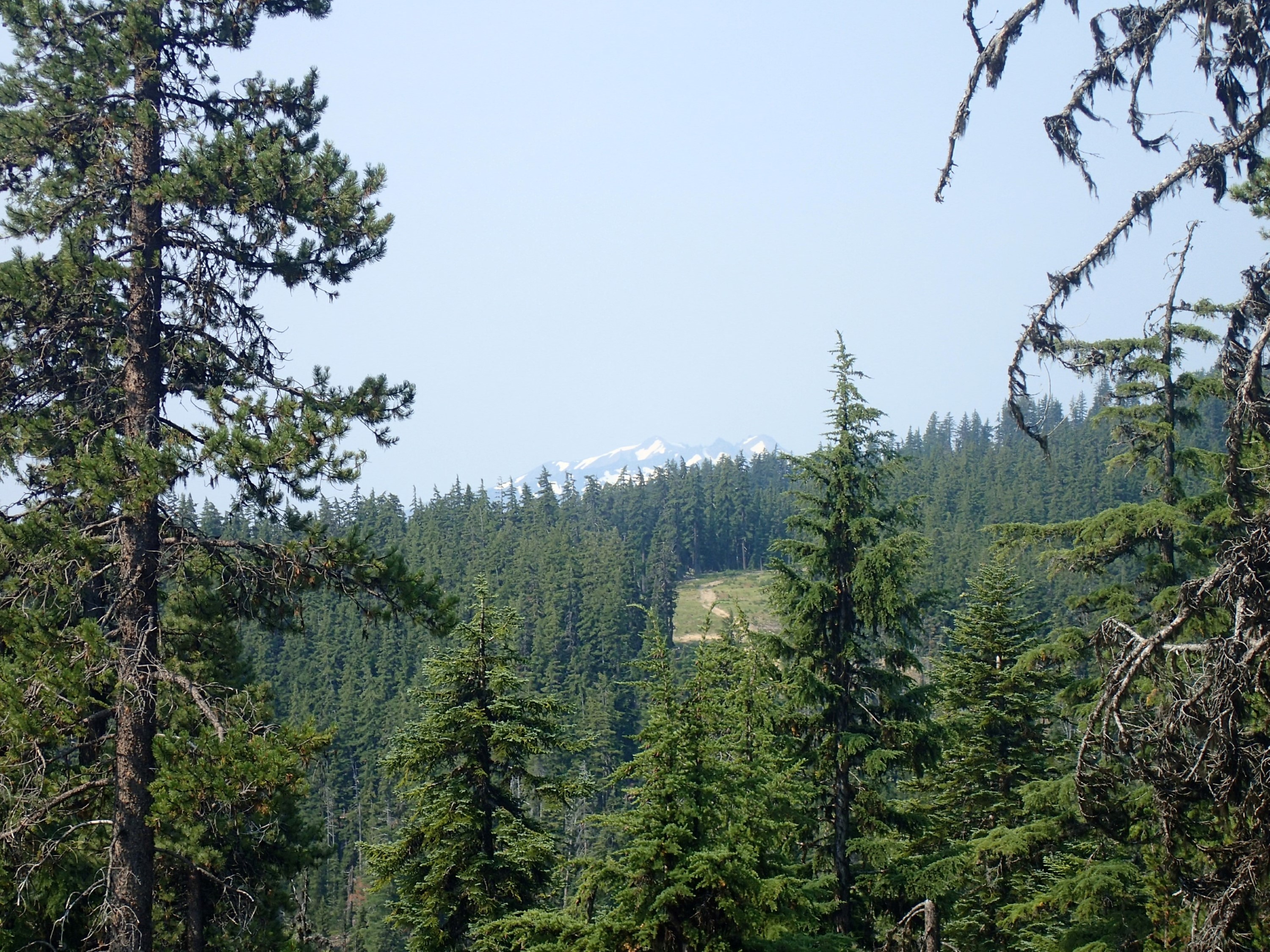
Here you can see Diamond Peak, the next big mountain in the Cascades looking south, with a bit of the ski area in the foreground:
This little guy was as brave as they get. He sat perfectly still as I walked up to about 10 feet away from him. He’s a ground squirrel. You can tell him from a chipmunk because he doesn’t have the chipmunk striping on his face. He was sitting on this log in the sun, soaking in the warmth:

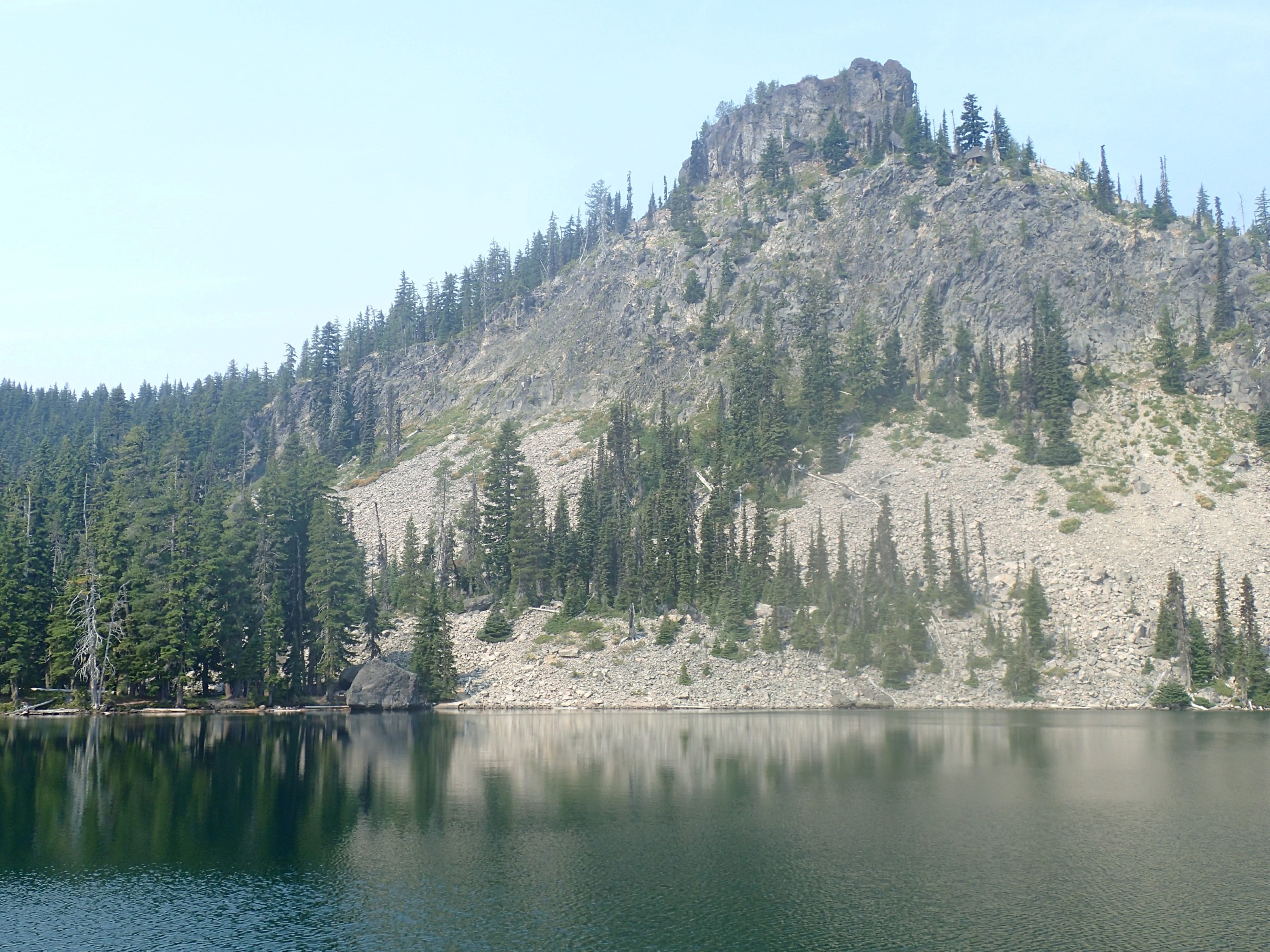
This is Middle Rosary Lake. Can you imagine what it would have been like to see that huge boulder on the opposite shore tumble down from the crumbling bluff above it?
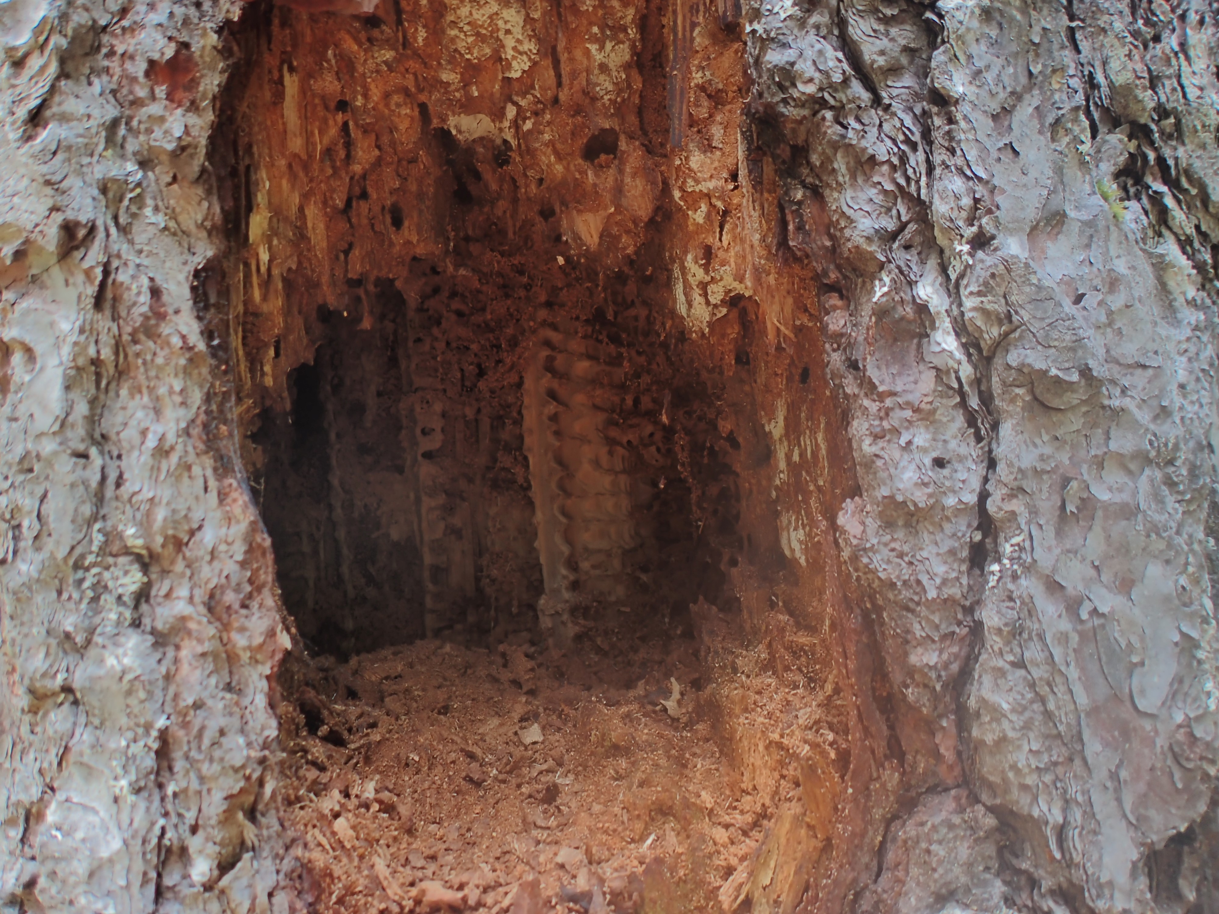
I found this tree with what I am guessing is termite damage. Whatever it was, it was devastating. The hole continues back to the left and hollows out a good portion of the trunk:
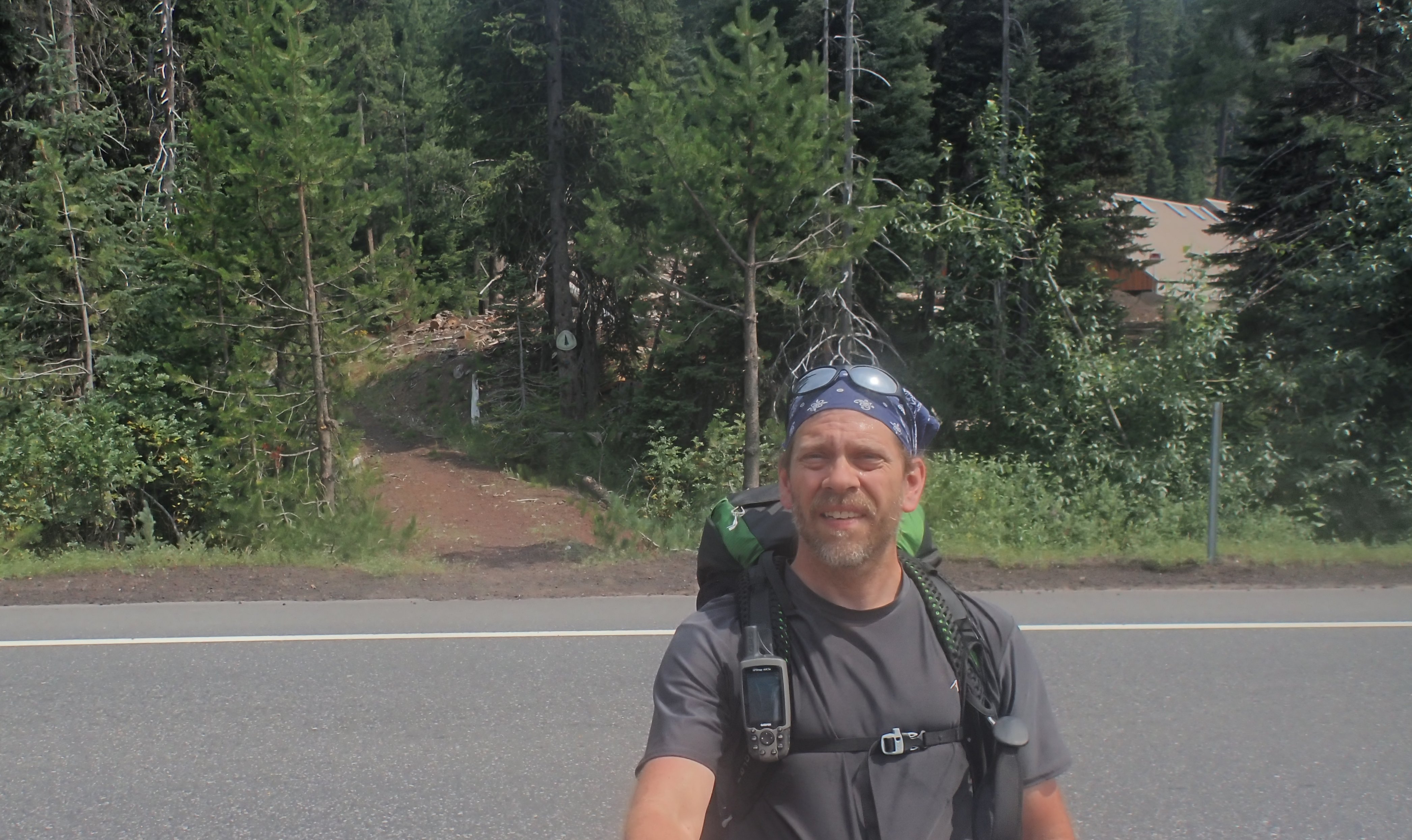
And then there it was. You can see the road. That is Hwy 58 and the end of my journey:
I decided to document my final strides, reaching the highway at about 12:30pm:
… and grabbed one last selfie from the middle of the highway:
All told, I covered 75.5 trail miles. If you add in mileage for all the side trips I took, it was more like 80.4 miles, and if you include all the restroom trips into the trees and other excuses to wander off, I covered 89.8 miles (and even more if you count the times I wandered off without the GPS). Anyway you look at it the trip was a success. Not only did I cover a lot of distance, but I saw a lot of great scenery, met a few cool people, got some great 1-on-1 time with my brother, and managed to spend 4.5 days in the wilderness alone. I also lost 8 pounds, despite eating close to 4,000 calories a day, and learned a lot about my equipment.
What a great trip!
I’m already planning the next one. In the meantime, stick around – there are lots of shorter trips coming up.
Here is my KMZ file with my route for the day and all the picture locations. Please feel free to download the file and view it in Google Earth.
Hey, thanks for taking us along! It was a great trip alright. Congratulations on a trek well done! Hope I am able to cover some good ground when we get moved up there.