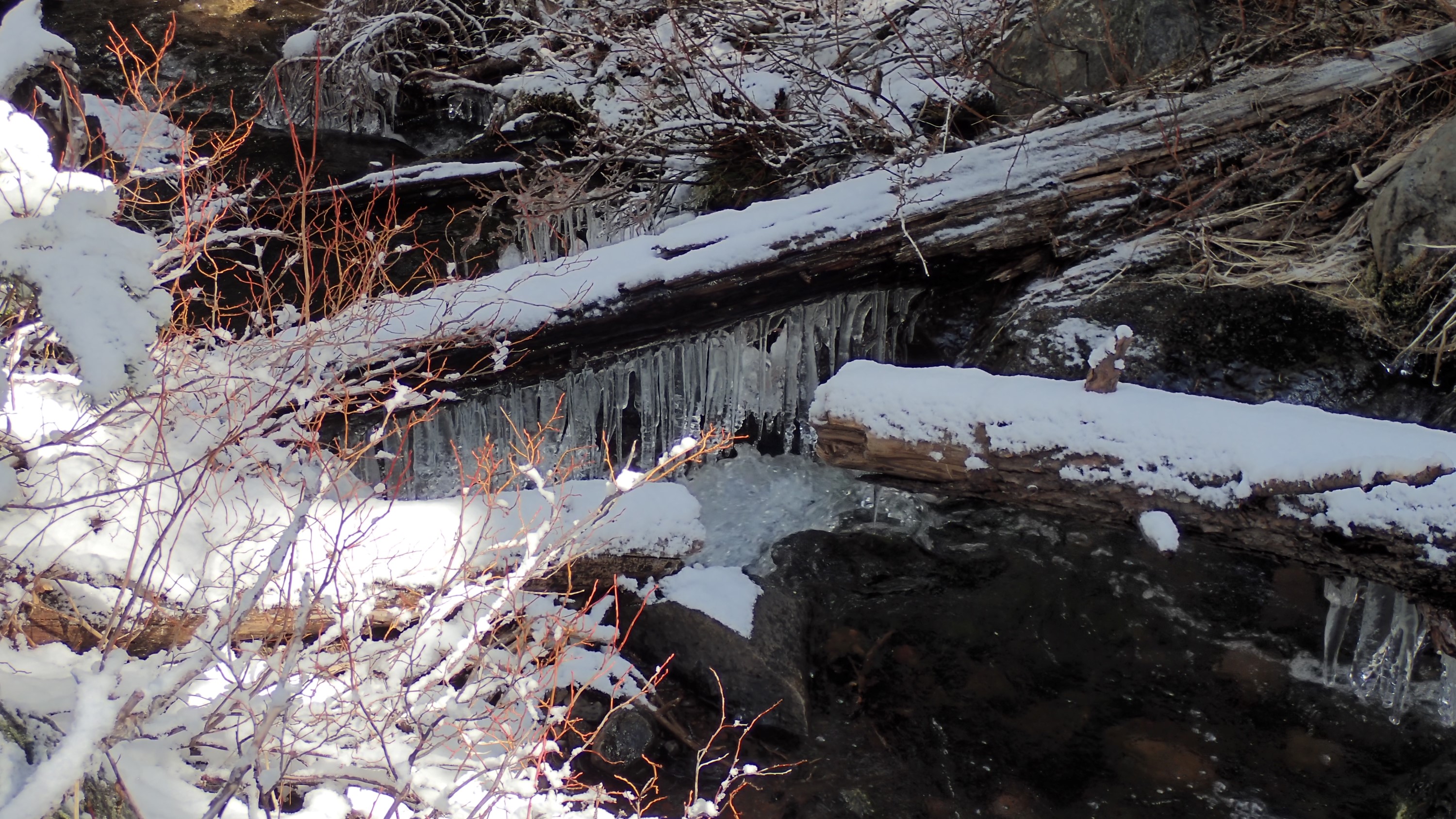
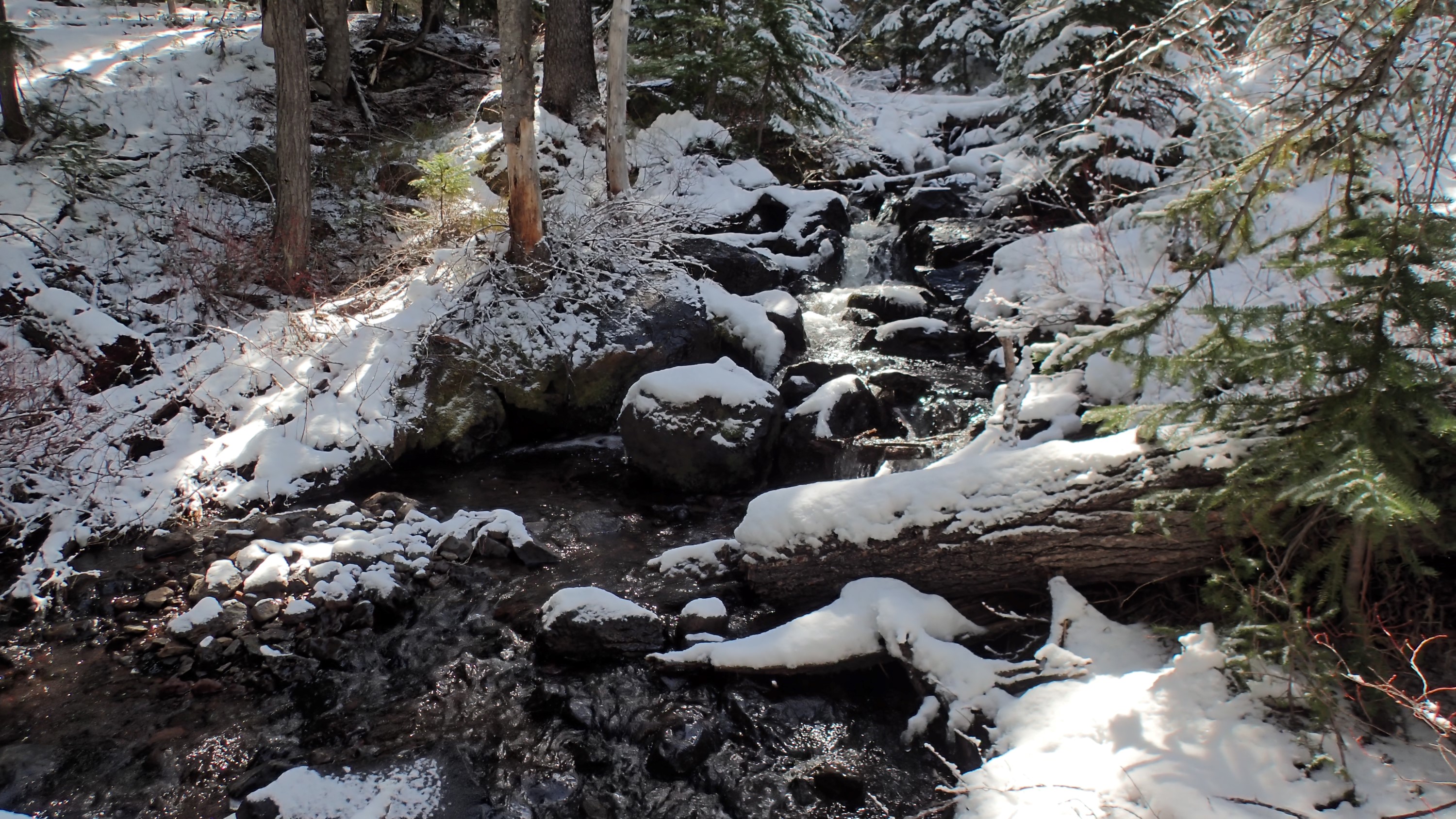
This is Skyline Creek. Although I crossed a few small bridges, this unbridged stream was the only running water I saw. I loved the icicles under the logs:
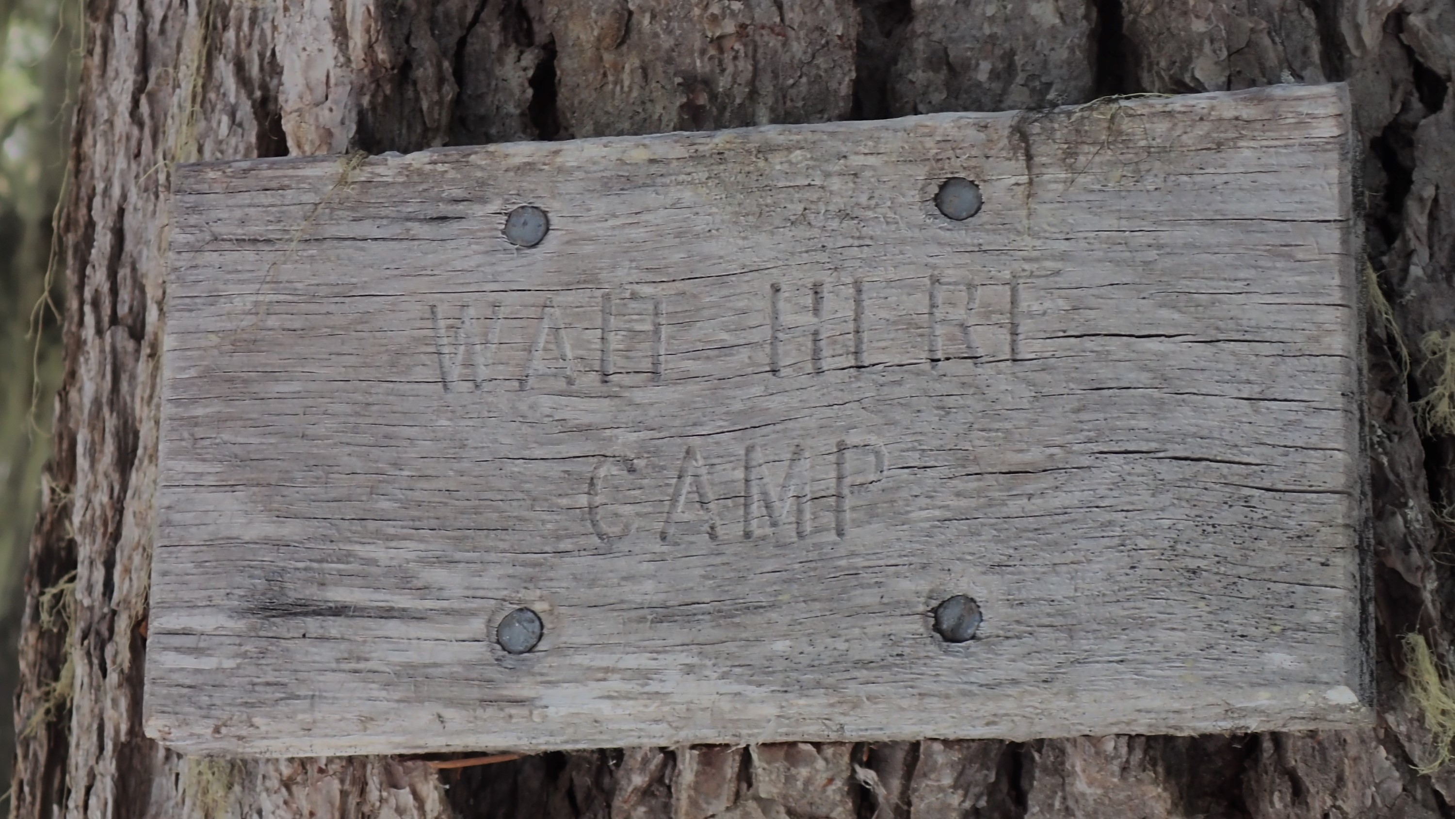
This sign was posted near the intersection of the Maiden Peak Trail and the Douglas Horse Pasture Trail. I laughed. What a great name for a camp location! If you find it hard to read, it says “WAIT HERE CAMP”:
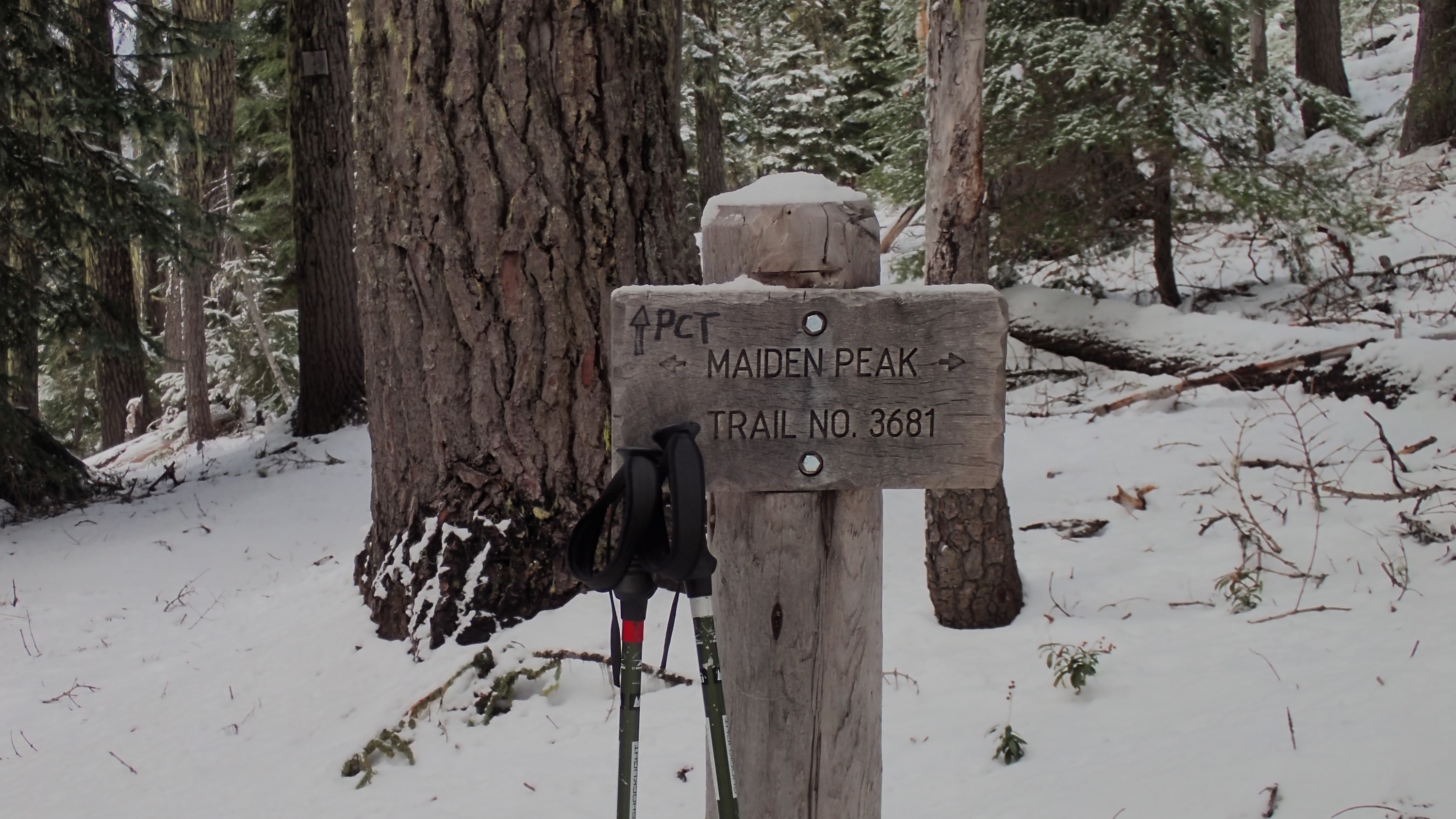
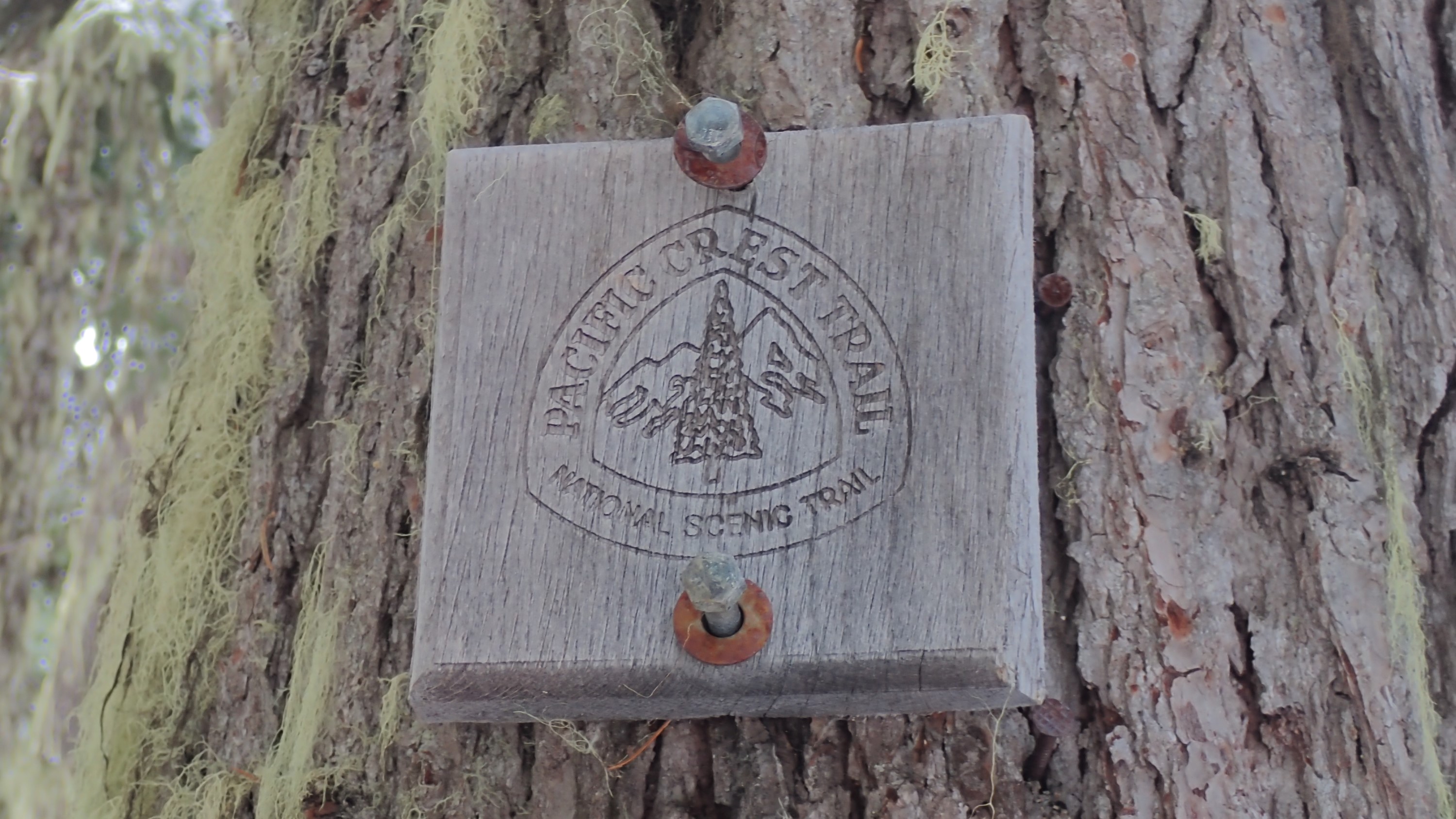
After a hard 2.4-mile walk up the Maiden Peak Trail I finally reached the PCT:
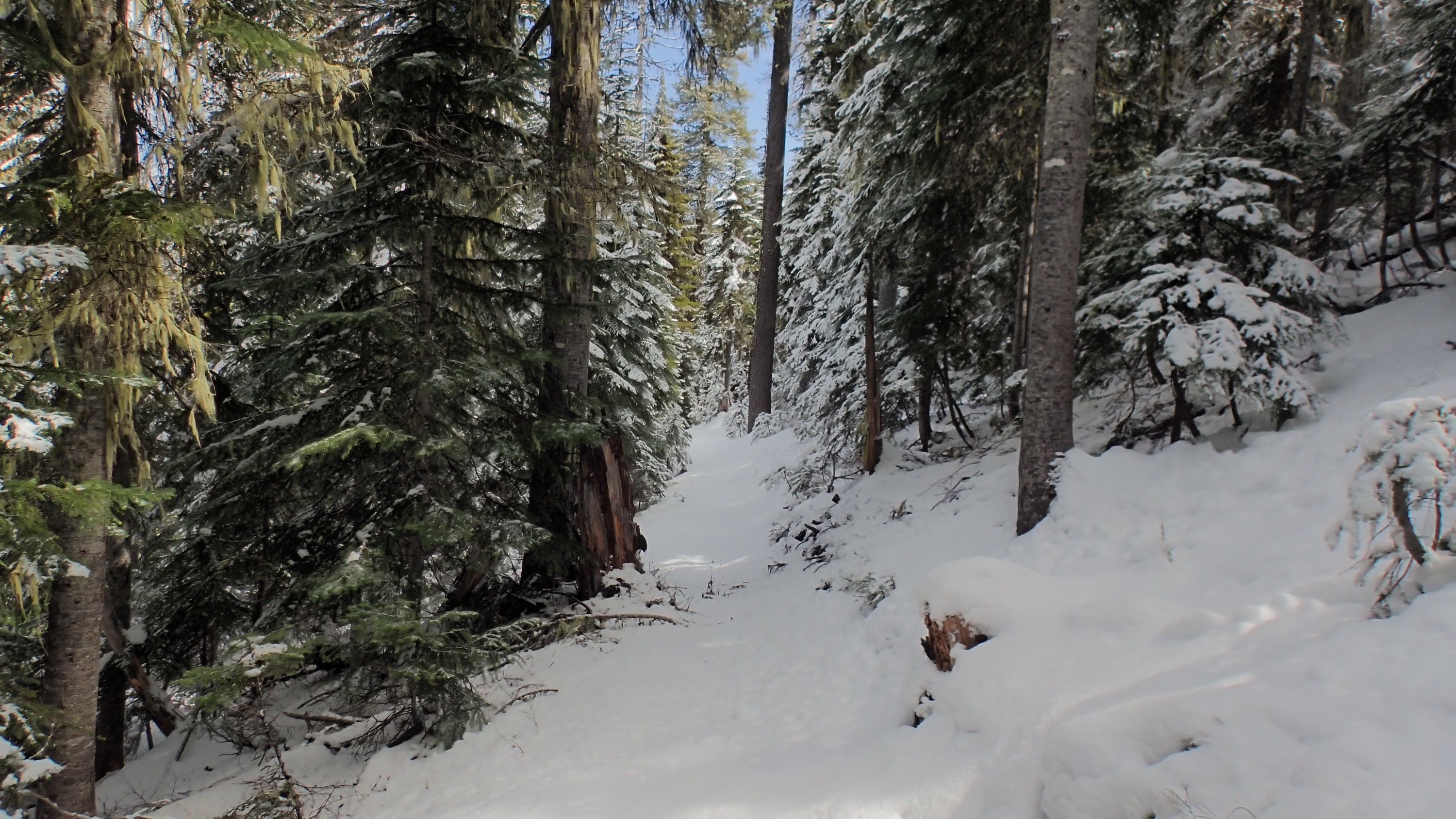
The PCT itself tended to deeper snow. In many places, such as pictured here, my boots sank as much as 6″:
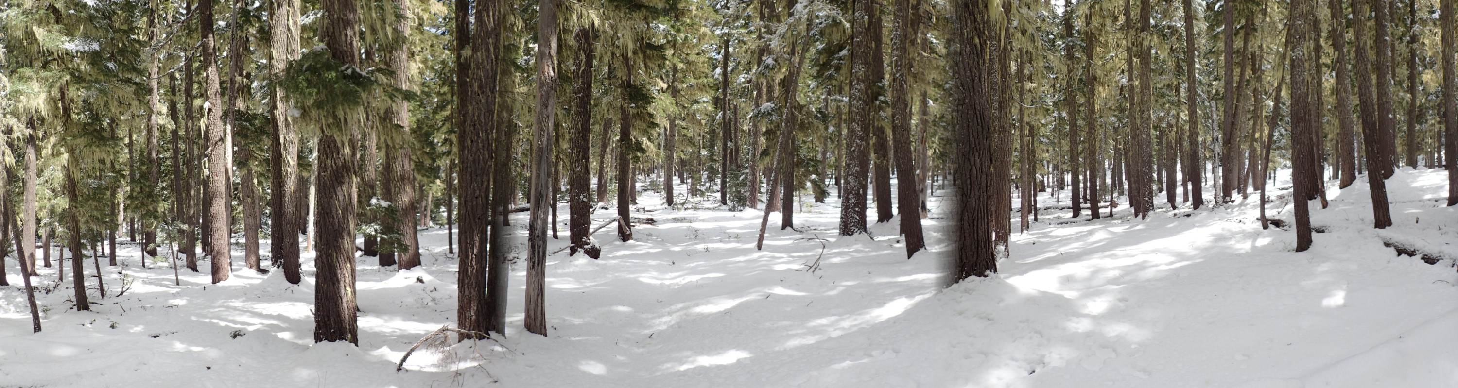
This panorama turned out well except for the blurry tree to the right of the trail. It gives a good idea what it looked like in areas that did not have heavy undergrowth:
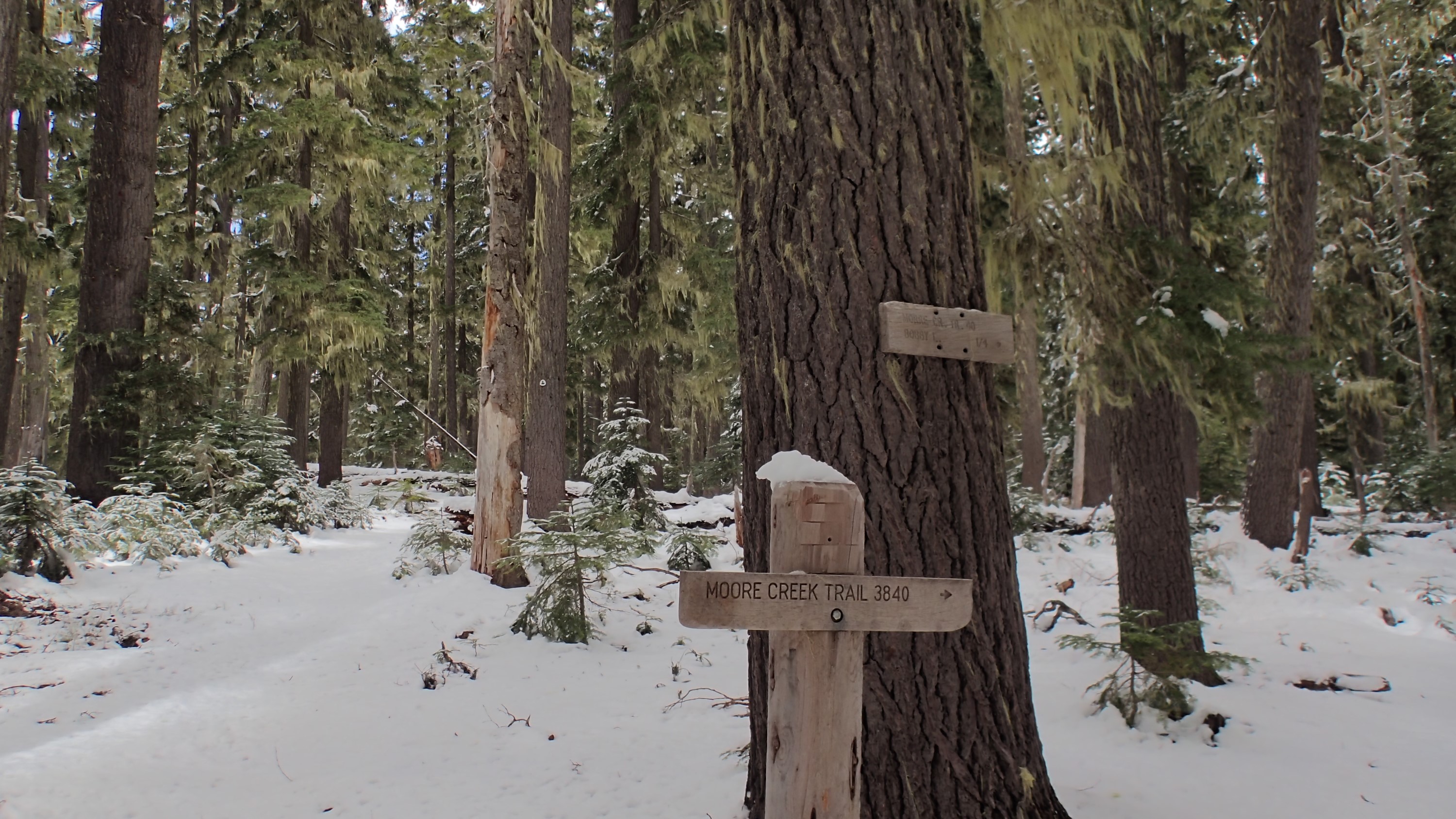
After hiking north on the PCT for 2.5 miles I came to the Moore Creek Trail, which leads to Bobby Lake:
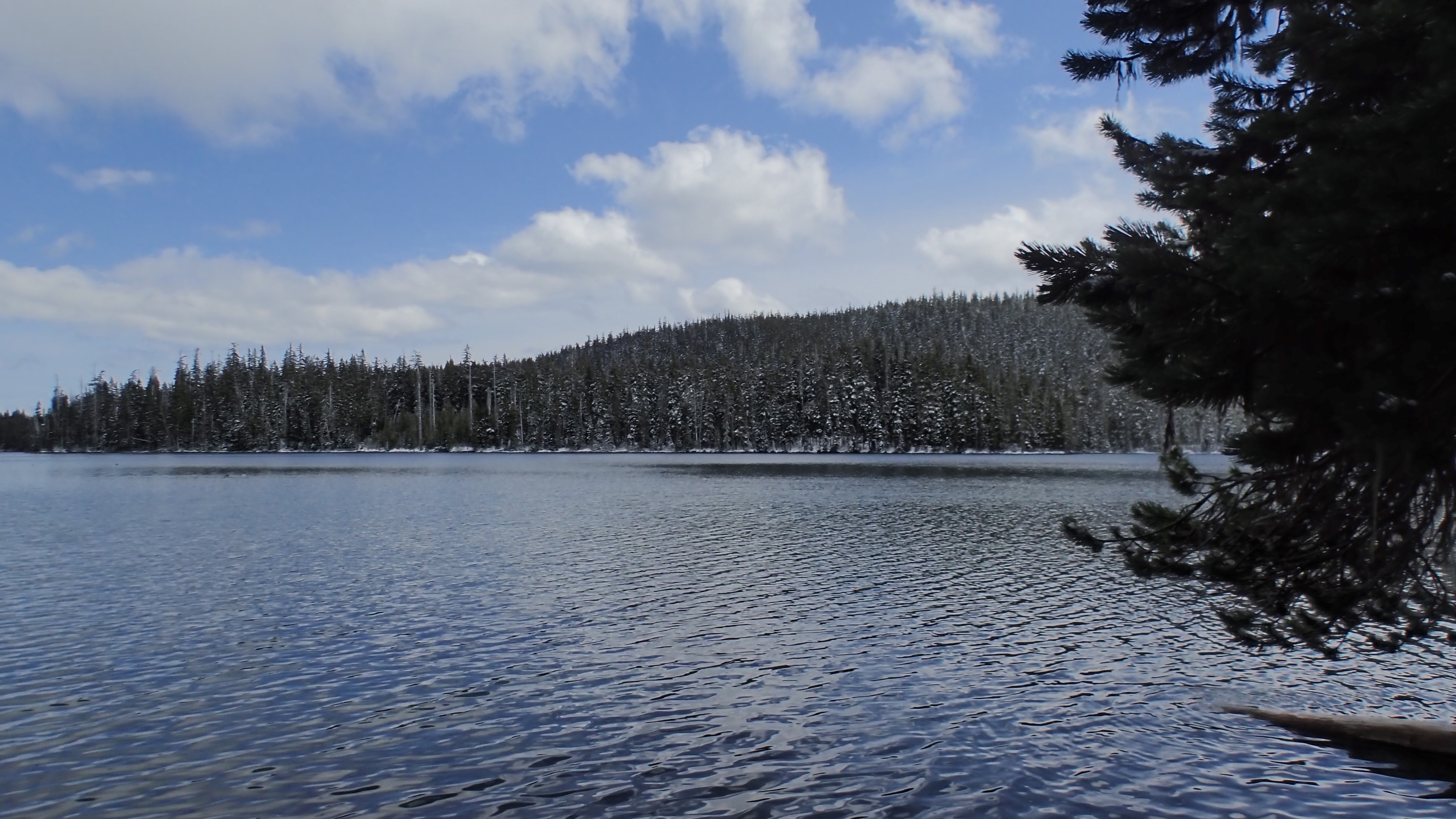
From there it was only an easy 1/4 mile to the lake itself. I had been hoping for a beautiful lake-in-the-snow view, but a lot of the snow is already gone here at 5920′:
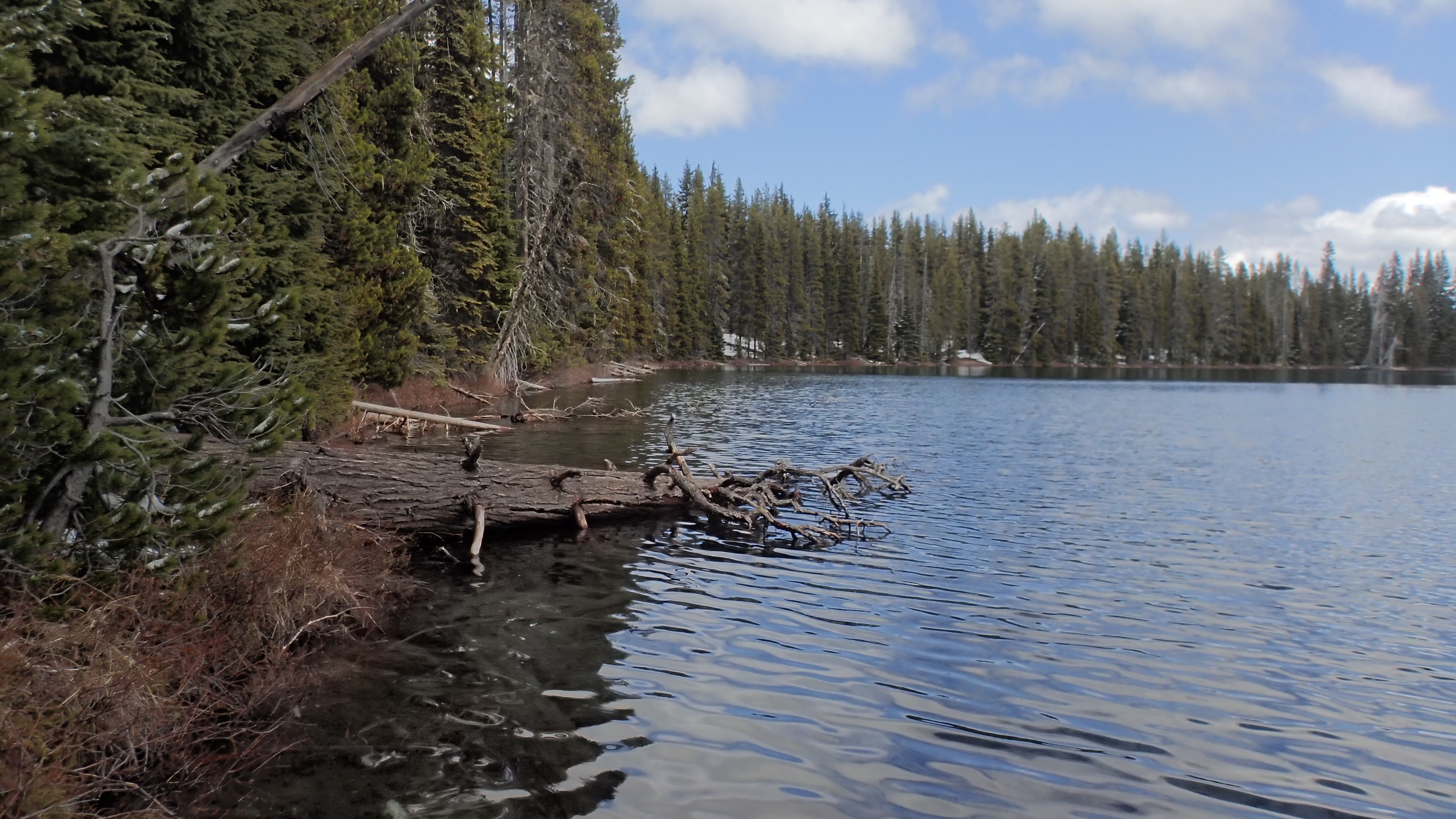
When I was here in August, I hung my hammock between these trees:

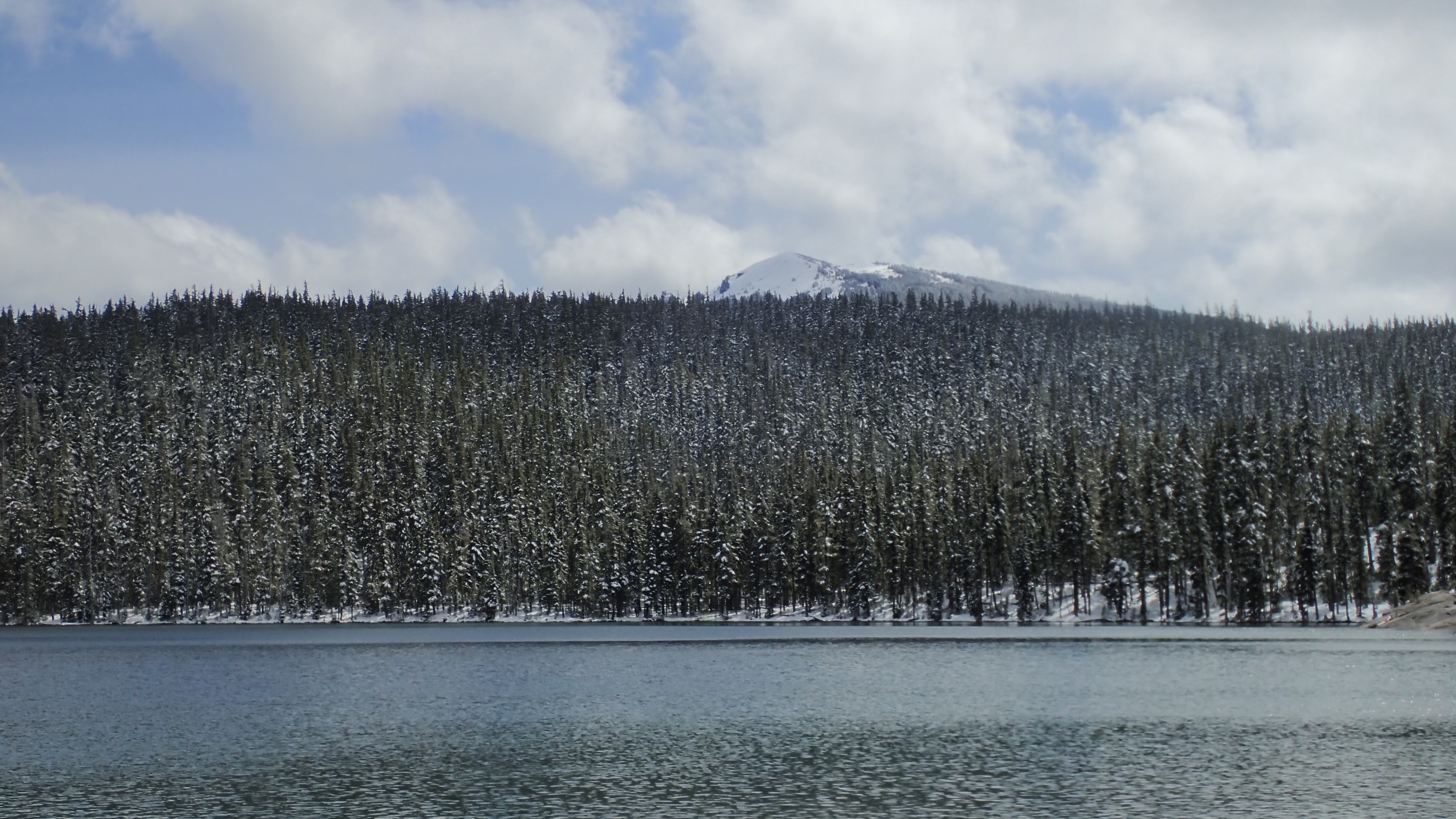
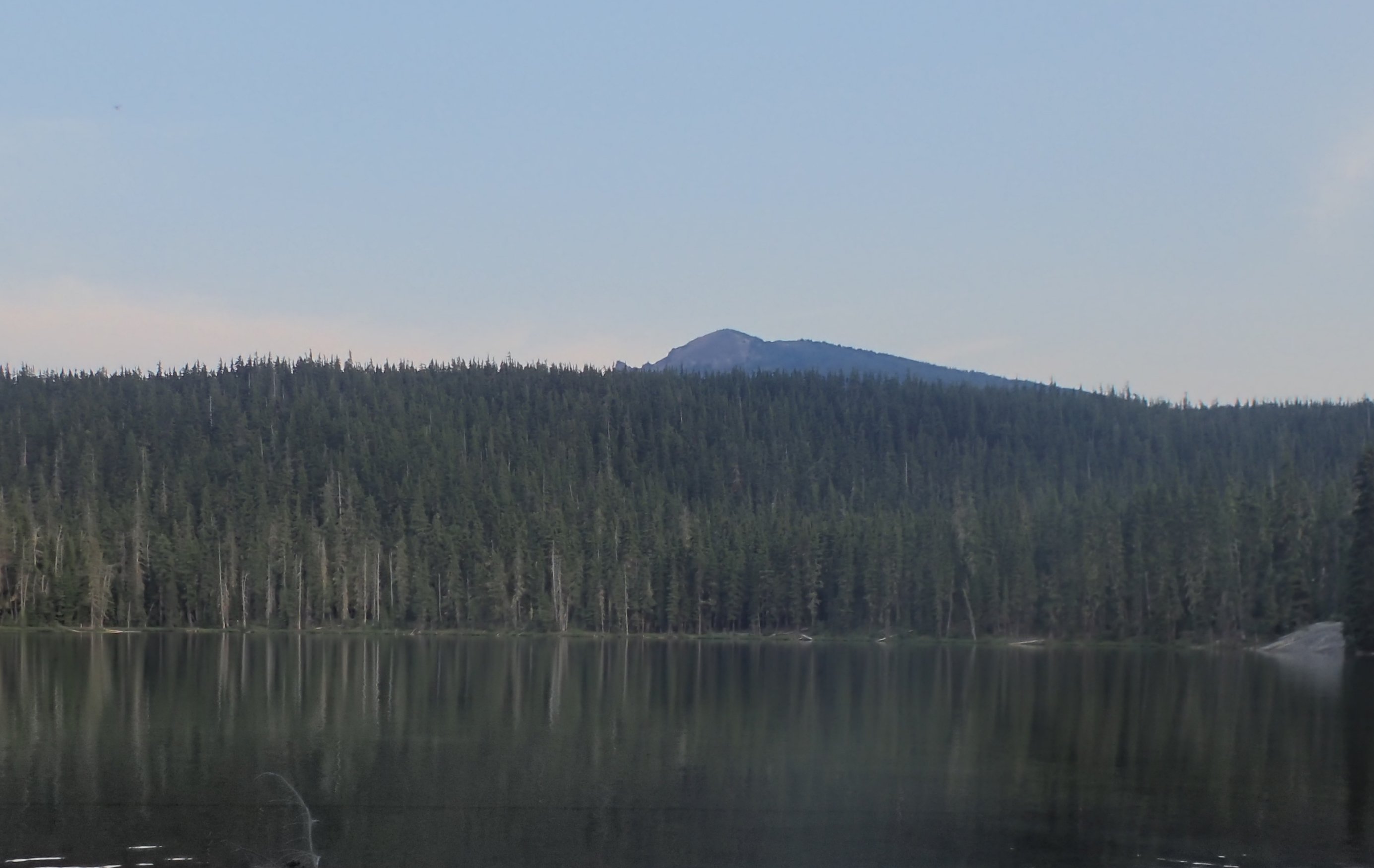
Here’s another summer/now comparison. These two pictures are almost the exact same view. The first is from this outing, and the second is from last Agust:
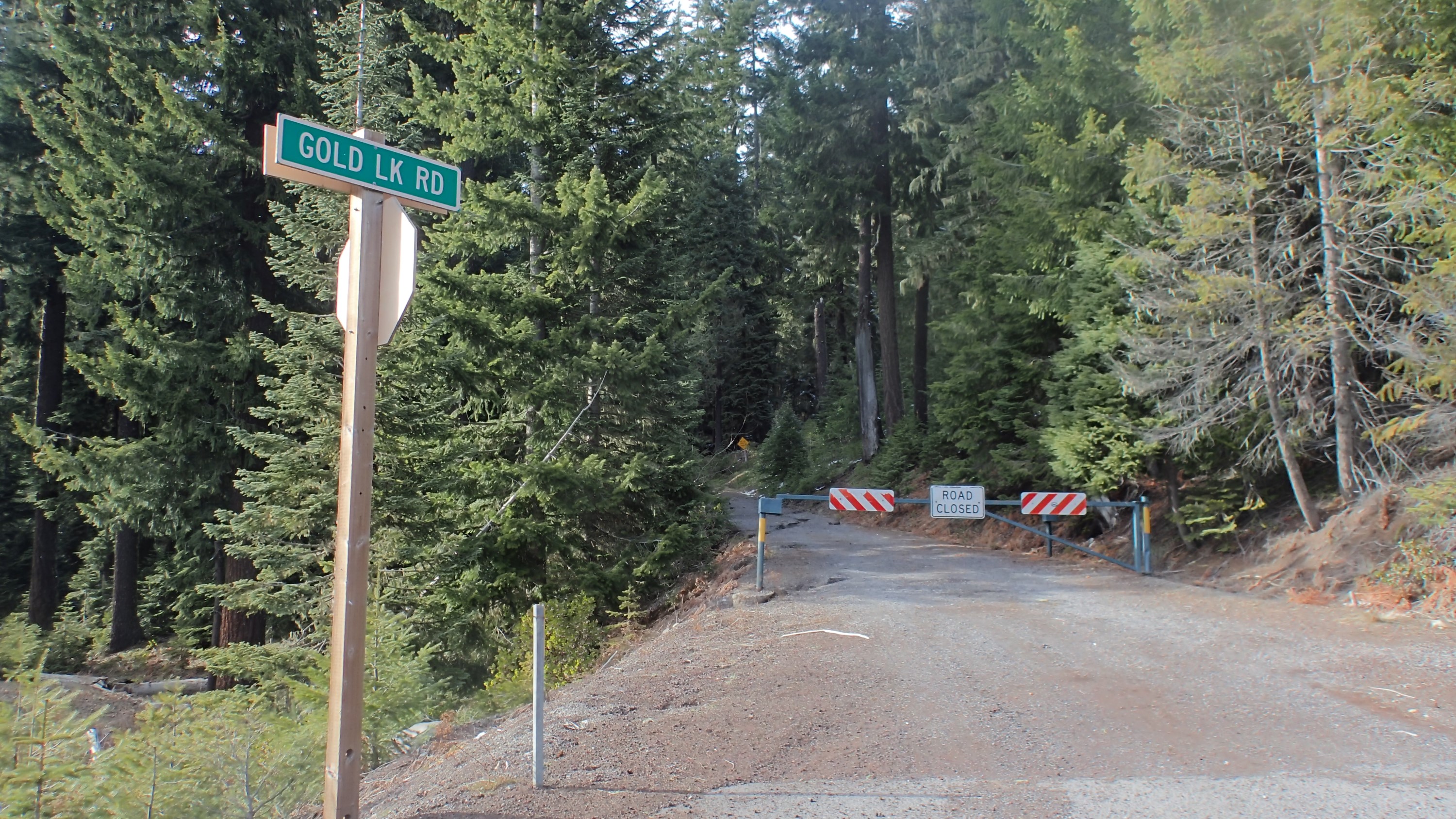
Since I had already hiked past my ‘turnaround time’ to make it to Bobby Lake, I didn’t stay long. On the way back I simply reversed my course, with the exception that when I reached the Maiden Peak Trailhead at Gold Lake Road I simply walked back down the road to the parking lot. When I got there I found that nearly all the snow I had seen that morning was melted and gone:

Alltogether this was a fun hike if a bit hard. In fact, the snow made it grueling. My GPS’s odometer stated I had walked 15.92 miles over 7 hours of actual movement. I’m happy with that.
You can download the KMZ file here to view my route in Google Earth.