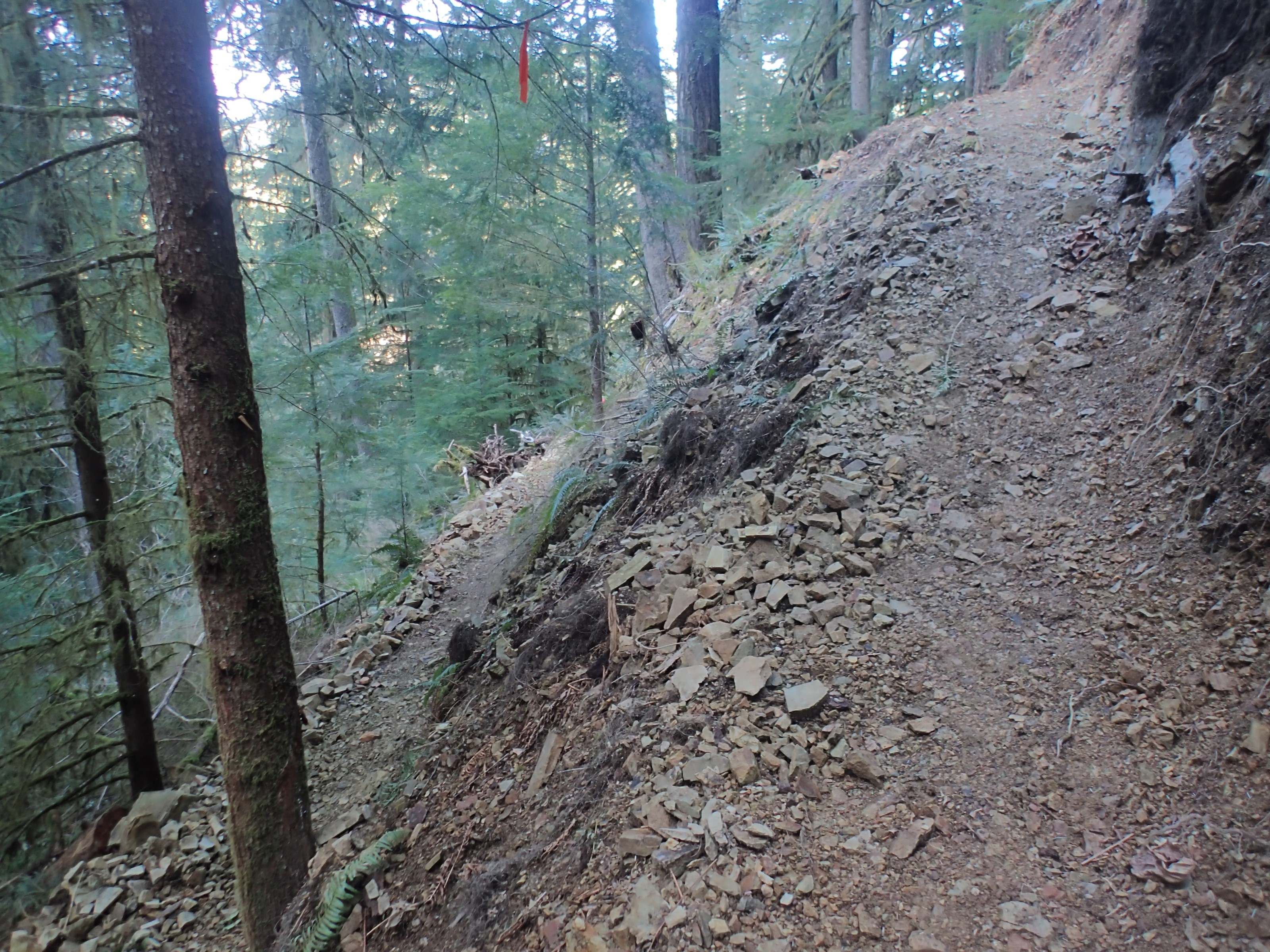
Then I reached a sign indicating I should head up a series of switchbacks instead of continuing on. I had made it to the washout/landslide. I followed the original path around the corner to see it for myself:
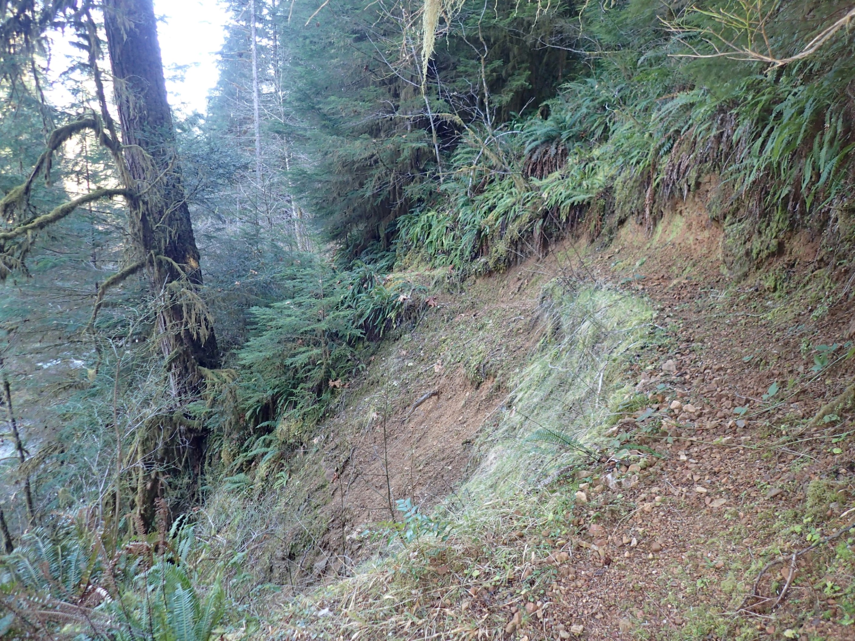
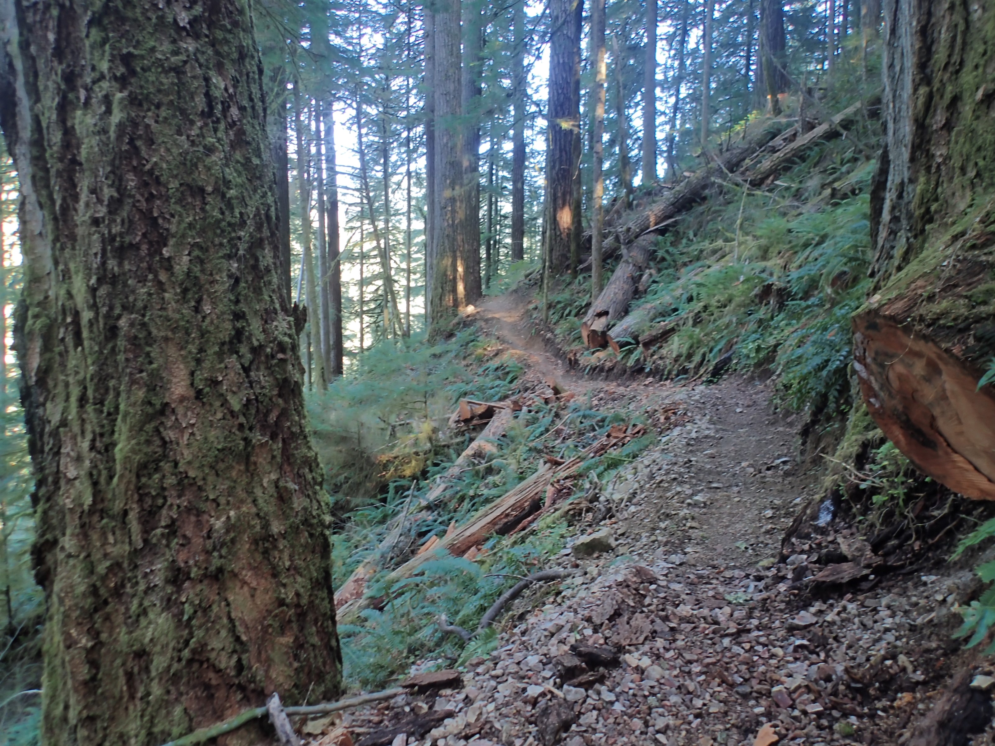
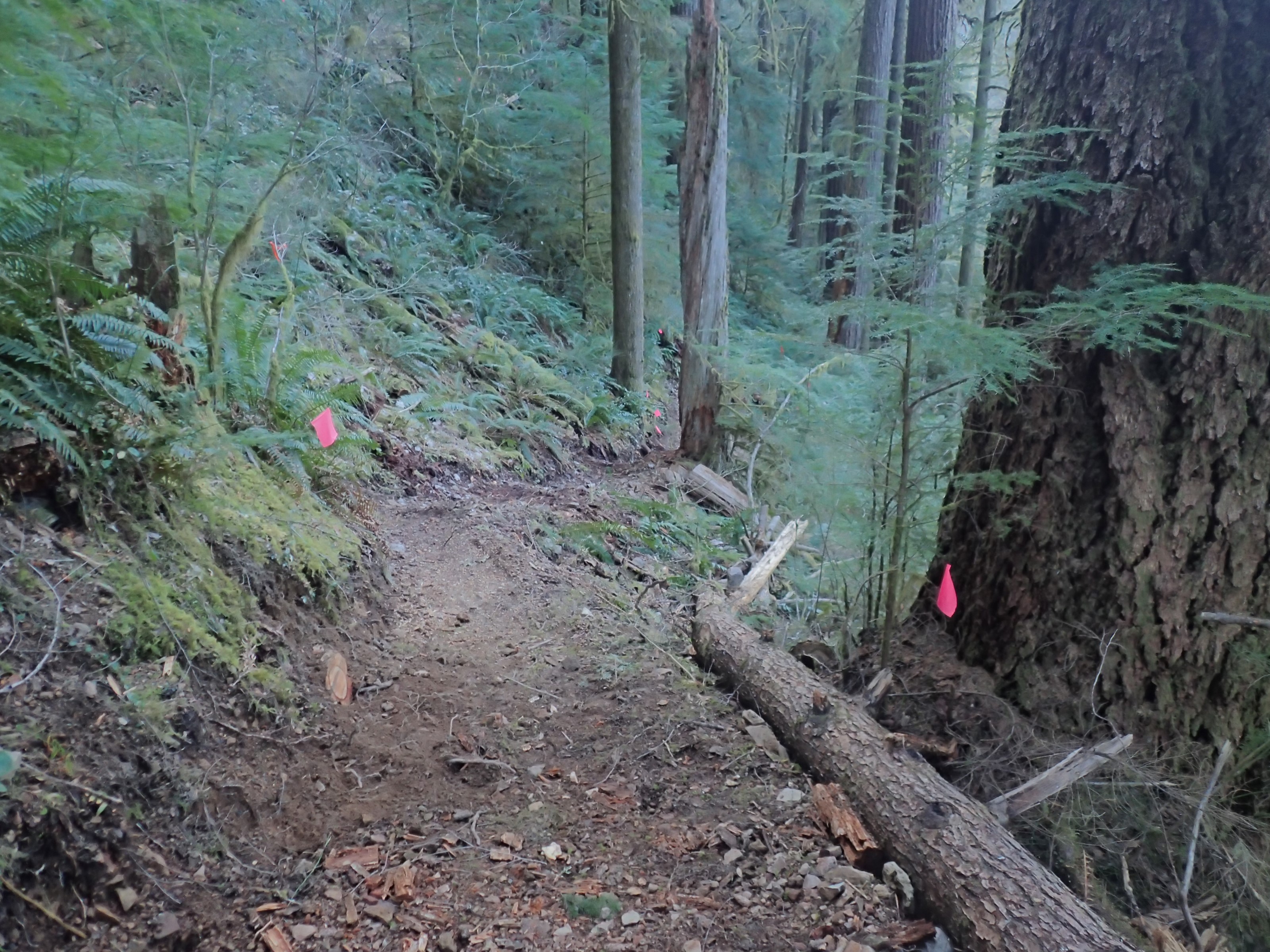
A significant amount of earth had slid away beneath the trail and had been carried away by the creek. In that image, the impassable trail is about 30′ across. I could try to work my way around it just uphill of the slide, but this would only contribute to the problem. Besides, there may be more washout around that bend – this section of the trail runs along a very steep section of the hillside. So I turned back and followed the new route. It’s been years since I saw newly built trail like this:
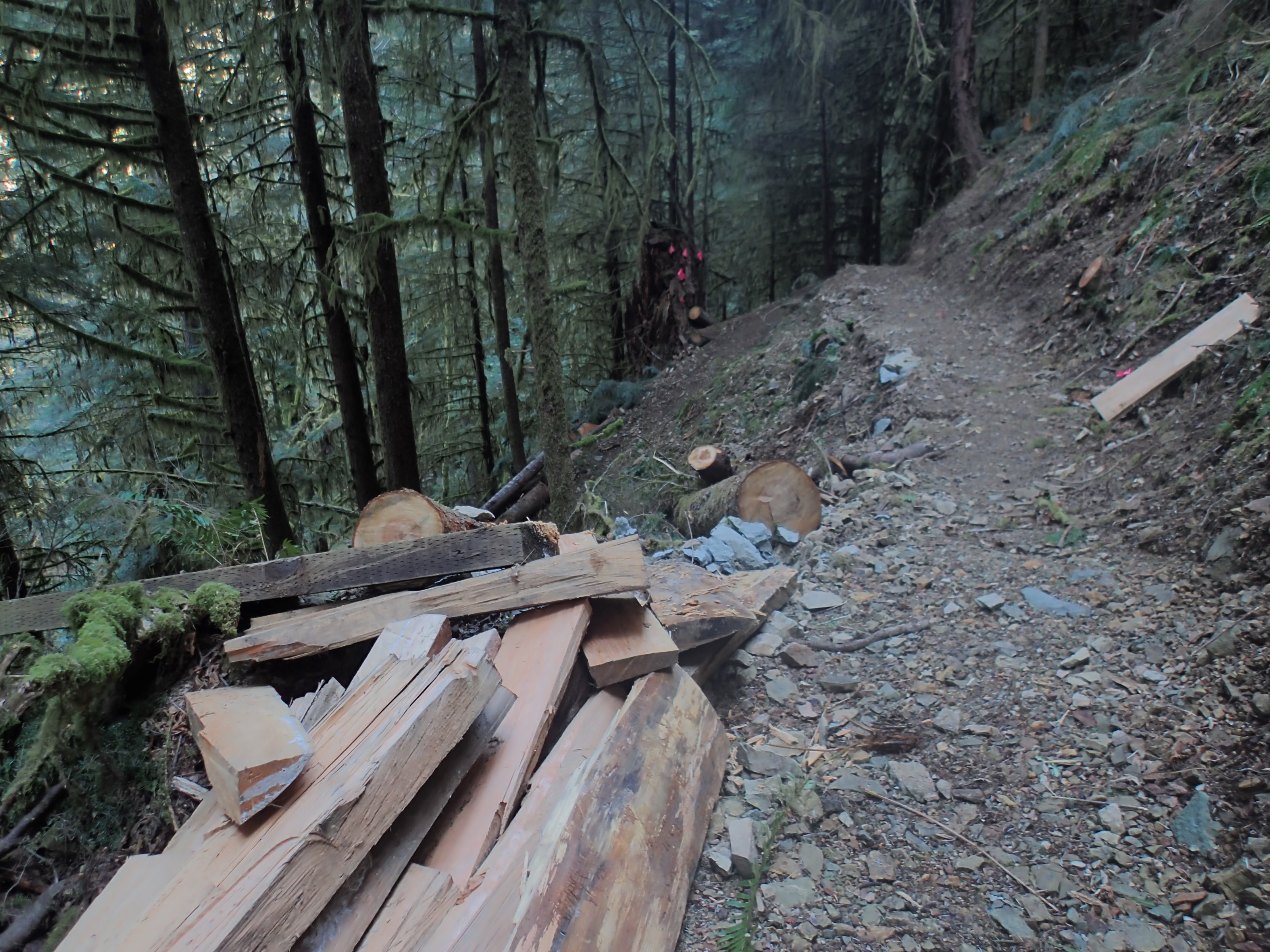
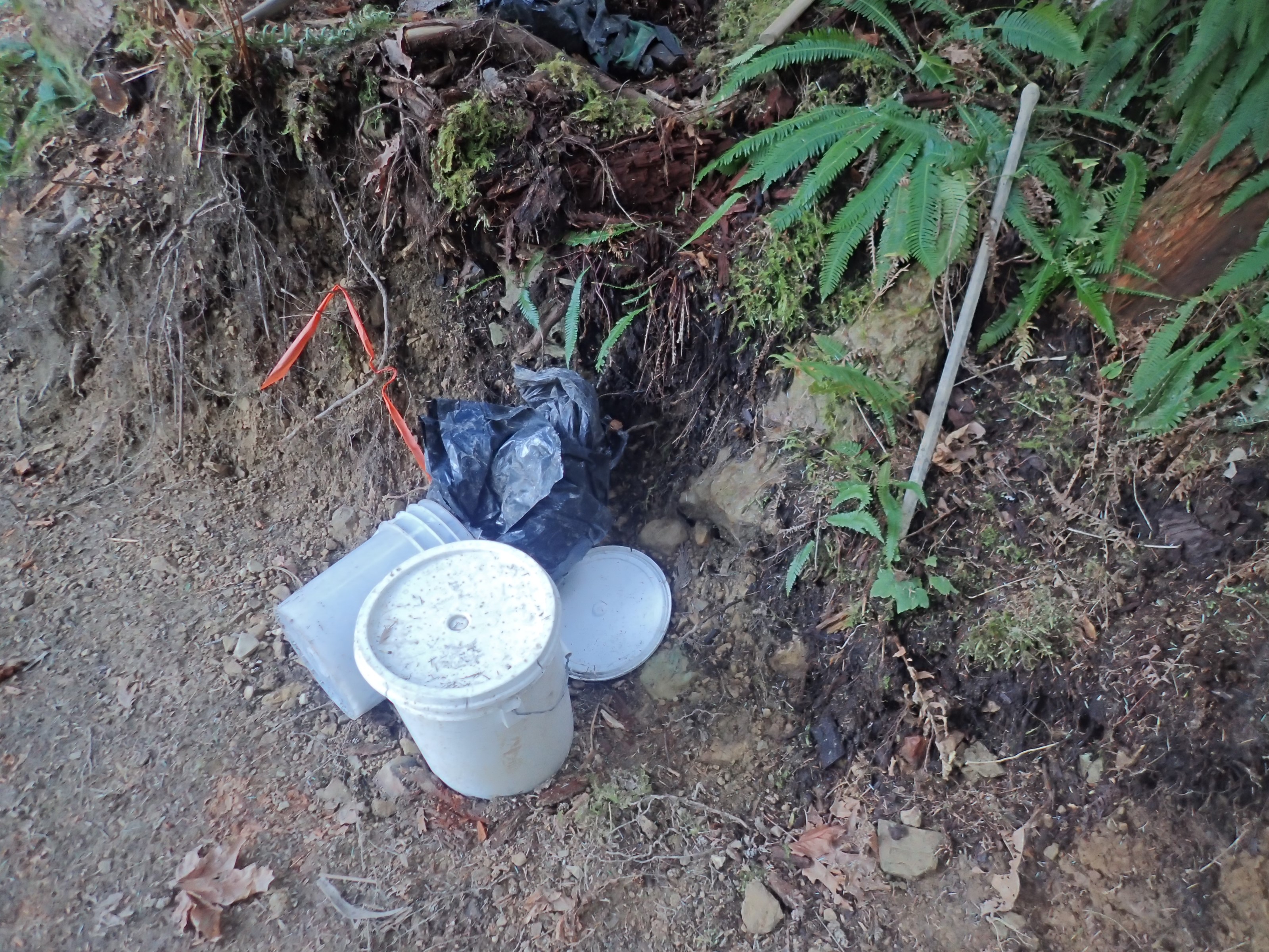
I found several piles of split wood that can be used to reinforce log barriers, build steps, and otherwise stabilize the trail:
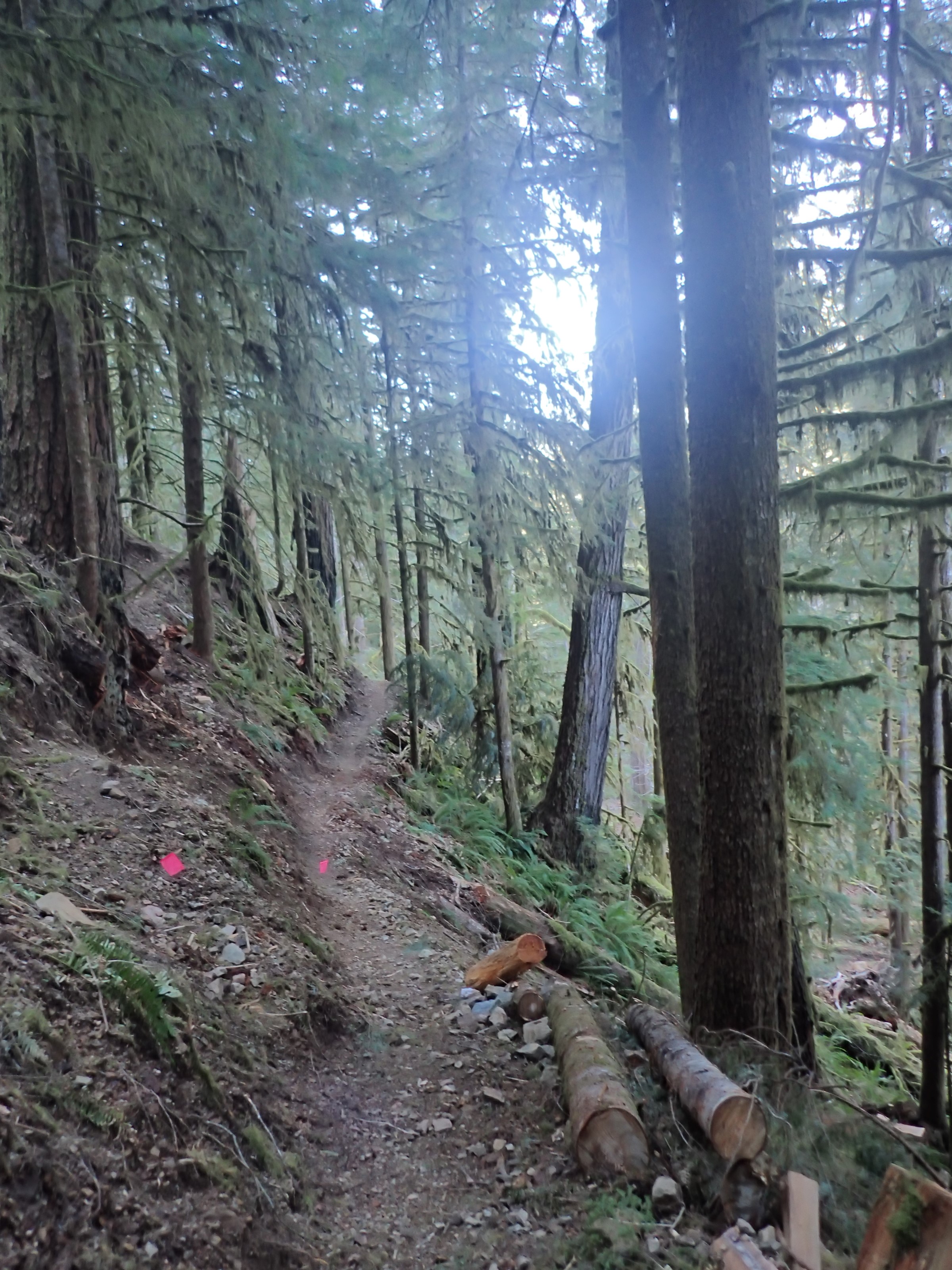
The new trail zig-zags up the hill about 200′ and then back down again. This adds just about 1 mile to replace the 400′ of old trail that is now bypassed. Along the top traverse of the hillside I came across this:
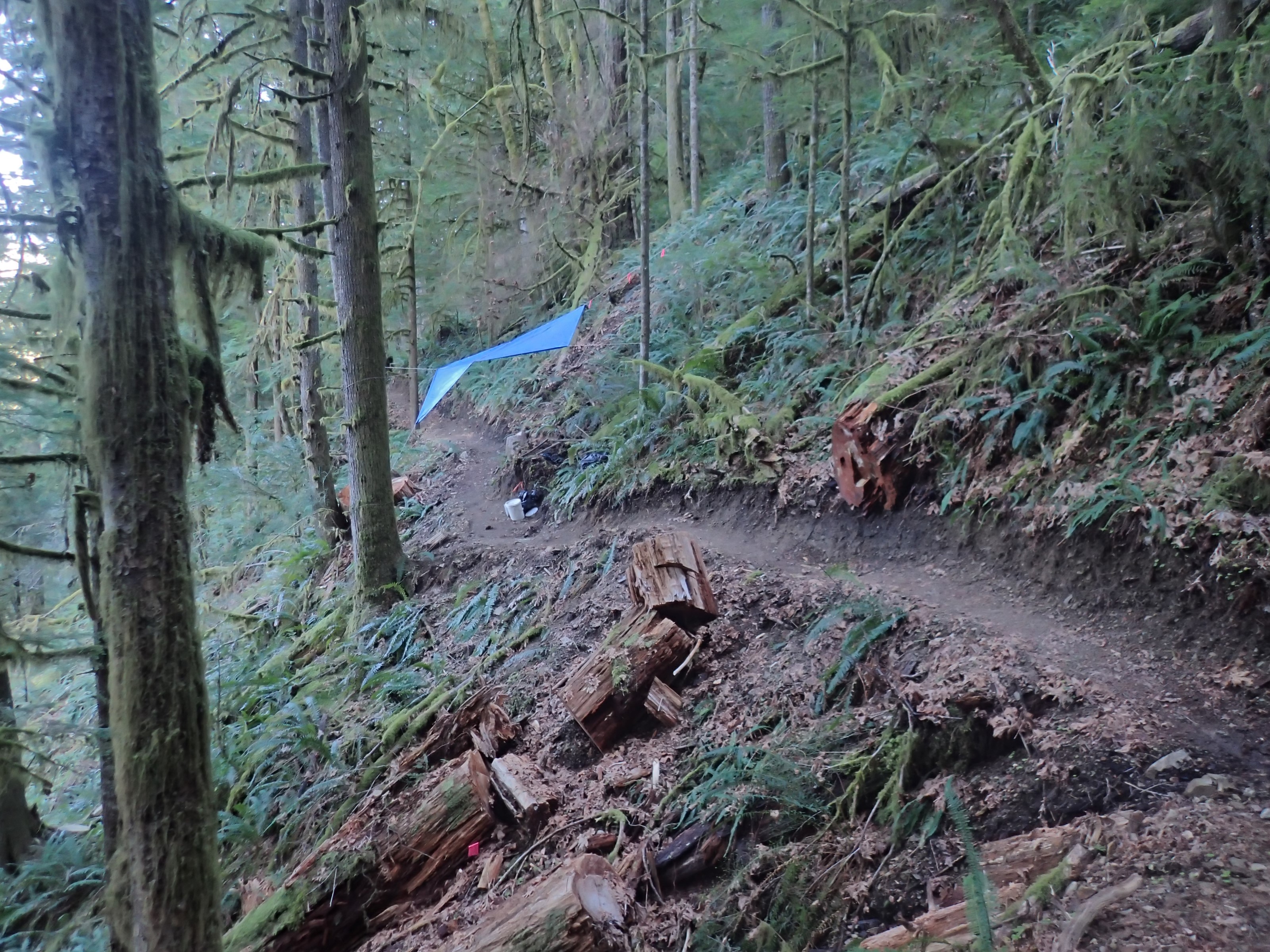
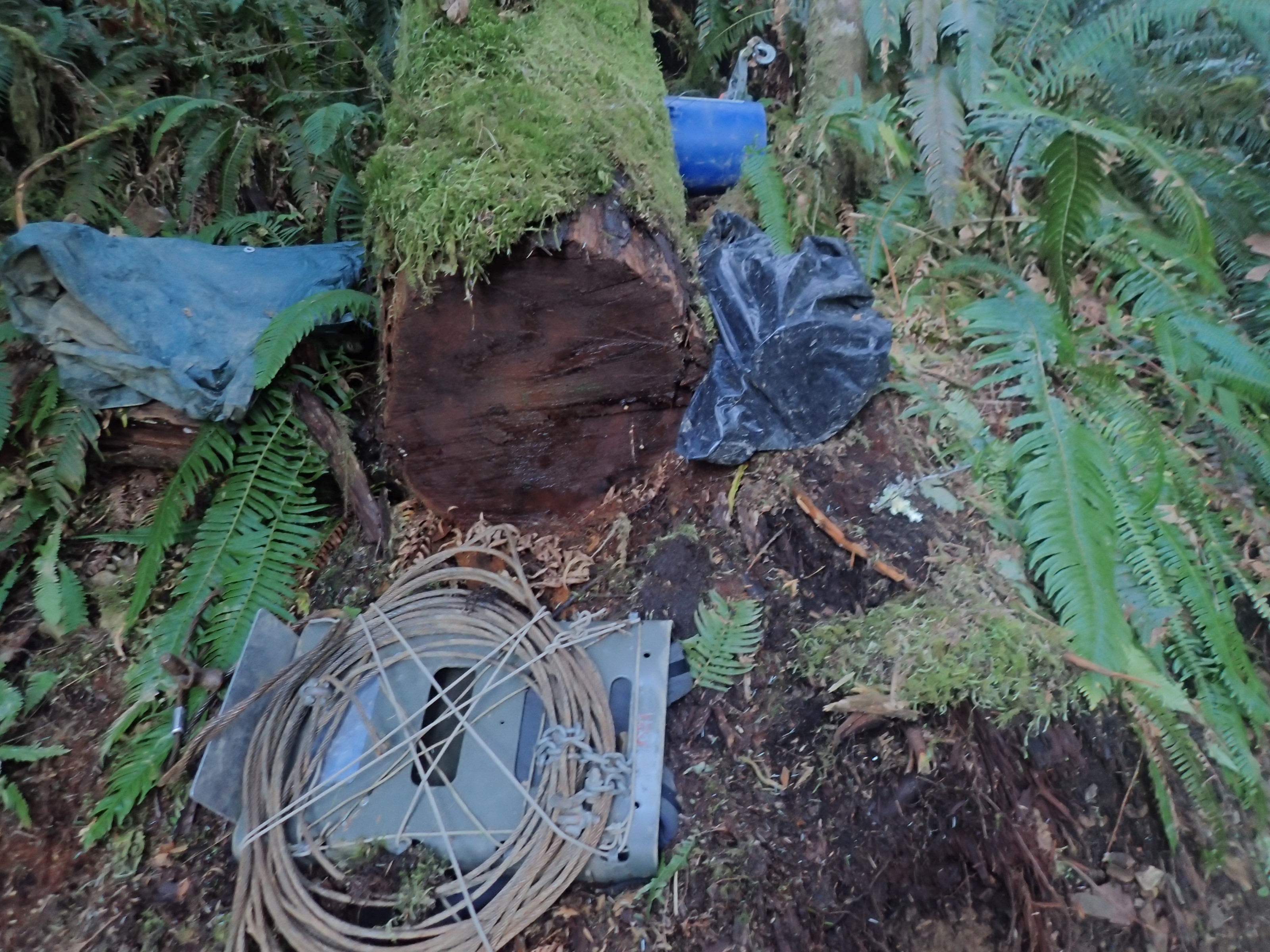
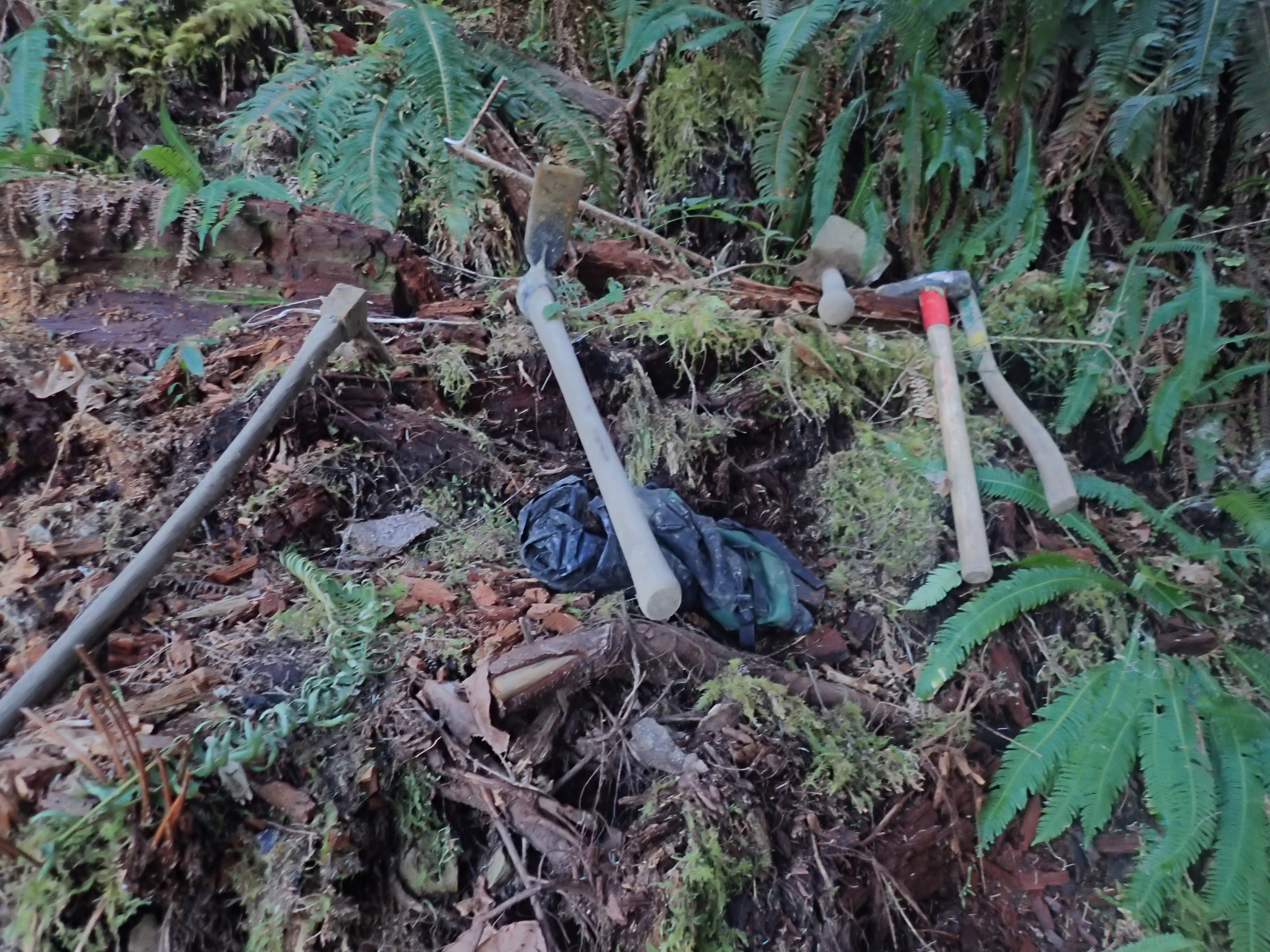
This section of trail is still very much under construction. A good collection of tools sat along the trail under that tarp. As most hikers are good enough to leave such tools as they lie, and because they are heavy, tools like this do tend to be simply left out here until the job is complete. As I headed down the other side of the bypass I noticed that this section of the trail is less complete:
Here I found a hammer and chisel (wrapped up in the blue cloth) that was being used to break up some of this outcrop of rock to let the trail through:

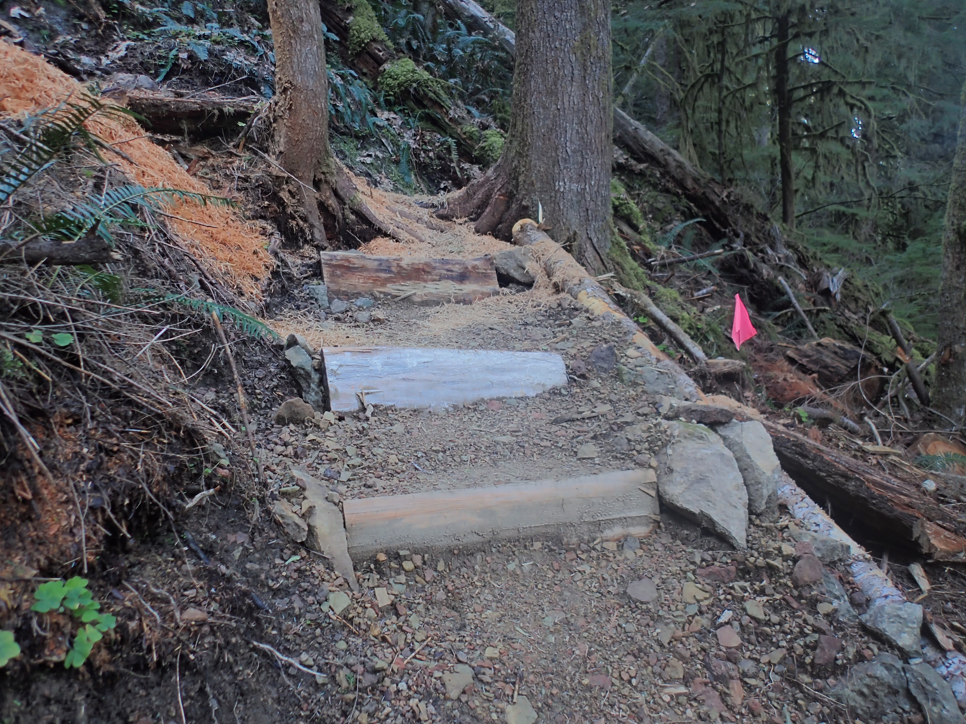
And here is a brand-new set of steps at the turn of one of the switchbacks:
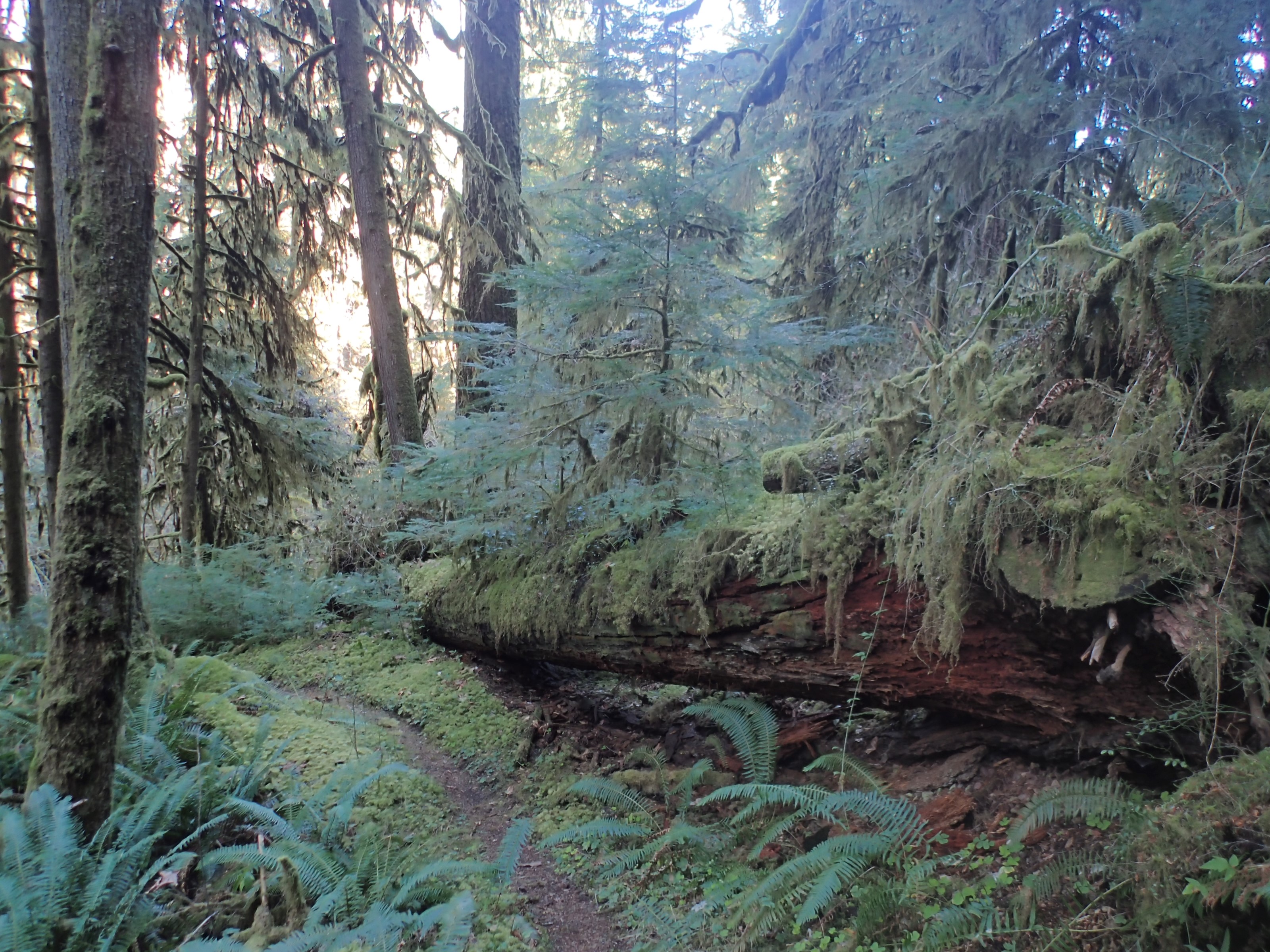
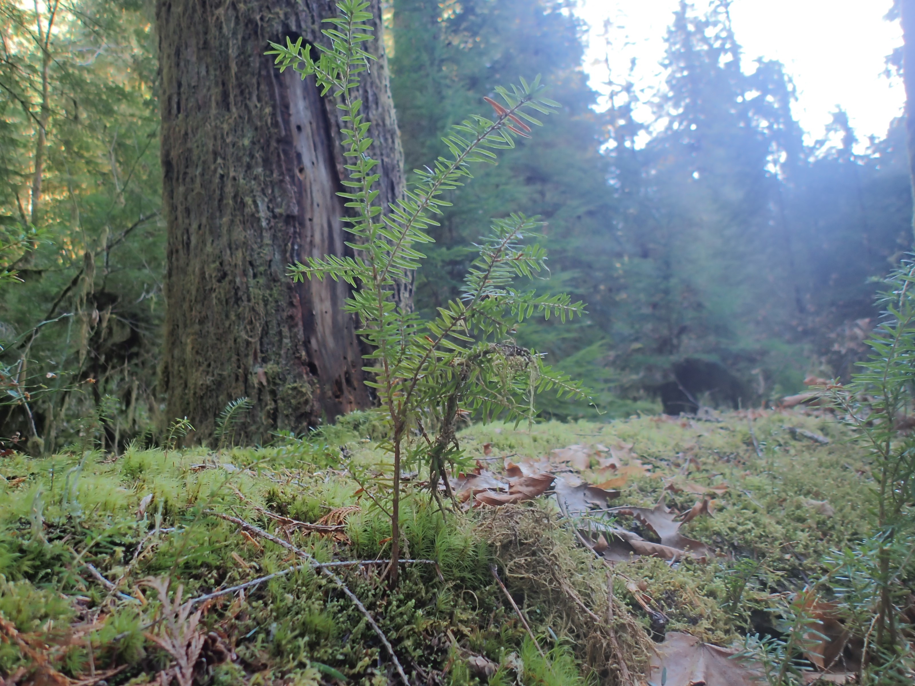
Some sections of the trail are particularly moss-heavy:
This nurse log is beautiful:
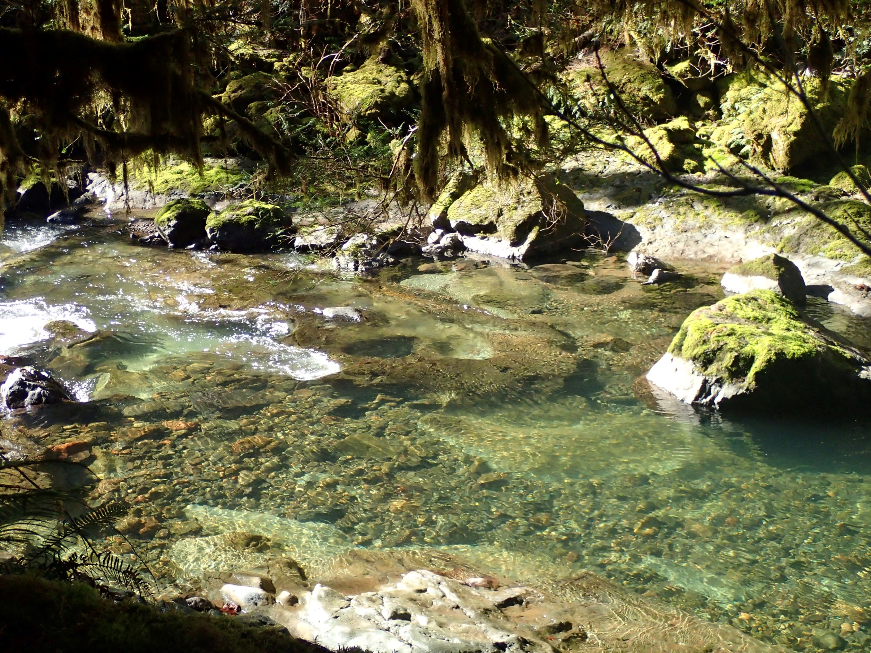
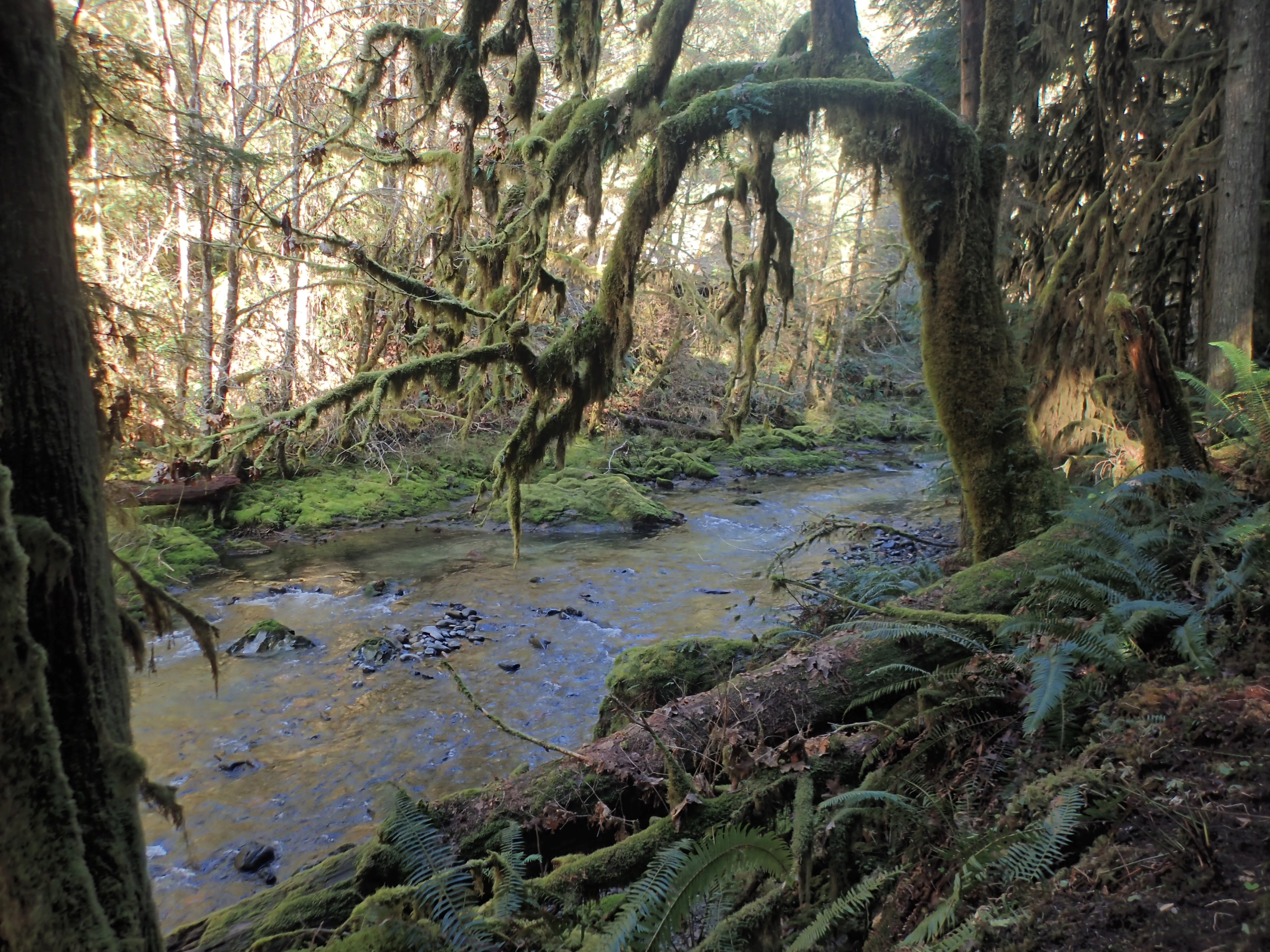
A lot of the hilside is this steep, all the way down to the water:

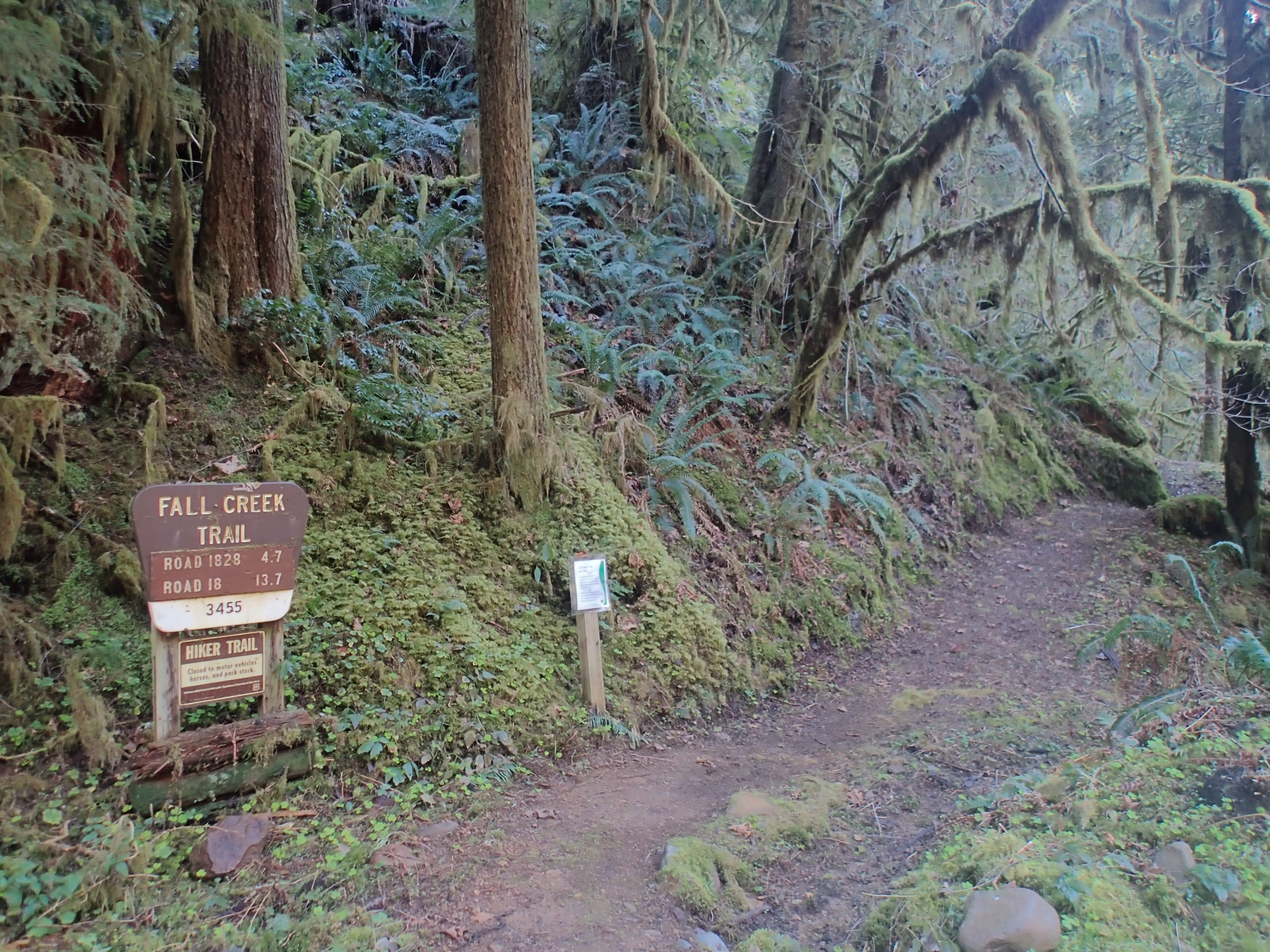
This is the upper trailhead, where I turned around to head back to the car:
It was a good walk. According to my GPS, I covered 13.6 miles. You can download the KMZ file here to view the route in Google Earth.
Oh, these pictures are so lovely, and the videos of the creek are just enchanting. I love getting these posts and pictures and comments about your hiking adventures. Thank you so much for sharing them with me. It reminds me of years ago when we used to go camping in the Sierra Nevada mountains when I lived in Sacramento. The country here in Kentucky is beautiful, but it’s just a completely different kind of country than the West Coast mountains, and they are lovely to see again.